Browse / United States / New York / Danby
Danby
New YorkCDP
Total population
540
Median home value
$325,800
Bachelor's+
Median income
$145,781
Demographic figures from US Census Bureau · ACS 5-year estimates. Overview below cites Wikipedia and may reference a different year.
City facts
Overview
Danby is a town in Tompkins County, New York, United States. The population was 3,457 at the 2020 census. The town is in the southern part of the county and is south of the city of Ithaca.
Read more on WikipediaHistory & geography
History
The Cayuga people, one of the Six Nations of the Haudenosaunee, occupied the land at the head of Cayuga Lake for centuries. Indigenous peoples were largely forced out of Upstate New York by the Sullivan-Clinton Expedition in 1779. The land that would become the Town of Danby was a part of the Watkins and Flint Purchase, a 336,380 acre patent granted by New York State to numerous eastern investors in 1794. Danby's first European-American settlers, including Isaac and John Dumond and Jacob and Joseph Yaple, arrived in 1795. The town of Danby was created from the town of Spencer on February 22, 1811. Danby was part of Tioga County until 1822 when it was annexed by Tompkins County. In 1839, a part of the town of Caroline was added to Danby, and part of Danby was lost to the town of Dryden in 1856. The Ithaca-Owego Turnpike was completed through Danby in 1811, connecting Cayuga Lake with the Susquehanna River. Today, Route 96B generally follows the same route and continues to provide an important connection between Ithaca and Binghamton and communities downstate.
Geography
Tompkins County is often included in the Finger Lakes Region of New York State, but is sometimes included in the Southern Tier Region. The physical geography of Danby mirrors this duality as the drainage divide between the Susquehanna River and Lake Ontario runs across the town. Generally, waters in the northern and western portions of the town flow north into Cayuga Lake, Lake Ontario, and the St. Lawrence River, while waters in the southeastern portion of the town flow south into the Susquehanna River and Chesapeake Bay. Danby is situated along the northern edge of the Allegheny Plateau, part of the Appalachian Mountains. The town is characterized by three primary land forms: * The deep north-south valley of Cayuga Inlet in the western part of the town * The western slopes of the Sixmile Creek valley in the northeastern part of the town * A highland plateau in the central portion of the town rising in the north to Ithaca's South Hill and narrowing in the south into the valley of Willseyville Creek Elevations range from approximately 450 feet above sea level where Cayuga Inlet crosses the northern town line, to about 1230 feet at Town Hall in Danby Hamlet, to just over 1800 feet at Dawes Hill in the southwestern part of the town and Roundtop in the southeastern part of the town. The dramatic hill and valley lands of Danby have sometimes been referred to as the 'Danby Highlands'. According to the United States Census Bureau, the town has a total area of , of which is land and (0.33%) is water.
Excerpted from the corresponding Wikipedia article (CC BY-SA).
Demographics & economy
Race & ethnicity
Source: US Census Bureau — American Community Survey, 5-year estimates.
Geography
Coordinates & boundaries from the US Census TIGER/Line shapefiles.
Climate
Current forecast
Forecast for Danby, NY from NOAA NWS API.
Air quality
Industrial & pollution facilities
Natural hazard risk
Health (adults)
Age-adjusted prevalence estimates from CDC PLACES (latest release).
Walkability
Amenities nearby
Wildlife & biodiversity
Most-observed species
- Black-capped ChickadeePoecile atricapillus (Linnaeus, 1766) · Aves72,026
- Blue JayCyanocitta cristata (Linnaeus, 1758) · Aves70,246
- American CrowCorvus brachyrhynchos C.L.Brehm, 1822 · Aves65,869
- Northern CardinalCardinalis cardinalis (Linnaeus, 1758) · Aves64,159
- American RobinTurdus migratorius Linnaeus, 1766 · Aves63,564
- American GoldfinchSpinus tristis (Linnaeus, 1758) · Aves60,902
- Song SparrowMelospiza melodia (A.Wilson, 1810) · Aves52,137
- Tufted TitmouseBaeolophus bicolor (Linnaeus, 1766) · Aves50,306
Citizen-science & research observations from the Global Biodiversity Information Facility (GBIF).
Schools
Earthquake history
Most recent
- M 2.8 — 2025-06-1010 km NW of Forksville, Pennsylvania
Events from the USGS Earthquake Catalog (global) (FDSN Event Web Service).
Photos
Sights & places nearby
Notable people from here
Nearby places in New York
Geography & sun
Elevation, sunrise/sunset and daylight from Open-Meteo. Solar climatology from NASA POWER.
Nearby airports
Public attention
Pageview totals from the Wikimedia Pageviews API.
Books about Danby
![The statutes at large from the Magna Charta, to the end of the eleventh Parliament of Great Britain, anno 1761 [continued to 1806]. By Danby Pickering](https://covers.openlibrary.org/b/id/11925662-M.jpg)
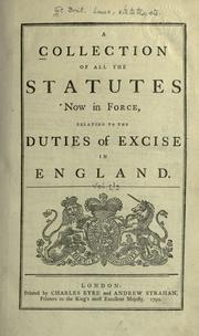

![The history of England from the accession of James the Second [2/5]](https://covers.openlibrary.org/b/id/14851685-M.jpg)
Search results from Open Library.
Recent natural events nearby
Ground air-quality sensors
Recently spotted species
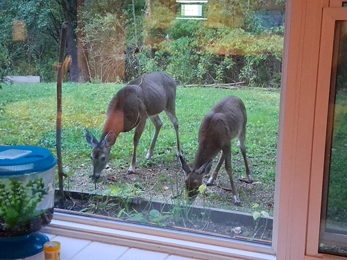
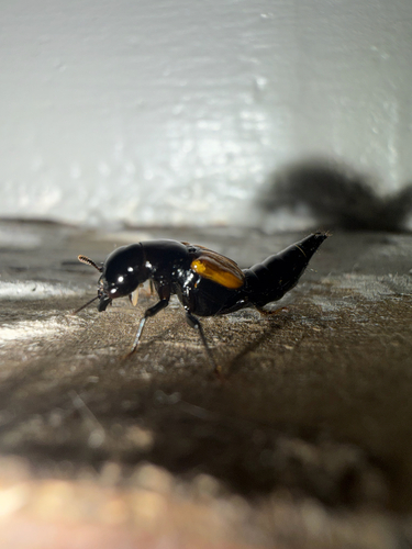
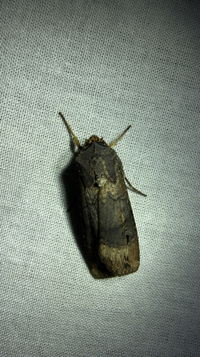
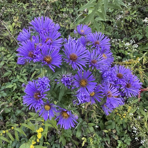
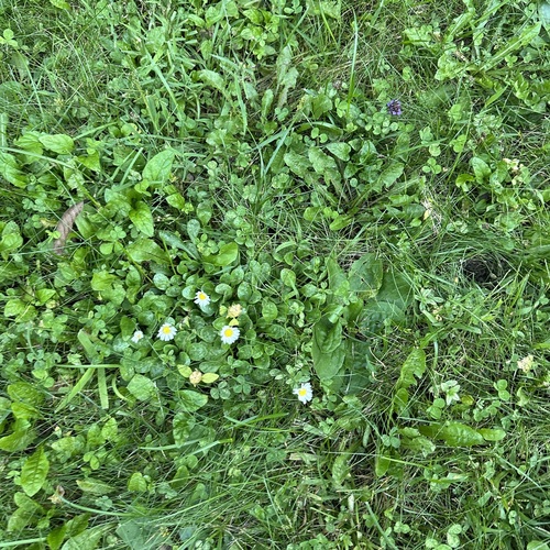
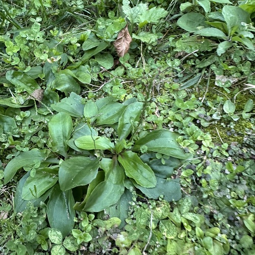


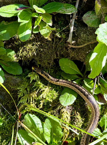
Research-grade observations from iNaturalist (within ~15 mi).
Nearest stream gauge
Events
Gallery
Sources
- • Wikipedia
- • US Census Bureau (ACS 5-year estimates)
- • NOAA National Weather Service
- • USGS Earthquake Catalog (global feed)
- • GBIF (Global Biodiversity Information Facility)
- • iNaturalist
- • CDC PLACES
- • Open-Elevation
- • Open-Meteo / sunrise-sunset.org
- • Wikipedia Pageviews API
- • Open Library