Browse / United States / New York / East Northport
East Northport
New YorkCDP

East Northport
Total population
19,700
Median home value
$623,800
Bachelor's+
Median income
$157,662
Demographic figures from US Census Bureau · ACS 5-year estimates. Overview below cites Wikipedia and may reference a different year.
City facts
Facts from Wikidata (CC0).
Overview
East Northport is a hamlet and census-designated place (CDP) located within the Town of Huntington in Suffolk County, on Long Island, New York, United States. The population was 20,048 at the time of the 2020 census.
Read more on WikipediaHistory & geography
History
Soon after the establishment of a village in the Huntington area, English settlers sought to further expand their territory. Two distinct communities formed in the area now known as East Northport. The more populous settlement known as Larkfield was located on the northern side, near Vernon Valley (now part of Northport). Larkfield originally developed near the location of Genola Cemetery, just north of the modern-day junction of Larkfield Road, Vernon Valley Road, and Laurel Road. A second community located on the southern side was known as Clay Pitts, named for its vast deposits of red clay. This clay, which had been used by Native Americans to form pottery, was used by the Europeans to form bricks for construction. The land between Larkfield and Clay Pitts was well suited for agriculture, and the region prospered in the late 18th century as a thriving farming community by supplying produce to markets in New York City and Brooklyn. However, just a few years later the LIRR decided to move the Northport station to a new location in Larkfield to facilitate further railway extension to Port Jefferson. The new railway station located at Larkfield Road and Bellerose Avenue opened on January 13, 1873. Although the station retained the name of Northport, train conductors would refer to it as "East of Northport", because the station was located east of the railway junction which used to direct trains north to the old station located in the Village of Northport. Despite the fact that East Northport is primarily south of Northport, the area became known thereafter as East Northport. In 1998, East Northport's United States Post Office building was renamed the Jerome Anthony Ambro, Jr. Post Office Building through a bill passed by the United States Congress, in honor of the…
Geography
According to the United States Census Bureau, the CDP has a total area of , all land.
Excerpted from the corresponding Wikipedia article (CC BY-SA).
Demographics & economy
Race & ethnicity
Source: US Census Bureau — American Community Survey, 5-year estimates.
Geography
Coordinates & boundaries from the US Census TIGER/Line shapefiles.
Climate
Current forecast
Forecast for East Northport, NY from NOAA NWS API.
Air quality
Industrial & pollution facilities
Natural hazard risk
Health (adults)
Age-adjusted prevalence estimates from CDC PLACES (latest release).
Walkability
Amenities nearby
Wildlife & biodiversity
Schools
Largest nearby schools
- BRENTWOOD HIGH SCHOOLHigh · BRENTWOOD · 4,641 students · 14.1:1 ratio
- CENTRAL ISLIP SENIOR HIGH SCHOOLHigh · CENTRAL ISLIP · 2,576 students · 17.5:1 ratio
- WALT WHITMAN HIGH SCHOOLHigh · HUNTINGTON STATION · 1,991 students · 12.8:1 ratio
- COMMACK HIGH SCHOOLHigh · COMMACK · 1,861 students · 12.7:1 ratio
- NORTHPORT SENIOR HIGH SCHOOLHigh · NORTHPORT · 1,645 students · 10.8:1 ratio
- SMITHTOWN HIGH SCHOOL EASTHigh · SAINT JAMES · 1,475 students · 11.7:1 ratio
- HALF HOLLOW HILLS HIGH SCHOOL EASTHigh · DIX HILLS · 1,473 students · 10.2:1 ratio
- HUNTINGTON HIGH SCHOOLHigh · HUNTINGTON · 1,410 students · 11.8:1 ratio
Public K–12 schools within ~10 mi from Urban Institute Education Data Portal (NCES Common Core of Data, 2022).
Earthquake history
Photos
Sights & places nearby
Notable people from here


People born within ~10 km, from Wikidata (CC0). Click any name for their Wikipedia article.
Nearby places in New York
Geography & sun
Elevation, sunrise/sunset and daylight from Open-Meteo. Solar climatology from NASA POWER.
Nearby airports
Public attention
Pageview totals from the Wikimedia Pageviews API.
Books about East Northport
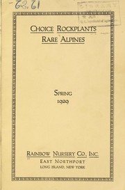

Search results from Open Library.
Recent natural events nearby
Ground air-quality sensors
Recently spotted species
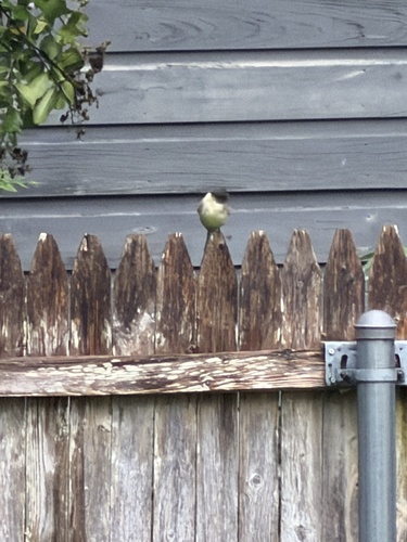
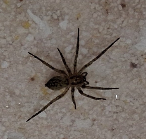



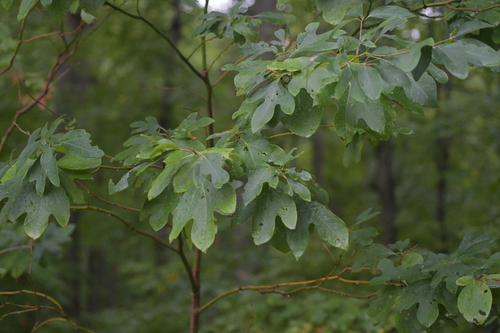


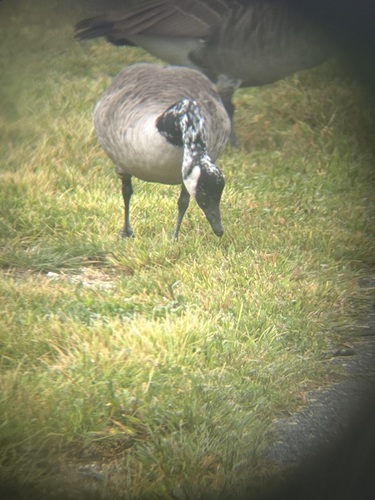
Research-grade observations from iNaturalist (within ~15 mi).
Nearest stream gauge
Events
Gallery
Sources
- • Wikipedia
- • US Census Bureau (ACS 5-year estimates)
- • NOAA National Weather Service
- • Wikidata
- • NCES via Urban Institute Education Data Portal
- • iNaturalist
- • CDC PLACES
- • Open-Meteo / sunrise-sunset.org
- • Wikipedia Pageviews API
- • Open Library