Browse / United States / New York / Elba
Elba
New Yorkvillage

Elba
Total population
485
Median home value
$143,300
Bachelor's+
Median income
$65,625
Demographic figures from US Census Bureau · ACS 5-year estimates. Overview below cites Wikipedia and may reference a different year.
City facts
Facts from Wikidata (CC0).
Overview
Elba is a town in Genesee County, New York, United States. The population was 2,164 at the 2020 census, down from 2,370 in 2010. The town is at the northern border of the county and is north of the city of Batavia. The town contains the village of Elba, located near the town's center.
Read more on WikipediaHistory & geography
History
The area was first settled in 1803. The town of Elba was established in 1820, from a partition of the town of Batavia. In 1842, part of Elba was used to form the town of Oakfield. In 1884, the community of Elba set itself off from the town by incorporating as a village. In 1948, Harry S. Truman in an off handed comment referred to Elba as "Smell-ba" during his "Whistle-stop" tour because of the smell coming from the muck fields during the onion growing season. It was later proven as a fact in 1949 that the Elba muck fields do produce a distinctive odor. On July 27, 1949, Secretary of Agriculture Charles F. Brannan responded a team to the farming community and found that the soil samples, combined with the air quality, and wind breakage created a distinctive smell in the community.
Geography
According to the United States Census Bureau, the town has a total area of 35.7 square miles (92.5 km2), all land. The north town line is the border of Orleans County (town of Barre). Part of the Alabama Swamp is in the northwest corner of the town, through which flows Oak Orchard Creek. North-South NYS 98 and east-west NYS 262 intersect in Elba village. USGS maps of the area name the section including Ridge Road as "Bulgary Ridge". Prior to more recent maps, in 1897 USGS maps, the area was called "Vulgary". Torrey Farms, one of the largest farms in New York, is located in the town of Elba.
Excerpted from the corresponding Wikipedia article (CC BY-SA).
Demographics & economy
Race & ethnicity
Source: US Census Bureau — American Community Survey, 5-year estimates.
Geography
Coordinates & boundaries from the US Census TIGER/Line shapefiles.
Climate
Air quality
Industrial & pollution facilities
Natural hazard risk
Health (adults)
Age-adjusted prevalence estimates from CDC PLACES (latest release).
Walkability
Amenities nearby
Wildlife & biodiversity
Most-observed species
- Red-winged BlackbirdAgelaius phoeniceus (Linnaeus, 1766) · Aves7,287
- Canada Goose (canadensis Group)Branta canadensis (Linnaeus, 1758) · Aves7,231
- American RobinTurdus migratorius Linnaeus, 1766 · Aves6,917
- Song SparrowMelospiza melodia (A.Wilson, 1810) · Aves6,468
- Northern CardinalCardinalis cardinalis (Linnaeus, 1758) · Aves6,402
- American CrowCorvus brachyrhynchos C.L.Brehm, 1822 · Aves6,146
- American GoldfinchSpinus tristis (Linnaeus, 1758) · Aves5,783
- Blue JayCyanocitta cristata (Linnaeus, 1758) · Aves5,463
Citizen-science & research observations from the Global Biodiversity Information Facility (GBIF).
Schools
Largest nearby schools
- BATAVIA HIGH SCHOOLHigh · BATAVIA · 645 students · 11.1:1 ratio
- BATAVIA MIDDLE SCHOOLMiddle · BATAVIA · 595 students · 8.3:1 ratio
- JOHN KENNEDY SCHOOLElementary · BATAVIA · 481 students · 9.4:1 ratio
- BYRON-BERGEN JUNIOR/SENIOR HIGH SCHOOLHigh · BERGEN · 434 students · 9:1 ratio
- JACKSON SCHOOLElementary · BATAVIA · 418 students · 9.5:1 ratio
- BYRON-BERGEN ELEMENTARY SCHOOLElementary · BERGEN · 410 students · 10.8:1 ratio
- OAKFIELD-ALABAMA MIDDLE SCHOOL HIGH SCHOOLHigh · OAKFIELD · 385 students · 8.4:1 ratio
- OAKFIELD-ALABAMA ELEMENTARY SCHOOLElementary · OAKFIELD · 351 students · 9.2:1 ratio
Public K–12 schools within ~10 mi from Urban Institute Education Data Portal (NCES Common Core of Data, 2022).
Earthquake history
Most recent
- M 3.8 — 2023-02-061 km NE of West Seneca, New York
- M 2.6 — 2022-03-155 km SSW of Warsaw, New York
- M 2.6 — 2020-03-2911 km N of Lyndonville, New York
- M 3 — 2018-05-0814 km SSE of Ajax, Canada
- M 2.52 — 2017-07-1111 km NNW of Barker, New York
- M 2.46 — 2014-02-1334 km N of Lyndonville, New York
Events from the USGS Earthquake Catalog (global) (FDSN Event Web Service).
Photos
Sights & places nearby
Notable people from here
Nearby places in New York
- Oakfield4.2 mi away
- Medina14.1 mi away · pop. 5,770
- Churchville15.6 mi away
- Brockport15.7 mi away · pop. 7,277
- Gasport21.4 mi away
- Clarence21.7 mi away · pop. 2,673
- Hilton24.8 mi away · pop. 5,968
- Avon25.1 mi away · pop. 3,417
- North Gates25.2 mi away
- Barker25.3 mi away · pop. 590
- Cuylerville26.1 mi away · pop. 293
- Greece26.2 mi away
Geography & sun
Elevation, sunrise/sunset and daylight from Open-Meteo. Solar climatology from NASA POWER.
Nearby airports
Public attention
Pageview totals from the Wikimedia Pageviews API.
Books about Elba

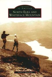


Search results from Open Library.
Recent natural events nearby
Ground air-quality sensors
Recently spotted species
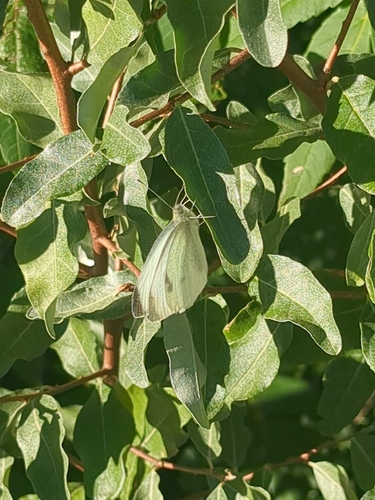
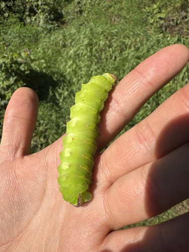
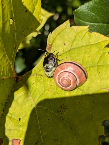



Research-grade observations from iNaturalist (within ~15 mi).
Nearest stream gauge
Events
Gallery
Sources
- • Wikipedia
- • US Census Bureau (ACS 5-year estimates)
- • Wikidata
- • USGS Earthquake Catalog (global feed)
- • NCES via Urban Institute Education Data Portal
- • GBIF (Global Biodiversity Information Facility)
- • iNaturalist
- • CDC PLACES
- • Open-Meteo / sunrise-sunset.org
- • Wikipedia Pageviews API
- • Open Library