Browse / United States / New York / Elbridge
Elbridge
New Yorkvillage

Elbridge
Total population
1,224
Median home value
$160,200
Bachelor's+
Median income
$64,462
Founded
1829
Demographic figures from US Census Bureau · ACS 5-year estimates. Overview below cites Wikipedia and may reference a different year.
City facts
Facts from Wikidata (CC0).
Overview
Elbridge is a town in Onondaga County, New York, United States. As of the 2020 Census, the population was 5,476. The town is named after Elbridge Gerry, the fifth Vice President of the United States, and one of the signers of the Declaration of Independence.
Read more on WikipediaHistory & geography
History
Elbridge was part of Military Township No. 5 (Camillus) created following the American Revolution and given to veterans in lieu of payment for service during the War for Independence. This tract comprised most of present-day Camillus and all of Van Buren and Marcellus in what is now the County of Onondaga in Central New York's Finger Lakes Region. The Town of Elbridge was formed in 1829 from the Town of Camillus. The Town of Elbridge includes two incorporated villages: the Village of Elbridge (incorporated in 1848) and the Village of Jordan (incorporated in 1835). An 1896 article from Onondaga's Centennial by Dwight H. Bruce describes the area as "a densely wooded wilderness, frequented by Indians and inhabited by bears, wolves and other beasts of the forest and could not have presented an appearance other than of gloomy waste." It can be assumed that neither the Natives nor the incoming settlers necessarily agreed with Bruce's negative assessment. Before the arrival of the white settlers, the native presence was prevalent and sustained. The Onondaga ("People of the Hill") of the Iroquois Nation had several fortified settlements in the area. The largest still exists on the Seneca River in what is now known as Jack's Reef. In fact, according to some legends, Cross Lake, which forms the northern boundary of the town, was the home of the historical Hiawatha. In 1791, government surveyor Josiah Buck arrived to map the area. Two years later he returned with his family to become the first Anglo-European settler. Buck was followed in short order by Captain William Stevens, his wife and six children. Town historians believe it is probable that Captain Stevens named the town after Massachusetts Governor Elbridge Gerry, who participated with Stevens in the Boston Tea Party…
Geography
According to the United States Census Bureau, the town has a total area of 38.3 square miles (99.2 km2), of which, 37.6 square miles (97.3 km2) of it is land and 0.7 square miles (1.8 km2) of it (1.85%) is water. The west town line is the border of Cayuga County. The Erie Canal/Seneca River system defines part of the north border of the town. The New York State Thruway (Interstate 90) crosses the north part of the town. New York State Route 317 is a north–south highway in Elbridge. New York State Route 5, in the south, and New York State Route 31, in the north, are east–west highways in the town. New York State Route 321 crosses the southeast part of Elbridge.
Excerpted from the corresponding Wikipedia article (CC BY-SA).
Demographics & economy
Race & ethnicity
Source: US Census Bureau — American Community Survey, 5-year estimates.
Geography
Coordinates & boundaries from the US Census TIGER/Line shapefiles.
Climate
Current forecast
Forecast for Elbridge, NY from NOAA NWS API.
Air quality
Industrial & pollution facilities
Natural hazard risk
Health (adults)
Walkability
Amenities nearby
Wildlife & biodiversity
Schools
Earthquake history
Photos
Sights & places nearby
Notable people from here


People born within ~10 km, from Wikidata (CC0). Click any name for their Wikipedia article.
Nearby places in New York
Geography & sun
Elevation, sunrise/sunset and daylight from Open-Meteo. Solar climatology from NASA POWER.
Nearby airports
Public attention
Pageview totals from the Wikimedia Pageviews API.
Books about Elbridge



Search results from Open Library.
Recent natural events nearby
Ground air-quality sensors
Recently spotted species
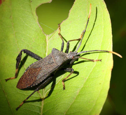
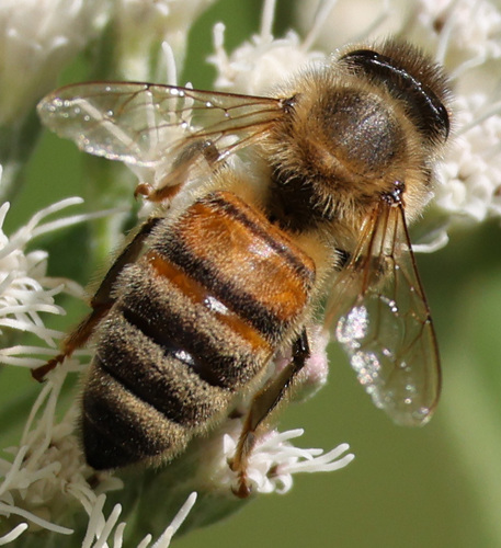
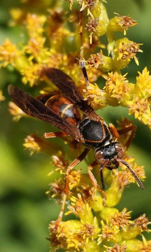
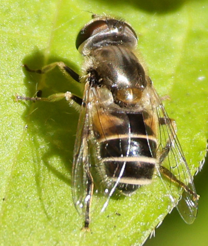
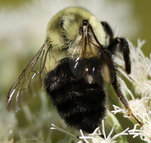
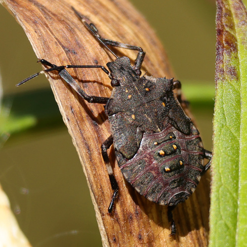
Research-grade observations from iNaturalist (within ~15 mi).
Nearest stream gauge
Events
Gallery
Sources
- • Wikipedia
- • US Census Bureau (ACS 5-year estimates)
- • NOAA National Weather Service
- • Wikidata
- • iNaturalist
- • Open-Meteo / sunrise-sunset.org
- • Wikipedia Pageviews API
- • Open Library