Browse / United States / New York / Flower Hill
Flower Hill
New Yorkvillage

Flower Hill
Total population
4,803
Median home value
$1,975,500
Bachelor's+
Median income
$250,001
Founded
1931
Demographic figures from US Census Bureau · ACS 5-year estimates. Overview below cites Wikipedia and may reference a different year.
City facts
Facts from Wikidata (CC0).
Overview
Flower Hill is a village in Nassau County, on the North Shore of Long Island, in New York, United States. The eastern half is considered part of the Greater Roslyn area, which is anchored by the Incorporated Village of Roslyn. Western and northern parts are more closely associated with Manhasset and Port Washington. The population was 4,794 at the time of the 2020 census.
Read more on WikipediaHistory & geography
History
The location of what is today Flower Hill was originally inhabited by Matinecock Native Americans. In the 17th century, Dutch and English colonists began to settle the area. Members of the family settled in the area during this time, and constructed the former Hewlett Homestead circa 1713. During this time, the area consisted of many farms, and was in an ideal location for them, as the goods produced in the area would be brought down to either Manhasset Bay in Manhasset or Port Washington, or to Hempstead Harbor in Roslyn for shipment to destinations in New York City and beyond. At this time, the heart of Flower Hill was located where modern-day Port Washington Boulevard, Bonnie Heights Road, and Country Club Drive intersect. The two lines intersected at a junction located at the intersection of Middle Neck Road and Northern Boulevard. Upon hearing these rumors, residents of Flower Hill feared that the Flower Hill area would be placed within the boundaries of the proposed City of Greater Port Washington if those plans were ultimately to be approved. As a result, the residents of Flower Hill saw a need to incorporate the locality as a village, in order to prevent the area from becoming part of the rumored city. Carlos Munson was originally selected to serve as its first Mayor but turned down the position, which was subsequently given to Arthur G. Elvin. When founded, the population of Flower Hill was 288. The first village meeting took place in Carlos Munson's real estate office; Village Hall now occupies this parcel of land. One of the most notable, early developments constructed during this period is the majority of the Flower Hill Estates development, which was built by Walter Uhl. Work on the development began along Country Club Drive – in the vicinity of the…
Geography
According to the United States Census Bureau, the village has a total area of , all land. Additionally, Flower Hill is located on the southern portion of the Cow Neck Peninsula. At 40º48' N, Flower Hill is located at roughly the same latitude as Canton, Ohio, Lincoln, Nebraska, Madrid, Spain, Aomori, Japan, Goshogawara, Japan, and Naples, Italy. Like the rest of Long Island's North Shore, Flower Hill is situated on a terminal moraine, known as the Harbor Hill Moraine. This moraine was formed by glaciers during the Wisconsin Glacial Episode, and is named for Harbor Hill in Roslyn; Harbor Hill is the highest geographic point in Nassau County. The highest point in Flower Hill is on Ridge Drive East, at . The lowest point is Hempstead Harbor, which is at sea level. Both the highest and lowest points in Flower Hill are within the portion of the village served by the Roslyn Post Office. Flower Hill is split among three minor drainage areas: Inner Hempstead Harbor (part of the Hempstead Harbor Watershed), Leeds Pond, and Whitney Pond (both of which are part of the Manhasset Bay Watershed). Furthermore, the village, as a whole, is located within the larger Long Island Sound/Atlantic Ocean Watershed. Accordingly, the village experiences hot, humid summers and cold winters, and experiences precipitation throughout the entirety of the year. According to the United States Department of Agriculture (USDA), Flower Hill is located within hardiness zone 7b.
Excerpted from the corresponding Wikipedia article (CC BY-SA).
Demographics & economy
Race & ethnicity
Source: US Census Bureau — American Community Survey, 5-year estimates.
Geography
Coordinates & boundaries from the US Census TIGER/Line shapefiles.
Climate
Current forecast
Forecast for Flower Hill, NY from NOAA NWS API.
Air quality
Industrial & pollution facilities
Natural hazard risk
Health (adults)
Age-adjusted prevalence estimates from CDC PLACES (latest release).
Walkability
Amenities nearby
Wildlife & biodiversity
Most-observed species
- American RobinTurdus migratorius Linnaeus, 1766 · Aves59,081
- Northern CardinalCardinalis cardinalis (Linnaeus, 1758) · Aves55,478
- Blue JayCyanocitta cristata (Linnaeus, 1758) · Aves54,474
- Mourning DoveZenaida macroura (Linnaeus, 1758) · Aves52,751
- House SparrowPasser domesticus (Linnaeus, 1758) · Aves48,409
- European StarlingSturnus vulgaris Linnaeus, 1758 · Aves44,890
- Song SparrowMelospiza melodia (A.Wilson, 1810) · Aves43,030
- Red-bellied WoodpeckerMelanerpes carolinus (Linnaeus, 1758) · Aves40,440
Citizen-science & research observations from the Global Biodiversity Information Facility (GBIF).
Schools
Largest nearby schools
- UNIONDALE HIGH SCHOOLHigh · UNIONDALE · 2,080 students · 11.6:1 ratio
- ACADEMY CHARTER SCHOOLOther · HEMPSTEAD · 1,880 students · 17.1:1 ratio
- HEMPSTEAD HIGH SCHOOLHigh · HEMPSTEAD · 1,866 students · 23.6:1 ratio
- HICKSVILLE HIGH SCHOOLHigh · HICKSVILLE · 1,852 students · 13:1 ratio
- NEW HYDE PARK MEMORIAL HIGH SCHOOLHigh · NEW HYDE PARK · 1,727 students · 13.7:1 ratio
- NASSAU BOCESOther · GARDEN CITY · 1,712 students · 4.4:1 ratio
- SEWANHAKA HIGH SCHOOLHigh · FLORAL PARK · 1,637 students · 11.8:1 ratio
- PAUL D SCHREIBER SENIOR HIGH SCHOOLHigh · PORT WASHINGTON · 1,613 students · 12.8:1 ratio
Public K–12 schools within ~10 mi from Urban Institute Education Data Portal (NCES Common Core of Data, 2022).
Earthquake history
Most recent
- M 2.8 — 2025-08-051 km N of Hillsdale, New Jersey
- M 3 — 2025-08-030 km W of Little Ferry, New Jersey
- M 2.9 — 2024-05-246 km E of Califon, New Jersey
- M 2.6 — 2024-05-011 km NW of Gladstone, New Jersey
- M 2.9 — 2024-04-277 km WSW of Gladstone, New Jersey
- M 2.6 — 2024-04-105 km WSW of Gladstone, New Jersey
Events from the USGS Earthquake Catalog (global) (FDSN Event Web Service).
Photos
Sights & places nearby
Notable people from here
Nearby places in New York
Geography & sun
Elevation, sunrise/sunset and daylight from Open-Meteo. Solar climatology from NASA POWER.
Nearby airports
Public attention
Pageview totals from the Wikimedia Pageviews API.
Books about Flower Hill




Search results from Open Library.
Recent natural events nearby
Ground air-quality sensors
Recently spotted species
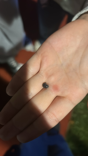
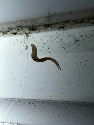
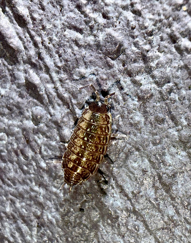
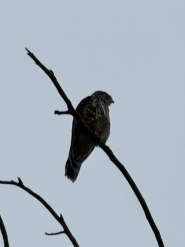
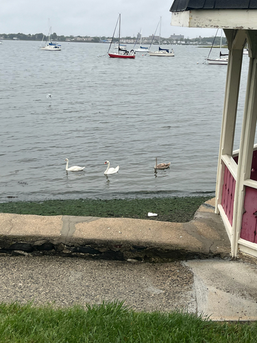
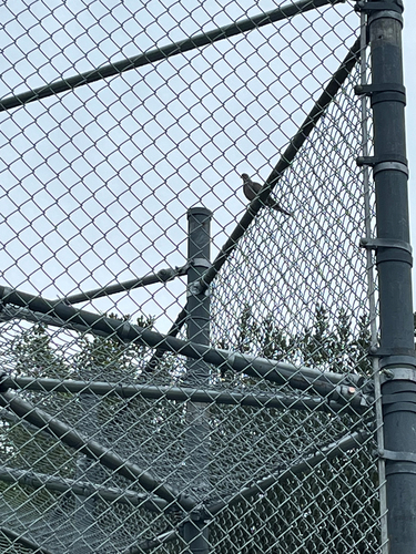
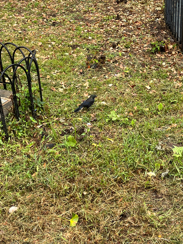
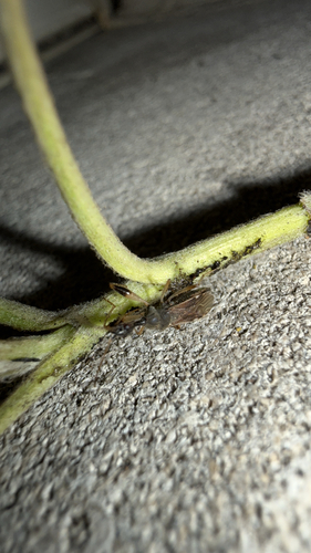
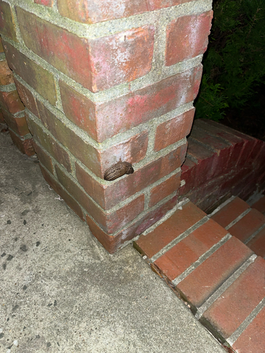
Research-grade observations from iNaturalist (within ~15 mi).
Nearest stream gauge
Live readings from USGS NWIS · measured 2026-09-21 08:00 UTC.
Events
Gallery
Sources
- • Wikipedia
- • US Census Bureau (ACS 5-year estimates)
- • NOAA National Weather Service
- • Wikidata
- • USGS Earthquake Catalog (global feed)
- • USGS NWIS (water data)
- • NCES via Urban Institute Education Data Portal
- • GBIF (Global Biodiversity Information Facility)
- • iNaturalist
- • CDC PLACES
- • Open-Meteo / sunrise-sunset.org
- • Wikipedia Pageviews API
- • Open Library