Browse / United States / New York / Johnstown
Johnstown
New Yorkcity

Johnstown
Total population
8,111
Median home value
$157,800
Bachelor's+
Median income
$63,763
Demographic figures from US Census Bureau · ACS 5-year estimates. Overview below cites Wikipedia and may reference a different year.
City facts
Overview
Johnstown is a city in and the county seat of Fulton County in the U.S. state of New York. The city was named after its colonial founder, Sir William Johnson, Superintendent of Indian Affairs for Britain in the Province of New York and a major general during the Seven Years' War in North America. It is located approximately 45 miles (72 km) northwest of Albany, about one-third of the way between Albany and the Finger Lakes region to the west, in the Mohawk Valley region, within the foothills of the Adirondack Mountains.
Read more on WikipediaHistory & geography
History
The Irishman William Johnson came to the Province of New York from Ireland in 1738. Johnson was a trader who learned Indigenous languages and culture and formed close relationships with many Native American leaders, especially those of the Mohawk and other members of the Iroquois Confederacy. Johnson made use of his alliances and influence with the Iroquois on behalf of the British during the French and Indian War, in which he was a major general. He helped Great Britain defeat France and take over control of certain territories in North America. After the war, when control of all of Canada passed to Britain, Johnson was appointed Superintendent of Northern Indians, and took charge of all British government relations with the Native American nations bordering the Great Lakes and the colonies of New York and Pennsylvania. As a reward for his services, Johnson received large tracts of land in what are now Hamilton and Fulton counties in New York. Johnson established Johnstown and became one of New York's most prosperous and influential citizens. Johnson was the largest landowner in the Mohawk Valley, with an estate of more than before his death. Having begun as an Indian trader, Johnson expanded his business interests to include a sawmill and lumber business and a flour mill that served the area. Johnson, the largest enslaver in the county and perhaps in the state of New York, enslaved some 60 Africans to labor for these businesses. He also recruited many Scottish Highlander and Irish tenant farmers to work his lands. Observing Johnson's successful business endeavors, the local Native American inhabitants dubbed him Warragghivage, or "he who does much business." Johnson founded the village of Johnstown – originally "John's Town" – in 1762, naming it…
Geography
Johnstown is located along the southern edge of Fulton County, in the picturesque Mohawk Valley of upstate New York. It is slightly north of the route developed for the Erie Canal through what is now Montgomery County. Although not a hilltown, Johnstown is close to the Adirondack Mountains that stretch across the northern portion of Fulton County. It is near the southern border of the Adirondack Park. According to the United States Census Bureau, the city has a total area of , of which is land and , or 0.17%, is water. The city is bordered to the north, east, and west by the town of Johnstown, to the northeast by the city of Gloversville, and to the south by the town of Mohawk in Montgomery County. Cayadutta Creek, which runs through the city, provided water power needed to generate the electricity required by the various industries that grew up in Johnstown. The creek flows south to join the Mohawk River at Fonda. East-west highways, New York State Route 29 and New York State Route 67, intersect in the city and also cross the north-south highway New York State Route 30A. NY 29 leads east to Saratoga Springs and northwest to Rockwood. NY 67 leads southeast to Amsterdam and west to St. Johnsville. NY 30A leads northeast to Gloversville and to Mayfield, as well as south to Fonda and to the New York Thruway.
Excerpted from the corresponding Wikipedia article (CC BY-SA).
Demographics & economy
Race & ethnicity
Source: US Census Bureau — American Community Survey, 5-year estimates.
Geography
Coordinates & boundaries from the US Census TIGER/Line shapefiles.
Climate
Current forecast
Forecast for Johnstown, NY from NOAA NWS API.
Air quality
Industrial & pollution facilities
Natural hazard risk
Health (adults)
Age-adjusted prevalence estimates from CDC PLACES (latest release).
Walkability
Amenities nearby
Wildlife & biodiversity
Most-observed species
- American CrowCorvus brachyrhynchos C.L.Brehm, 1822 · Aves6,182
- Black-capped ChickadeePoecile atricapillus (Linnaeus, 1766) · Aves5,266
- American GoldfinchSpinus tristis (Linnaeus, 1758) · Aves5,264
- Northern CardinalCardinalis cardinalis (Linnaeus, 1758) · Aves5,217
- Blue JayCyanocitta cristata (Linnaeus, 1758) · Aves4,990
- American RobinTurdus migratorius Linnaeus, 1766 · Aves4,657
- Mourning DoveZenaida macroura (Linnaeus, 1758) · Aves4,197
- Song SparrowMelospiza melodia (A.Wilson, 1810) · Aves4,078
Citizen-science & research observations from the Global Biodiversity Information Facility (GBIF).
Schools
Earthquake history
Most recent
- M 3.1 — 2020-03-110 km SSW of South Glens Falls, New York
- M 2.79 — 2015-09-27New York
- M 2.76 — 2011-08-275 km WSW of Altamont, New York
- M 2.69 — 2011-08-255 km WSW of Altamont, New York
- M 3.15 — 2009-12-1315 km N of Medusa, New York
- M 2.56 — 2009-12-1314 km N of Medusa, New York
Events from the USGS Earthquake Catalog (global) (FDSN Event Web Service).
Photos
Sights & places nearby
Notable people from here


People born within ~10 km, from Wikidata (CC0). Click any name for their Wikipedia article.
Nearby places in New York
Geography & sun
Elevation, sunrise/sunset and daylight from Open-Meteo. Solar climatology from NASA POWER.
Nearby airports
Public attention
Pageview totals from the Wikimedia Pageviews API.
Books about Johnstown

Search results from Open Library.
Recent natural events nearby
Ground air-quality sensors
Recently spotted species
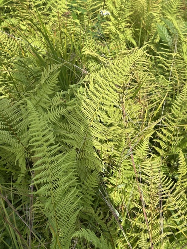
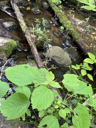
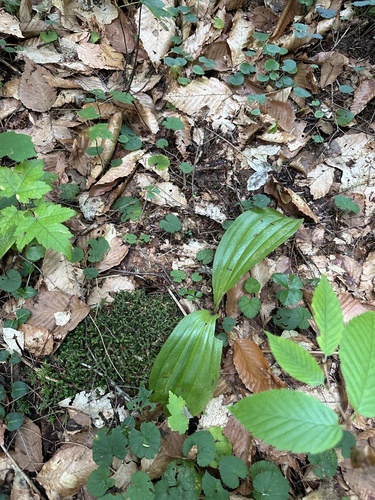
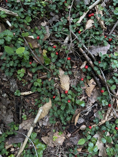
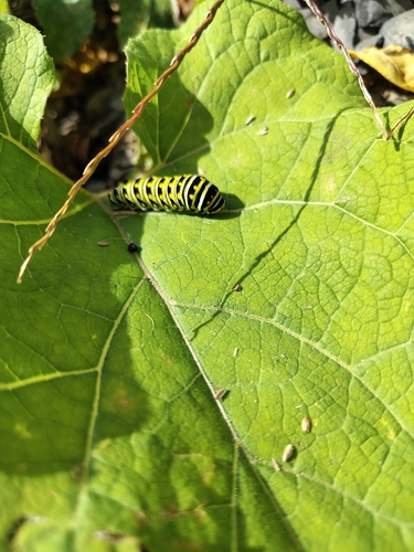
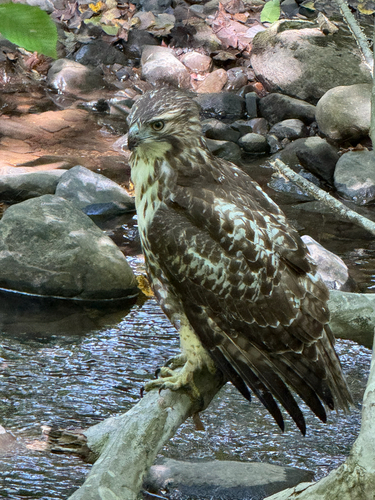
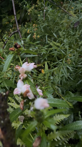
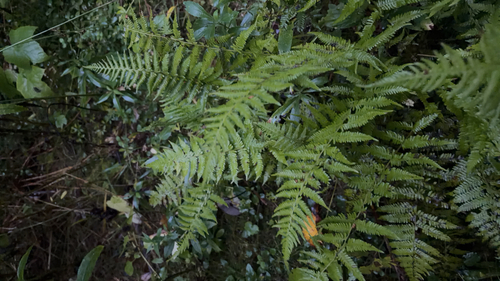
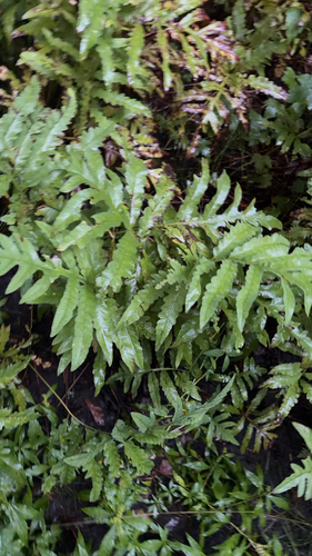
Research-grade observations from iNaturalist (within ~15 mi).
Nearest stream gauge
Events
Gallery
Sources
- • Wikipedia
- • US Census Bureau (ACS 5-year estimates)
- • NOAA National Weather Service
- • Wikidata
- • USGS Earthquake Catalog (global feed)
- • GBIF (Global Biodiversity Information Facility)
- • iNaturalist
- • CDC PLACES
- • Open-Meteo / sunrise-sunset.org
- • Wikipedia Pageviews API
- • Open Library