Browse / United States / New York / Mayfield
Mayfield
New Yorkvillage

Mayfield
Total population
1,099
Median home value
$189,400
Bachelor's+
Median income
$70,208
Demographic figures from US Census Bureau · ACS 5-year estimates. Overview below cites Wikipedia and may reference a different year.
City facts
Facts from Wikidata (CC0).
Overview
Mayfield is a town in Fulton County, New York, United States, northeast of Gloversville and Johnstown. The town contains a village also named Mayfield. The population of the town was 6,495 at the 2010 census.
Read more on WikipediaHistory & geography
History
The land that is now the town was formed by portions of several colonial land grants, including: The Mayfield Patent (1770); Col. Daniel Claus' Patent (1770); Cpt. Norman McLeod's Patent (1770); Lt Benjamin Roberts' Patent (1770); The Kingsborough Patent (1753); The Kayaderosseras Patent (1701); Sacondaga Patent (1741); Glen's Purchase (1770); the Glen, Bleecker, and Lansing Patent (1793); and Chase's Patent (1792). The first European settlements began under the authority of Sir William Johnson, 1st Baronet. His exploits as the British Superintendent of Indian Affairs acquainted him with the lands which were the territory of the Mohawk nation of the Iroquois Confederacy. A settlement known as Philadelphia Bush formed in the southern part of the present town in the early 1760s, and in the eastern part of the present town, settlement was simultaneously started in the basin of the Sacandaga Valley. A settlement on the Mayfield Patent began in 1772, and Johnson erected a grist mill on the Mayfield creek the following year or year after. The settlements were situated on the war path taken by Sir John Johnson and his Loyalist and Mohawk raiding forces during the Revolutionary War, which devastated the early pioneers. A fort, known as the Sacandaga Blockhouse, was erected in May 1779 to protect the remaining settlers from further raids. However, due to several attacks, the Mayfield area was mostly abandoned by the end of the war. The town was established in 1793 from the town of Caughnawaga in Montgomery County before the formation of Fulton County in 1838. It was one of the first three such towns formed, and was fully organized on April 1, 1794. Part of Mayfield was taken in 1805 to form the town of Wells (now in Hamilton County). An additional part of Mayfield was…
Geography
According to the United States Census Bureau, the town has a total area of , of which is land and , or 9.74%, is water. Mayfield is mostly within the Adirondack Park and is on the southwestern shore of Great Sacandaga Lake. New York State Route 30 is an important north–south highway in Mayfield. NY-30 intersects New York State Route 30A at Riceville. New York State Route 349 is an east–west highway in the southern part of the town. East–west highways New York State Route 29 and New York State Route 29A converge in the southern part of Mayfield, west of Vail Mills.
Excerpted from the corresponding Wikipedia article (CC BY-SA).
Demographics & economy
Race & ethnicity
Source: US Census Bureau — American Community Survey, 5-year estimates.
Geography
Coordinates & boundaries from the US Census TIGER/Line shapefiles.
Climate
Air quality
Industrial & pollution facilities
Natural hazard risk
Health (adults)
Walkability
Amenities nearby
Wildlife & biodiversity
Most-observed species
- American CrowCorvus brachyrhynchos C.L.Brehm, 1822 · Aves3,336
- Black-capped ChickadeePoecile atricapillus (Linnaeus, 1766) · Aves3,157
- Blue JayCyanocitta cristata (Linnaeus, 1758) · Aves2,834
- Northern CardinalCardinalis cardinalis (Linnaeus, 1758) · Aves2,491
- American GoldfinchSpinus tristis (Linnaeus, 1758) · Aves2,471
- American RobinTurdus migratorius Linnaeus, 1766 · Aves2,343
- Song SparrowMelospiza melodia (A.Wilson, 1810) · Aves2,082
- Tufted TitmouseBaeolophus bicolor (Linnaeus, 1766) · Aves1,970
Citizen-science & research observations from the Global Biodiversity Information Facility (GBIF).
Schools
Earthquake history
Most recent
- M 3.1 — 2020-03-110 km SSW of South Glens Falls, New York
- M 2.79 — 2015-09-27New York
- M 2.76 — 2011-08-275 km WSW of Altamont, New York
- M 2.69 — 2011-08-255 km WSW of Altamont, New York
- M 3.15 — 2009-12-1315 km N of Medusa, New York
- M 2.56 — 2009-12-1314 km N of Medusa, New York
Events from the USGS Earthquake Catalog (global) (FDSN Event Web Service).
Photos
Sights & places nearby
Notable people from here


People born within ~10 km, from Wikidata (CC0). Click any name for their Wikipedia article.
Nearby places in New York
Geography & sun
Elevation, sunrise/sunset and daylight from Open-Meteo. Solar climatology from NASA POWER.
Nearby airports
Public attention
Pageview totals from the Wikimedia Pageviews API.
Books about Mayfield




Search results from Open Library.
Recent natural events nearby
Ground air-quality sensors
Recently spotted species
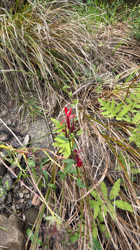
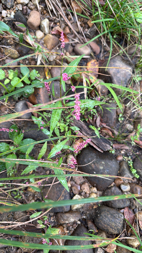
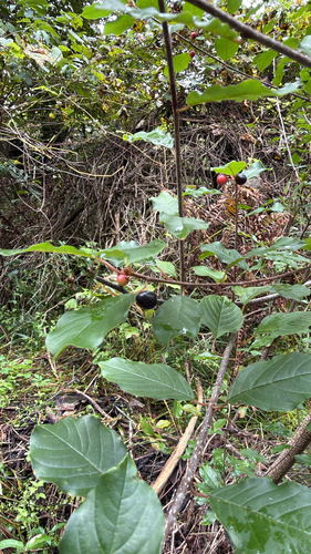

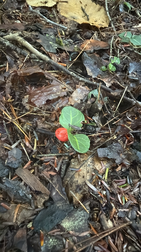

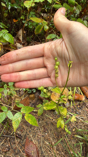
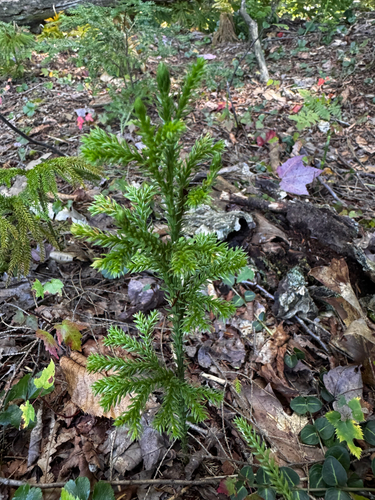
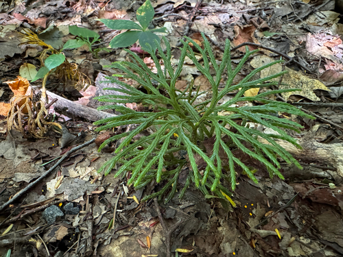
Research-grade observations from iNaturalist (within ~15 mi).
Nearest stream gauge
Events
Gallery
Sources
- • Wikipedia
- • US Census Bureau (ACS 5-year estimates)
- • Wikidata
- • USGS Earthquake Catalog (global feed)
- • GBIF (Global Biodiversity Information Facility)
- • iNaturalist
- • Open-Meteo / sunrise-sunset.org
- • Wikipedia Pageviews API
- • Open Library