Browse / United States / New York / Millerton
Millerton
New Yorkvillage

Millerton
Total population
851
Median home value
$240,800
Bachelor's+
Median income
$83,090
Demographic figures from US Census Bureau · ACS 5-year estimates. Overview below cites Wikipedia and may reference a different year.
City facts
Facts from Wikidata (CC0).
Overview
Millerton is a village in Dutchess County, New York, United States with a population of 903 at the 2020 census. The village was named after Sidney Miller, a rail contractor who helped bring the railroad to that area.
Read more on WikipediaHistory & geography
History
The community of Millerton formed after 1851, and the village was incorporated in 1875. The Millerton Iron Company established itself nearby in an area known as Irondale and was served by a telegraph address in Millerton. The foundry had two Cooper hot blast stoves and produced car-wheel pig iron (cast iron for railcar wheels) with a 12,000 ton capacity in 1890. The plant was established in 1854 and by 1882 employed approximately 150 people. Irondale was served by a general store, a company owned grist mill, and a post office. A historical marker commemorates the Irondale Cemetery (List of New York State Historic Markers in Dutchess County, New York). Millerton's history was explored in the 2011 New York Times article "Williamsburg on the Hudson" from the perspective of a lifelong-citizen, Phil Terni, who had lived in Millerton for more than 65 years. Terni described the Millerton of its early, prosperous period as "an agricultural crossroads with three hotels served by three railroads," and characterized the more recently revived Millerton as "a rural village with urban influences from nearby towns and boroughs,” as exemplified by the vibrant arts, culture, and new small businesses along U.S. Route 44.
Geography
Millerton is located in northeastern Dutchess County. According to the United States Census Bureau, the village has a total area of , of which , or 0.50%, is water. }}
Excerpted from the corresponding Wikipedia article (CC BY-SA).
Demographics & economy
Race & ethnicity
Source: US Census Bureau — American Community Survey, 5-year estimates.
Geography
Coordinates & boundaries from the US Census TIGER/Line shapefiles.
Climate
Current forecast
Forecast for Millerton, NY from NOAA NWS API.
Air quality
Industrial & pollution facilities
Natural hazard risk
Health (adults)
Age-adjusted prevalence estimates from CDC PLACES (latest release).
Walkability
Amenities nearby
Wildlife & biodiversity
Schools
Largest nearby schools
- STISSING MOUNTAIN JUNIOR/SENIOR HIGH SCHOOLHigh · PINE PLAINS · 460 students · 8.5:1 ratio
- EUGENE BROOKS INTERMEDIATE SCHOOLMiddle · AMENIA · 226 students · 7.8:1 ratio
- WEBUTUCK ELEMENTARY SCHOOLElementary · AMENIA · 221 students · 13.8:1 ratio
- SEYMOUR SMITH INTERMEDIATE LEARNING CENTERElementary · PINE PLAINS · 201 students · 10.1:1 ratio
- WEBUTUCK HIGH SCHOOLHigh · AMENIA · 195 students · 9.8:1 ratio
Public K–12 schools within ~10 mi from Urban Institute Education Data Portal (NCES Common Core of Data, 2022).
Earthquake history
Photos
Sights & places nearby
Notable people from here
Nearby places in New York
- Amenia7.7 mi away
- Copake Falls11.4 mi away
- Copake Lake13.9 mi away · pop. 784
- Bard College20.9 mi away · pop. 1,130
- Barrytown21.4 mi away · pop. 135
- Claverack-Red Mills21.8 mi away
- Germantown22.9 mi away
- Glasco23.1 mi away · pop. 2,210
- East Kingston23.7 mi away · pop. 227
- Malden-on-Hudson23.7 mi away
- Cementon24.3 mi away · pop. 216
- MacDonnell Heights24.3 mi away
Geography & sun
Elevation, sunrise/sunset and daylight from Open-Meteo. Solar climatology from NASA POWER.
Nearby airports
Public attention
Pageview totals from the Wikimedia Pageviews API.
Books about Millerton



Search results from Open Library.
Recent natural events nearby
Ground air-quality sensors
Recently spotted species
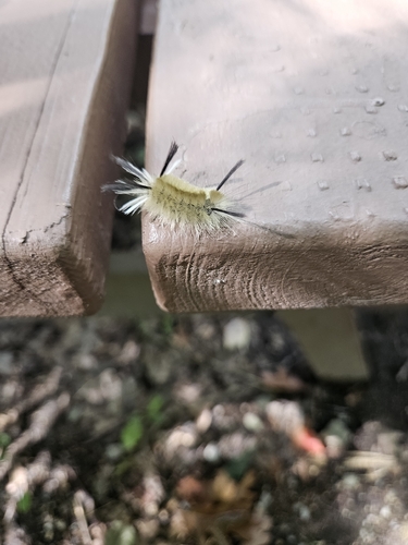
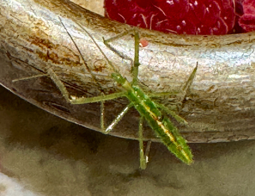
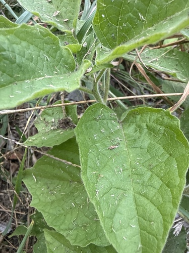
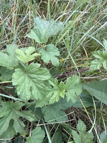
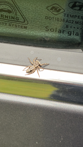
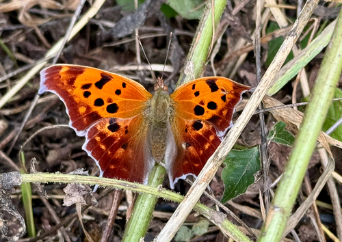
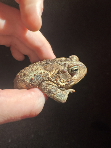
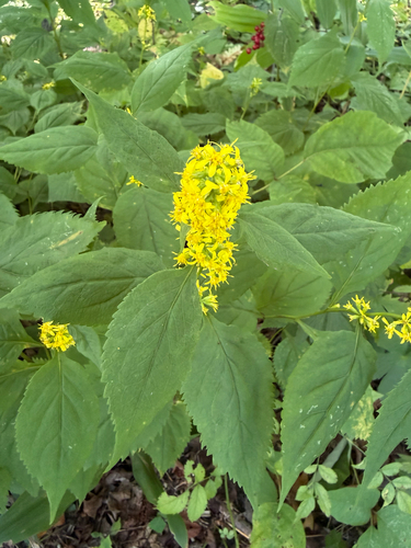
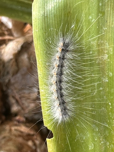
Research-grade observations from iNaturalist (within ~15 mi).
Nearest stream gauge
Events
Gallery
Sources
- • Wikipedia
- • US Census Bureau (ACS 5-year estimates)
- • NOAA National Weather Service
- • Wikidata
- • NCES via Urban Institute Education Data Portal
- • iNaturalist
- • CDC PLACES
- • Open-Meteo / sunrise-sunset.org
- • Wikipedia Pageviews API
- • Open Library