Browse / United States / New York / Niagara Falls
Niagara Falls
New Yorkcity

Niagara Falls
Total population
47,987
Median home value
$115,300
Bachelor's+
Median income
$49,101
Air quality index
Demographic figures from US Census Bureau · ACS 5-year estimates. Overview below cites Wikipedia and may reference a different year.
City facts
Facts from Wikidata (CC0).
Overview
Niagara Falls is a city in Niagara County, New York, United States. As of the 2020 census, the city had a total population of 48,671. It is adjacent to the Niagara River, across from the city of Niagara Falls, Ontario, and named after the famed Niagara Falls which they share. The city is within the Buffalo–Niagara Falls metropolitan area and the Western New York region.
Read more on WikipediaHistory & geography
History
Before Europeans entered the area, it was dominated by the Neutral Nation of Native Americans. European migration into the area began in the 17th century. The first recorded European to visit the area was Frenchman Robert de la Salle, who built Fort Conti at the mouth of the Niagara River early in 1679, with permission from the Iroquois, as a base for boatbuilding; his ship Le Griffon was built on the upper Niagara River at or near Cayuga Creek in the same year. He was accompanied by Belgian priest Louis Hennepin, who was the first known European to see the falls. The influx of newcomers may have been a catalyst for already hostile native tribes to turn to open warfare in competition for the fur trade. The City of Niagara Falls was incorporated on March 17, 1892, from the villages of Manchester and Suspension Bridge, which were parts of the Town of Niagara. Thomas Vincent Welch, a member of the charter committee and a New York state assemblyman and a second-generation Irish American, persuaded Governor Roswell P. Flower to sign the bill on Saint Patrick's Day. George W. Wright was elected the first mayor of Niagara Falls. By the end of the 19th century, the city was heavily industrialized, due in part to the power potential offered by the Niagara River. Tourism was considered a secondary niche, while manufacturing of petrochemicals, abrasives, metallurgical products and other materials was the main producer of jobs and attracted a large number of workers, many of whom were immigrants. In 1927, the city annexed the village of La Salle, named for Robert de la Salle, from the Town of Niagara. Industry and tourism grew steadily throughout the first half of the 20th century due to a high demand for industrial products and the increased mobility of people to travel.…
Geography
Niagara Falls is at the international boundary between the United States and Canada. The city is within the Buffalo–Niagara Falls metropolitan area and is approximately from Buffalo, New York. The city has an area of , of which (83.43%) is land and (16.57%) is water. The city is built along the Niagara Falls and the Niagara Gorge, which is next to the Niagara River. Niagara Falls has a humid continental climate (Dfa/Dfb under the Köppen climate classification, Dca/Dcb under Trewartha). Different weather stations show that some parts of the city have a hemiboreal climate with average summer temperatures slightly under 22 °C, and others with a hot-summer continental climate with slightly hotter summers. The city has cold, snowy winters and very warm, humid summers. Precipitation is moderate and consistent in all seasons, falling equally or more as snow during the winter. The hottest and coldest temperatures recorded in the decade to 2015 were in 2005 and in 2003, respectively. * Buffalo Avenue – runs along the south end along the Niagara River once home to a vast number of old families with architecturally significant mansions; further east (past John Daly Boulevard) the street is surrounded by a number of industrial sites to 56th Street before returning to a residential area and ending at the Love Canal area at 102nd Street. * Central District * Deveaux – Located in the northwestern corner (west of the North End) along the Niagara River is residential area built in the 1920s to 1940s. Named for Judge Samuel DeVeaux who left his estate to be established as the Deveaux College for Orphans and Destitute Children in 1853 (closed 1971), now the site of DeVeaux Woods State Park and DeVeaux School Historical District. * Downtown – Area around the Falls and home to…
Excerpted from the corresponding Wikipedia article (CC BY-SA).
Demographics & economy
Race & ethnicity
Source: US Census Bureau — American Community Survey, 5-year estimates.
Geography
Coordinates & boundaries from the US Census TIGER/Line shapefiles.
Climate
Air quality
Current readings from Open-Meteo Air Quality API (Copernicus CAMS European reanalysis).
Industrial & pollution facilities
Natural hazard risk
Health (adults)
Age-adjusted prevalence estimates from CDC PLACES (latest release).
Walkability
Amenities nearby
Wildlife & biodiversity
Most-observed species
- Northern CardinalCardinalis cardinalis (Linnaeus, 1758) · Aves30,149
- American RobinTurdus migratorius Linnaeus, 1766 · Aves30,052
- Ring-billed GullLarus delawarensis Ord, 1815 · Aves29,484
- Blue JayCyanocitta cristata (Linnaeus, 1758) · Aves29,230
- Canada Goose (canadensis Group)Branta canadensis (Linnaeus, 1758) · Aves27,679
- House SparrowPasser domesticus (Linnaeus, 1758) · Aves24,679
- European StarlingSturnus vulgaris Linnaeus, 1758 · Aves23,347
- MallardAnas platyrhynchos Linnaeus, 1758 · Aves22,370
Citizen-science & research observations from the Global Biodiversity Information Facility (GBIF).
Schools
Largest nearby schools
- NIAGARA FALLS HIGH SCHOOLHigh · NIAGARA FALLS · 2,139 students · 16:1 ratio
- NIAGARA-WHEATFIELD SENIOR HIGH SCHOOLHigh · SANBORN · 1,092 students · 13:1 ratio
- NORTH TONAWANDA HIGH SCHOOLHigh · NORTH TONAWANDA · 1,001 students · 11.8:1 ratio
- EDWARD TOWN MIDDLE SCHOOLMiddle · SANBORN · 736 students · 12.1:1 ratio
- NORTH TONAWANDA INTERMEDIATE SCHOOLMiddle · NORTH TONAWANDA · 720 students · 11.6:1 ratio
- HARRY F ABATE ELEMENTARY SCHOOLElementary · NIAGARA FALLS · 695 students · 15.8:1 ratio
- LEWISTON PORTER SENIOR HIGH SCHOOLHigh · YOUNGSTOWN · 616 students · 13.7:1 ratio
- CATARACT ELEMENTARY SCHOOLElementary · NIAGARA FALLS · 531 students · 15.2:1 ratio
Public K–12 schools within ~10 mi from Urban Institute Education Data Portal (NCES Common Core of Data, 2022).
Earthquake history
Most recent
- M 3.8 — 2023-02-061 km NE of West Seneca, New York
- M 2.6 — 2022-03-155 km SSW of Warsaw, New York
- M 2.6 — 2020-03-2911 km N of Lyndonville, New York
- M 3 — 2018-05-0814 km SSE of Ajax, Canada
- M 2.52 — 2017-07-1111 km NNW of Barker, New York
- M 2.46 — 2014-02-1334 km N of Lyndonville, New York
Events from the USGS Earthquake Catalog (global) (FDSN Event Web Service).
Photos
Sights & places nearby
Notable people from here


People born within ~10 km, from Wikidata (CC0). Click any name for their Wikipedia article.
Nearby places in New York
- Niagara University3.2 mi away
- North Tonawanda7.8 mi away · pop. 30,496
- Ransomville11.4 mi away
- Lockport16.9 mi away · pop. 20,876
- Cheektowaga18.4 mi away · pop. 73,359
- Rapids18.7 mi away
- Newfane20.9 mi away
- Olcott22.2 mi away
- Blasdell22.5 mi away · pop. 2,549
- Clarence22.7 mi away · pop. 2,673
- Gasport22.7 mi away · pop. 1,212
- Orchard Park26.7 mi away
Geography & sun
Elevation, sunrise/sunset and daylight from Open-Meteo. Solar climatology from NASA POWER.
Nearby airports
Public attention
Pageview totals from the Wikimedia Pageviews API.
Books about Niagara Falls


Search results from Open Library.
Recent natural events nearby
Ground air-quality sensors
Recently spotted species
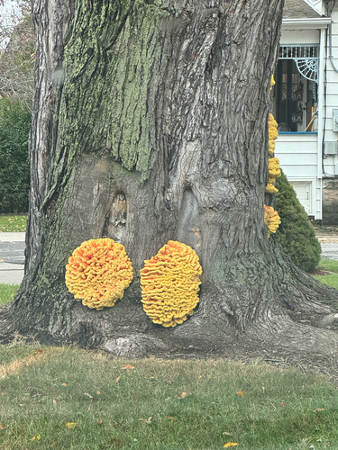

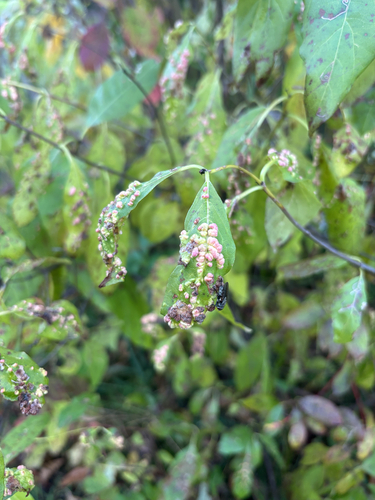
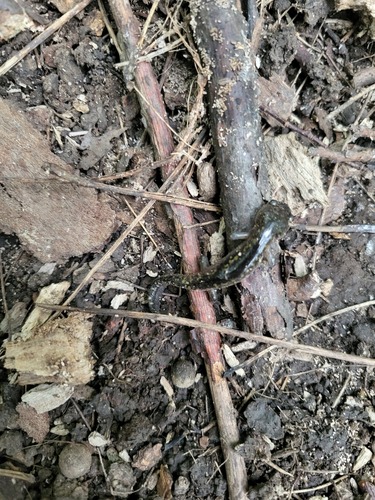
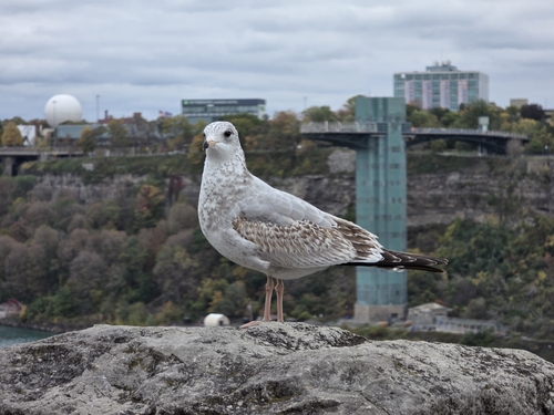
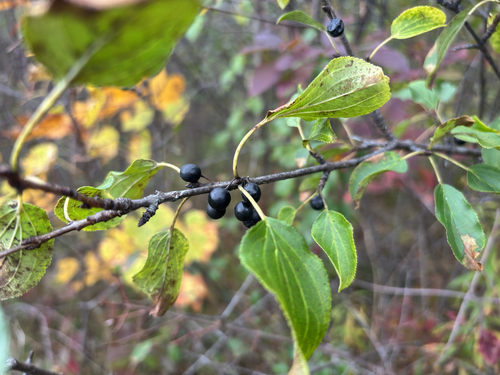
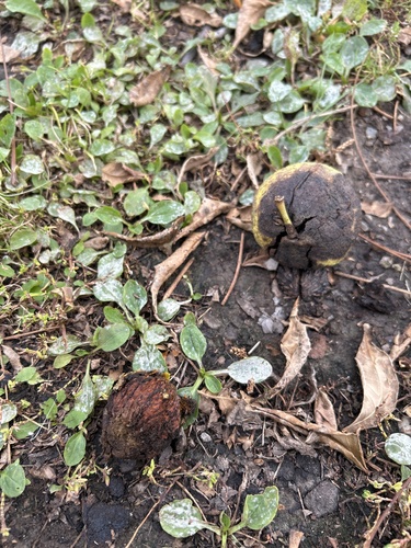
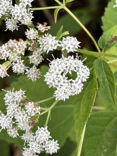
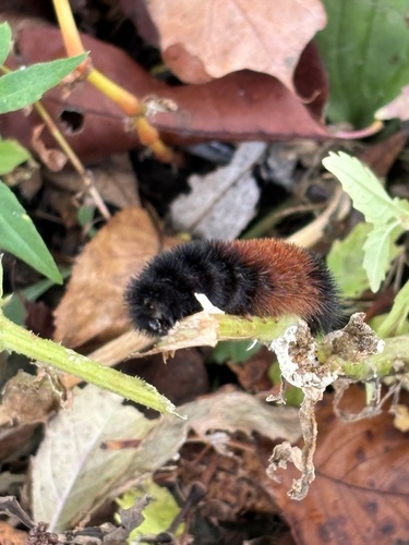
Research-grade observations from iNaturalist (within ~15 mi).
Nearest stream gauge
Events
Gallery
Sources
- • Wikipedia
- • US Census Bureau (ACS 5-year estimates)
- • Wikidata
- • Open-Meteo Air Quality (CAMS)
- • USGS Earthquake Catalog (global feed)
- • NCES via Urban Institute Education Data Portal
- • GBIF (Global Biodiversity Information Facility)
- • iNaturalist
- • CDC PLACES
- • Open-Meteo / sunrise-sunset.org
- • Wikipedia Pageviews API
- • Open Library