Browse / United States / New York / Oswego
Oswego
New Yorkcity

Oswego
Total population
17,033
Median home value
$120,600
Bachelor's+
Median income
$53,172
Founded
1796
Demographic figures from US Census Bureau · ACS 5-year estimates. Overview below cites Wikipedia and may reference a different year.
- Beach Hazards Statement · ModerateBeach Hazards Statement issued September 27 at 3:42PM EDT until September 28 at 4:00AM EDT by NWS Buffalo NY
Source: NOAA National Weather Service.
City facts
Facts from Wikidata (CC0).
Overview
Oswego is a city in and the county seat of Oswego County, New York, United States. The population was 16,921 at the 2020 census. Oswego is situated at the mouth of the Oswego River on the southeastern shore of Lake Ontario in Upstate New York, about 40 miles (64 km) northwest of Syracuse and 74 miles (119 km) east-northeast of Rochester by road. The city promotes itself as "The Port City of Central New York".
Read more on WikipediaHistory & geography
History
The British established a trading post in the area in 1722 and fortified it with a log palisade later called Fort Oswego, named after the native Iroquois place name "os-we-go" meaning "pouring out place" ( ). The first fortification on the site of the current Fort Ontario was built by the British in 1755 and called the "Fort of the Six Nations". Fort Ontario was destroyed by the French upon capturing it in the Battle of Fort Ontario, during the French and Indian War. Construction of a second British fort began on the same site in 1759, but Fort Ontario was only used as a cannon emplacement. During the American Revolution, the British abandoned the Fort, and in 1778, American troops destroyed it. In 1782, the British reoccupied Fort Ontario, and didn't forfeit it to the U.S. until 1796, thirteen years after the cessation of hostilities in the Revolution. During the War of 1812, a weaker American garrison at Fort Ontario was overwhelmed by superior British forces in order to stem the flow of supplies from the interior of New York state, but were later defeated near Oswego later that month. Throughout the 19th Century, the U.S. military maintained a presence at Fort Ontario. Oswego was incorporated as a village on March 14, 1828, and the Oswego Canal, a branch of the Erie Canal, reached the area in 1829. The city was incorporated in 1848. When the city incorporated, its area and population were removed from the figures reported for the towns. In the 1850s, at the height of a popular water-cure movement occurring in the United States, in turn stimulating growth, Oswego was the home of the Oswego Water Cure establishment, which Stonewall Jackson reportedly visited in August 1850. Oswego is home to the Port of Oswego and once was a hub for several major railroads: the…
Geography
According to the United States Census Bureau, the city has a total area of , of which is land and (31.76%) is water. Oswego is located on the southeastern shore of Lake Ontario at the mouth of the Oswego River, approximately 35 miles north of Syracuse and 69 miles east of Rochester. The elevation is 298 feet above sea level. The nearest city is Fulton, located south of Oswego and north of Syracuse. As Oswego is located on the eastern shore of Lake Ontario, in the center of the Snowbelt, the region often sees prodigious lake effect snow accumulations. Oswego is one of the snowiest towns in America, with some winters totaling over 300 inches. In 2007, Oswego gained national attention when approximately 130″ (slightly less than 11 feet) of snow fell in a two-week timespan. This broke the record of the Blizzard of 1966, which blanketed the city with 102″ of snow. As a result of this storm, the school district closed all facilities for a week, effectively shifting the planned winter holiday. * Oswego: the town of Oswego * Minetto: the town of Minetto south of the city * Scriba: the town of Scriba east of the city * Southwest Oswego: a hamlet located west of the city * Fruit Valley: a hamlet located west of the city Oswego has a warm-summer humid continental climate (Köppen Dfb) bordering on a hot-summer climate (Köppen Dfa) characterized by cold, snowy winters and warm, often humid summers, typical of the Interior Northeast; it experiences four distinct seasons, and is located in USDA hardiness zone 6a (average extreme annual minimum temperature of . The city is known for typically experiencing exceptionally snowy winters, with an average seasonal snowfall of ; this is owed primarily to its prolific lake-effect snowfall. Lake-effect precipitation, which begins…
Excerpted from the corresponding Wikipedia article (CC BY-SA).
Demographics & economy
Race & ethnicity
Source: US Census Bureau — American Community Survey, 5-year estimates.
Geography
Coordinates & boundaries from the US Census TIGER/Line shapefiles.
Climate
Current forecast
Forecast for Oswego, NY from NOAA NWS API.
Air quality
Industrial & pollution facilities
Natural hazard risk
Health (adults)
Age-adjusted prevalence estimates from CDC PLACES (latest release).
Walkability
Amenities nearby
Wildlife & biodiversity
Most-observed species
- Northern CardinalCardinalis cardinalis (Linnaeus, 1758) · Aves5,816
- Black-capped ChickadeePoecile atricapillus (Linnaeus, 1766) · Aves5,490
- American RobinTurdus migratorius Linnaeus, 1766 · Aves5,407
- Canada Goose (canadensis Group)Branta canadensis (Linnaeus, 1758) · Aves5,300
- American CrowCorvus brachyrhynchos C.L.Brehm, 1822 · Aves4,980
- American GoldfinchSpinus tristis (Linnaeus, 1758) · Aves4,626
- Ring-billed GullLarus delawarensis Ord, 1815 · Aves4,479
- Blue JayCyanocitta cristata (Linnaeus, 1758) · Aves4,429
Citizen-science & research observations from the Global Biodiversity Information Facility (GBIF).
Schools
Earthquake history
Most recent
- M 2.5 — 2026-04-266 km SE of Lowville, New York
- M 2.8 — 2026-03-2128 km WSW of Henderson, New York
- M 3.3 — 2024-06-2914 km W of Ellisburg, New York
- M 3.6 — 2023-04-23New York
- M 2.6 — 2023-04-141 km W of Adams Center, New York
- M 2.64 — 2007-08-114 km N of Kingston, Canada
Events from the USGS Earthquake Catalog (global) (FDSN Event Web Service).
Photos
Sights & places nearby
Notable people from here


People born within ~10 km, from Wikidata (CC0). Click any name for their Wikipedia article.
Nearby places in New York
Geography & sun
Elevation, sunrise/sunset and daylight from Open-Meteo. Solar climatology from NASA POWER.
Nearby airports
Public attention
Pageview totals from the Wikimedia Pageviews API.
Books about Oswego
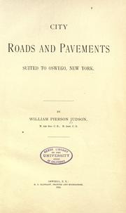
Search results from Open Library.
Recent natural events nearby
Ground air-quality sensors
Recently spotted species
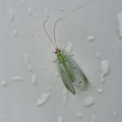
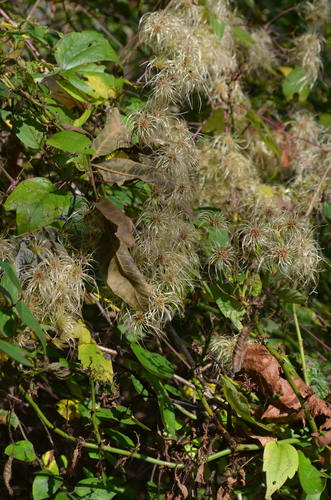
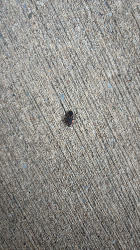
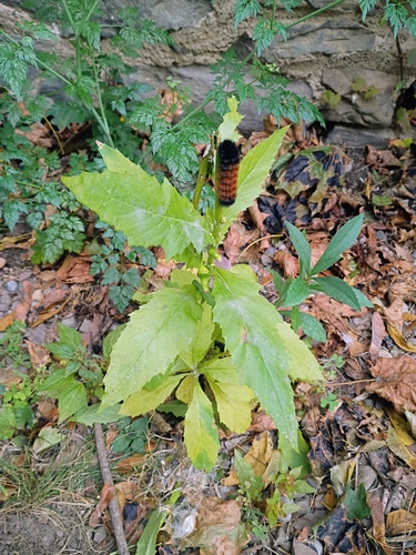
Research-grade observations from iNaturalist (within ~15 mi).
Nearest stream gauge
Live readings from USGS NWIS · measured 2026-10-14 07:45 UTC.
Events
Gallery
Sources
- • Wikipedia
- • US Census Bureau (ACS 5-year estimates)
- • NOAA National Weather Service
- • Wikidata
- • USGS Earthquake Catalog (global feed)
- • USGS NWIS (water data)
- • GBIF (Global Biodiversity Information Facility)
- • iNaturalist
- • CDC PLACES
- • Open-Meteo / sunrise-sunset.org
- • Wikipedia Pageviews API
- • Open Library