Browse / New Zealand / Marlborough / Anakiwa
Anakiwa
Marlboroughvillage

Anakiwa
Total population
171
Demographic figures from Stats NZ. Overview below cites Wikipedia and may reference a different year.
City facts
Overview
Anakiwa is a coastal residential village in the Marlborough region of New Zealand. It sits at the head of Queen Charlotte Sound/Tōtaranui, one of the Marlborough Sounds, 23 km (14 mi) west of Picton and 18 km (11 mi) east of Havelock. At the 2018 census, the village had a usual resident population of 171.
Read more on WikipediaHistory & geography
History
Anakiwa had long been a Māori settlement, most recently occupied by members of the Ngāti Rāhiri hapū of Te Āti Awa iwi until 1859 when they returned to Taranaki, at least in part to fight in the First Taranaki War. In earlier centuries, the Ngai Tara iwi had influence over the area. It was included in the New Zealand Company's deed of purchase in 1839, though there is doubt that the chiefs of the region understood the document or that it was correctly translated. In 1864, the New Zealand Government granted land to the Beauchamp family for farming in Anakiwa. In 1928 the family built a guesthouse on the site, which was purchased with donated funds by Hamish Thomas as the site for Outward Bound New Zealand. It was opened as "The Cobham Outward Bound School" in 1962 by Governor-General Lord Cobham. Anakiwa School was extant between 1910 and 1934. It closed in 1936. The Cobham Outward Bound School is sometimes called Anakiwa School. Tirimoana is a settlement within Anakiwa which was originally known as the Tirimoana Subdivision of the farm lands that once occupied the area to the south and west of Outward Bound School. It contains Tirimoana Reserve. Boundary Gate Corner which is 3.25 kilometres from the Queen Charlotte Drive intersection, marked the boundary between the two farms in the early 1900s, and a gate once stood here across the access road. Today, there is a sign and bench seat which marks this location.
Excerpted from the corresponding Wikipedia article (CC BY-SA).
Geography
Coordinates & boundaries from the US Census TIGER/Line shapefiles.
Climate
Air quality
Walkability
Amenities nearby
Wildlife & biodiversity
Earthquake history
Photos
Sights & places nearby
Notable people from here


People born within ~10 km, from Wikidata (CC0). Click any name for their Wikipedia article.
Nearby places in Marlborough
- Ngakuta Bay2.8 mi away
- Picton5.3 mi away · pop. 4,790
- Havelock7.5 mi away · pop. 588
- Rārangi11.4 mi away · pop. 672
- Tuamarina11.7 mi away · pop. 237
- Spring Creek13.6 mi away · pop. 576
- Grovetown15.1 mi away · pop. 357
- Mayfield16.5 mi away · pop. 3,390
- Springlands16.6 mi away · pop. 6,080
- Riversdale16.9 mi away · pop. 2,520
- Ōkiwi Bay16.9 mi away · pop. 63
- Islington17.1 mi away
Geography & sun
Elevation, sunrise/sunset and daylight from Open-Meteo. Solar climatology from NASA POWER.
Nearby airports
Public attention
Pageview totals from the Wikimedia Pageviews API.
Books about this place
Recent natural events nearby
Ground air-quality sensors
Recently spotted species
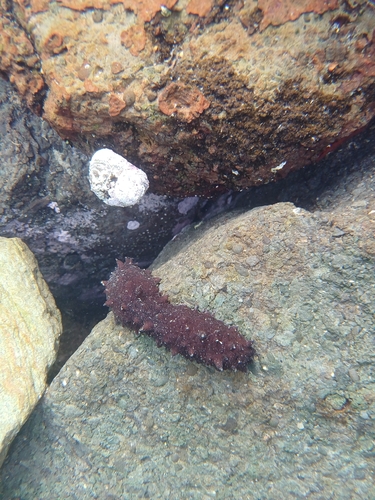
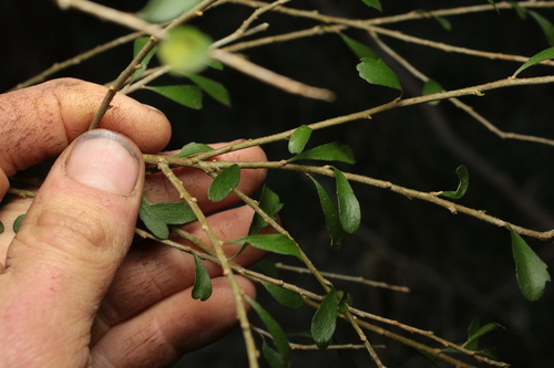
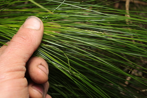
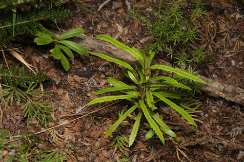
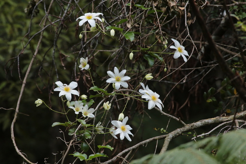
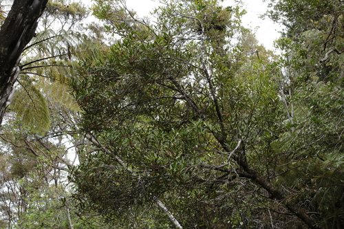
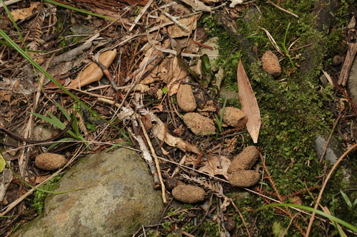
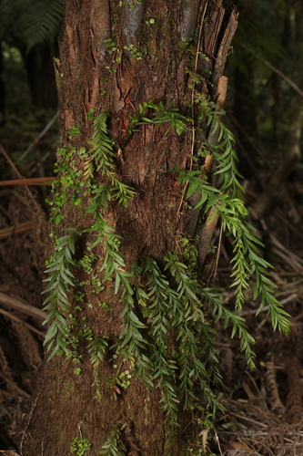
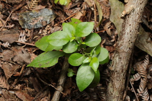
Research-grade observations from iNaturalist (within ~15 mi).
Events
Gallery
Sources
- • Wikipedia
- • Wikidata
- • iNaturalist
- • Open-Meteo / sunrise-sunset.org
- • Wikipedia Pageviews API