Browse / New Zealand / Auckland / Auckland
Auckland
Aucklandcity

Auckland
Total population
1,463,000
Founded
1840
Air quality index
Demographic figures from Stats NZ. Overview below cites Wikipedia and may reference a different year.
City facts
Sister cities
Facts from Wikidata (CC0).
Overview
Auckland is a large metropolitan city in the North Island of New Zealand. It has an urban population of about 1,547,200. It is located in the greater Auckland Region, the area governed by Auckland Council, which includes outlying rural areas and the islands of the Hauraki Gulf, and which has a total population of 1,816,000 as of June 2025. It is the most populous city of New Zealand and the fifth-most populous city in Oceania.
Read more on WikipediaHistory & geography
History
The Auckland isthmus was settled by Māori around 1350, and was valued for its rich and fertile land. Many pā (fortified villages) were built, mainly on the volcanic peaks. By the early 1700s, Te Waiohua, a confederation of tribes such as Ngā Oho, Ngā Riki and Ngā Iwi, was the main tribal group on the Auckland isthmus, with major pā at Maungakiekie / One Tree Hill, Māngere Mountain and Maungataketake. The confederation came to an end around 1741 when paramount chief Kiwi Tāmaki was killed in battle by Te Waha-akiaki, a chief of the Ngāti Whātua hapū Te Taoū. From the 1740s, Ngāti Whātua Ōrākei were the main tribe on the Auckland isthmus. The introduction of firearms at the end of the eighteenth century, which began in Northland, upset the balance of power and led to devastating intertribal warfare beginning in 1807, causing iwi who lacked the new weapons to seek refuge in areas less exposed to coastal raids. As a result, the region had relatively low numbers of Māori when settlement by European New Zealanders began. On 20 March 1840 in the Manukau Harbour area where Ngāti Whātua farmed, paramount chief Apihai Te Kawau signed the Treaty of Waitangi. Ngāti Whātua sought British protection from Ngāpuhi as well as a reciprocal relationship with the Crown and the Church. Soon after signing the treaty, Ngāti Whātua Ōrākei made a strategic gift of of land on the Waitematā Harbour to the new Governor of New Zealand, William Hobson, for the new capital, which Hobson named for George Eden, Earl of Auckland, then Viceroy of India. Auckland was founded on 18 September 1840 and was officially declared New Zealand's capital in 1841, and the transfer of the administration from Russell (now Old Russell) in the Bay of Islands was completed in 1842. However, even in 1840 Port Nicholson…
Geography
The boundaries of Auckland are imprecisely defined. The Auckland urban area, as it is defined by Statistics New Zealand under the Statistical Standard for Geographic Areas 2018 (SSGA18), spans and extends to Long Bay in the north, Swanson in the north-west, and Runciman in the south. Auckland forms New Zealand's largest urban area. The Auckland urban area lies within the Auckland Region, an administrative region that takes its name from the city. The region encompasses the city centre, as well as suburbs, surrounding towns, nearshore islands, and rural areas north and south of the urban area. The Auckland central business district is the most built-up area of the region. The CBD covers in a triangular area, and is bounded by the Auckland waterfront on the Waitematā Harbour and the inner-city suburbs of Ponsonby, Newton and Parnell. Several islands of the Hauraki Gulf are administered as part of the Auckland Region, though they are not part of the Auckland urban area. Parts of Waiheke Island effectively function as Auckland suburbs, while various smaller islands near Auckland are mostly zoned 'recreational open space' or are nature sanctuaries. Under the Köppen climate classification, Auckland has an oceanic climate (Köppen climate classification Cfb). However, under the Trewartha climate classification and according to the National Institute of Water and Atmospheric Research (NIWA), the city's climate is classified as humid subtropical climate with warm summers and mild winters (Trewartha climate classification Cfbl). It is the warmest main centre of New Zealand. Snowfall is extremely rare: the most significant fall since the start of the 20th century was on 27 July 1939, when snow fell just before dawn and of snow reportedly lay on Mount Eden. Snowflakes were…
Excerpted from the corresponding Wikipedia article (CC BY-SA).
Geography
Coordinates & boundaries from the US Census TIGER/Line shapefiles.
Climate
Air quality
Current readings from Open-Meteo Air Quality API (Copernicus CAMS European reanalysis).
Walkability
Amenities nearby
Wildlife & biodiversity
Most-observed species
- House SparrowPasser domesticus (Linnaeus, 1758) · Aves18,958
- Eurasian BlackbirdTurdus merula Linnaeus, 1758 · Aves17,596
- TuiProsthemadera novaeseelandiae (J.F.Gmelin, 1788) · Aves15,582
- Common MynaAcridotheres tristis (Linnaeus, 1766) · Aves14,208
- Kelp GullLarus dominicanus M.H.K.Lichtenstein, 1823 · Aves12,231
- Silver-eyeZosterops lateralis (Latham, 1802) · Aves11,435
- Welcome SwallowHirundo neoxena Gould, 1842 · Aves11,154
- European StarlingSturnus vulgaris Linnaeus, 1758 · Aves10,569
Citizen-science & research observations from the Global Biodiversity Information Facility (GBIF).
Earthquake history
Most recent
- M 2.9 — 2011-07-015 km NNW of Tamaki, New Zealand
- M 4 — 2007-03-1326 km NNW of Coromandel, New Zealand
- M 3.8 — 2007-02-2131 km NE of Murrays Bay, New Zealand
- M 4.5 — 2007-02-2130 km NE of Murrays Bay, New Zealand
Events from the USGS Earthquake Catalog (global) (FDSN Event Web Service).
Photos
Sights & places nearby
Notable people from here


People born within ~10 km, from Wikidata (CC0). Click any name for their Wikipedia article.
Nearby places in Auckland
- City Centre0.2 mi away · pop. 54,620
- Grafton0.7 mi away · pop. 1,720
- Freemans Bay0.7 mi away · pop. 4,430
- Eden Terrace0.9 mi away · pop. 4,730
- Parnell1 mi away · pop. 7,670
- Saint Marys Bay1.1 mi away · pop. 2,140
- Ponsonby1.2 mi away · pop. 5,710
- Newmarket1.3 mi away · pop. 4,150
- Grey Lynn1.6 mi away · pop. 11,720
- Kingsland1.7 mi away · pop. 3,530
- Herne Bay1.7 mi away · pop. 2,980
- Stanley Point2 mi away · pop. 1,980
Geography & sun
Elevation, sunrise/sunset and daylight from Open-Meteo. Solar climatology from NASA POWER.
Nearby airports
Public attention
Pageview totals from the Wikimedia Pageviews API.
Books about Auckland

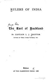
Search results from Open Library.
Recent natural events nearby
Ground air-quality sensors
Recently spotted species
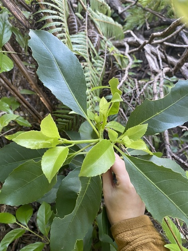

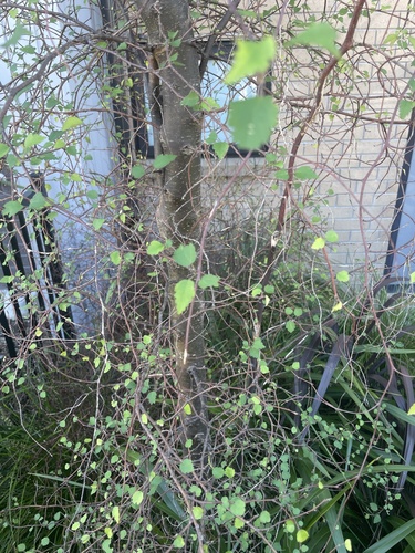
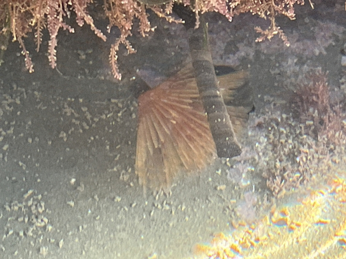
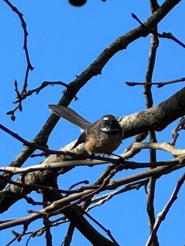
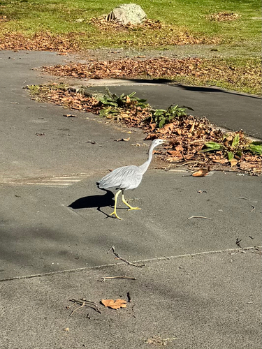
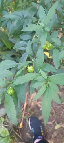
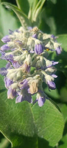
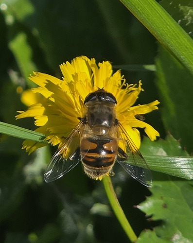
Research-grade observations from iNaturalist (within ~15 mi).
Events
Notable, recurring, and historical events associated with Auckland, sourced from Wikidata.
- 2014 World Triathlon Championship Series - 1Jan 1, 2014sporting event
- 2005 Qantas Television AwardsNov 12, 2005award ceremony
- 2003 New Zealand Film AwardsJan 1, 2003award ceremony
- 2003 New Zealand Television AwardsJan 1, 2003award ceremony
- 2002 TV Guide NZ Television AwardsJan 1, 2002award ceremony
Source: Wikidata (CC0).
Gallery
Geotagged photos within ~6 miles of Auckland, from Wikimedia Commons contributors.


.jpg)
.jpg)
.jpg)
.jpg)


_(cropped).jpg)


Photos via Wikimedia Commons — see each image page for license & attribution.
Sources
- • Wikipedia
- • Wikimedia Commons
- • Wikidata
- • Open-Meteo Air Quality (CAMS)
- • USGS Earthquake Catalog (global feed)
- • GBIF (Global Biodiversity Information Facility)
- • iNaturalist
- • Open-Meteo / sunrise-sunset.org
- • Wikipedia Pageviews API
- • Open Library
- • Wikidata SPARQL (CC0) — population, area, elevation, inception, head of government, Commons image