Browse / New Zealand / Waikato / Hamilton
Hamilton
Waikatocity

Hamilton
Total population
178,500
Air quality index
Demographic figures from Stats NZ. Overview below cites Wikipedia and may reference a different year.
City facts
Sister cities
Facts from Wikidata (CC0).
Overview
Hamilton, also known colloquially as The Tron, is an inland city in the North Island of New Zealand. Located on the banks of the Waikato River, it is the seat and most populous city of the Waikato region. With a territorial population of 192,100, it is the country's fourth-most populous city. Encompassing a land area of about 110 km2 (42 sq mi), Hamilton is part of the wider Hamilton Urban Area. In 2020, Hamilton was named the most beautiful large city in New Zealand. Hamilton is now considered the fastest growing city in the country.
Read more on WikipediaHistory & geography
History
The area now covered by the city was originally the site of several Māori villages (kāinga), including Te Parapara, Pukete, Miropiko and Kirikiriroa ("long stretch of gravel'), from which the city takes its Māori name. Local Māori were the target of raids by Ngāpuhi during the Musket Wars, and several pā sites from this period can still be found beside the Waikato River. In December 2011,, several rua, or food storage pits, were found near the Waikato River bank, close to the Waikato Museum. In 1822, Kirikiriroa Pa was briefly abandoned to escape the Musket Wars. However, by the 1830s Ngāti Wairere's principal pa was Kirikiriroa, where the missionaries, who arrived at that time, estimated 200 people lived permanently. presumably after Benjamin Ashwell established his mission near Taupiri. Between 1845 and 1855, crops such as wheat, fruit and potatoes were exported to Auckland, with up to 50 canoes serving Kirikiriroa. Imports included blankets, clothing, axes, sugar, rum, and tobacco. Magistrate Gorst, estimated that Kirikiriroa had a population of about 78 before the Invasion of Waikato via the Waikato Wars of 1863–64. The government estimated the Waikato area had a Māori population of 3,400 at the same time. After the war in the Waikato, large areas of land (1.2 Million Acres), including the area of the present city of Hamilton were confiscated by the Crown under the New Zealand Settlements Act 1863. Over the next year, most of these villages were abandoned as a result of the land confiscation, also known as Raupatu. After the Invasion of the Waikato and confiscation of the invaded land, militia-settlers were recruited in Melbourne and Sydney. Hamilton was settled by the 4th Waikato Regiment Militia, led by Captain William Steele. The 1st Regiment was at…
Geography
Hamilton's geography is largely the result of successive volcanic ash falls, plus debris, which swept down the Waikato River in at least two massive floods, created by ash blocking the outlet of Lake Taupō. In its present form the landscape originated around 20,000 years ago (20 kya), after the Oruanui eruption of the Taupō Volcano. The dates given for the eruption vary. A 2007 study said it was between 22.5 and 14 kya. Another in 2004 put it 26.5 kya. After the eruption Lake Taupō rose to about above the present lake. Around 20 kya. the ash dam eroded and the lake rapidly fell some , creating massive floods. The ash they carried formed the main Hinuera Surface into an alluvial fan of volcanic ash, which extends north of Hamilton and drops about from Karapiro. The Waikato changed its course from flowing into the sea at Thames at about that time, possibly just because sediment built up. The peat lakes and bogs also formed about that time; carbon dating gives maximum ages of 22.5 to 17 kya. Due to an ice age, vegetation was slow to restabilise the ash, so dunes formed up to above the local Hinuera surface. The current Waikato valley had cut into the debris by about 12 kya. and was further modified by the 181 CE Hatepe eruption, when again Lake Taupō level fell , generating a flood, equivalent to 5 years' normal flow in just a few weeks. About 800 years ago, aggradation began raising the river bed by about . The total area of peat bog was about 655 km2. Early photos of Hamilton East show carts buried up to their axles in thick mud. Up until the 1880s it was possible to row and drag a dinghy from the city to many outlying farms to the North East. This swampy, damp environment was at the time thought to be an ideal breeding ground for the TB bacillus, which was a…
Excerpted from the corresponding Wikipedia article (CC BY-SA).
Geography
Coordinates & boundaries from the US Census TIGER/Line shapefiles.
Climate
Air quality
Current readings from Open-Meteo Air Quality API (Copernicus CAMS European reanalysis).
Walkability
Amenities nearby
Wildlife & biodiversity
Most-observed species
- House SparrowPasser domesticus (Linnaeus, 1758) · Aves5,125
- Eurasian BlackbirdTurdus merula Linnaeus, 1758 · Aves4,983
- Common MynaAcridotheres tristis (Linnaeus, 1766) · Aves4,250
- Silver-eyeZosterops lateralis (Latham, 1802) · Aves4,073
- European StarlingSturnus vulgaris Linnaeus, 1758 · Aves3,766
- New Zealand FantailRhipidura fuliginosa (Sparrman, 1787) · Aves3,499
- European GoldfinchCarduelis carduelis (Linnaeus, 1758) · Aves3,407
- TuiProsthemadera novaeseelandiae (J.F.Gmelin, 1788) · Aves3,260
Citizen-science & research observations from the Global Biodiversity Information Facility (GBIF).
Earthquake history
Most recent
- M 4.2 — 2026-01-089 km ESE of Tauranga, New Zealand
- M 4.4 — 2025-10-212 km S of Tauranga, New Zealand
- M 4.1 — 2025-10-0234 km WNW of Acacia Bay, New Zealand
- M 4.3 — 2025-09-229 km WNW of Maketu, New Zealand
- M 4 — 2025-09-1937 km SSW of Tokoroa, New Zealand
- M 4.4 — 2025-06-1212 km WSW of Rotorua, New Zealand
Events from the USGS Earthquake Catalog (global) (FDSN Event Web Service).
Photos
Sights & places nearby
Notable people from here


People born within ~10 km, from Wikidata (CC0). Click any name for their Wikipedia article.
Nearby places in Waikato
- Hamilton Central0 mi away
- Claudelands0.6 mi away · pop. 6,990
- Hamilton North0.6 mi away · pop. 720
- Hamilton East1 mi away · pop. 14,370
- Fairfield1.2 mi away · pop. 4,810
- Whitiora1.2 mi away · pop. 2,910
- Hamilton Lake1.2 mi away
- Maeroa1.2 mi away · pop. 4,080
- Frankton1.4 mi away · pop. 7,390
- Melville1.6 mi away · pop. 8,710
- Bader1.6 mi away
- Enderley1.7 mi away · pop. 5,750
Geography & sun
Elevation, sunrise/sunset and daylight from Open-Meteo. Solar climatology from NASA POWER.
Nearby airports
Public attention
Pageview totals from the Wikimedia Pageviews API.
Books about Hamilton
Search results from Open Library.
Recent natural events nearby
Ground air-quality sensors
Recently spotted species
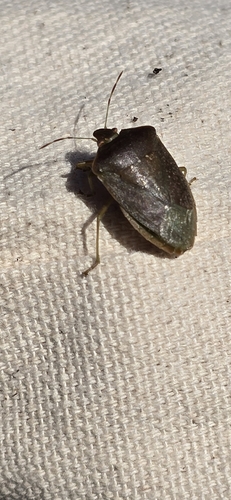
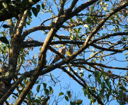
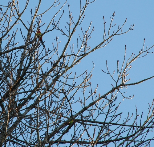
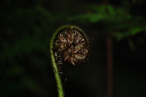
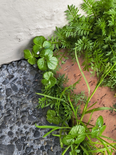
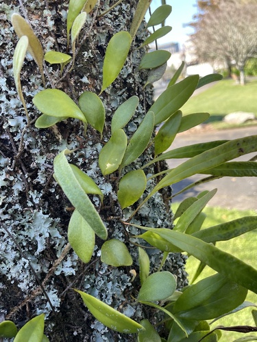
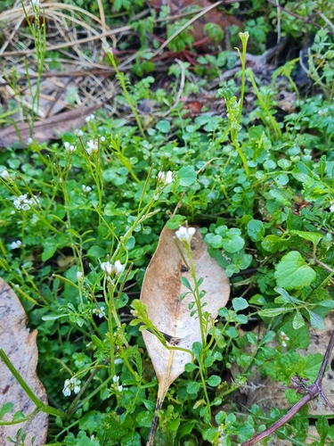
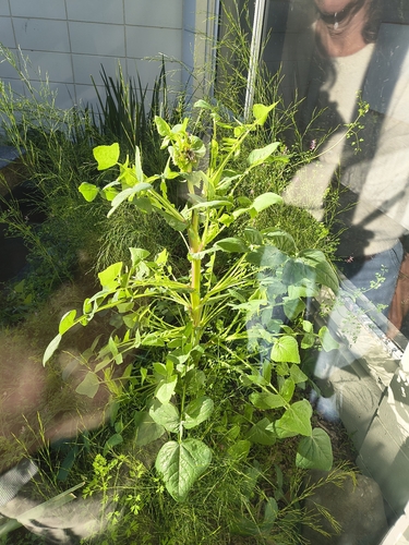
Research-grade observations from iNaturalist (within ~15 mi).
Events
Gallery
Geotagged photos within ~6 miles of Hamilton, from Wikimedia Commons contributors.
 0 mi
0 mi 0 mi
0 mi 0.1 mi
 0.1 mi
.jpg) 0.1 mi
0.1 mi.jpg) 0.1 mi
0.1 mi.jpg) 0.1 mi
0.1 mi.jpg) 0.1 mi
0.1 mi.jpg) 0.1 mi
0.1 mi.jpg) 0.1 mi
0.1 mi.jpg) 0.1 mi
0.1 mi.jpg) 0.1 mi
0.1 mi.jpg) 0.1 mi
0.1 mi.jpg) 0.1 mi
0.1 mi.jpg) 0.1 mi
0.1 mi.jpg) 0.1 mi
0.1 mi.jpg) 0.1 mi
0.1 mi.jpg) 0.1 mi
0.1 mi.jpg) 0.1 mi
0.1 mi.jpg) 0.1 mi
0.1 mi 0.1 mi
 0.1 mi
 0.1 mi
.jpg) 0.1 mi
0.1 miPhotos via Wikimedia Commons — see each image page for license & attribution.
Sources
- • Wikipedia
- • Wikimedia Commons
- • Wikidata
- • Open-Meteo Air Quality (CAMS)
- • USGS Earthquake Catalog (global feed)
- • GBIF (Global Biodiversity Information Facility)
- • iNaturalist
- • Open-Meteo / sunrise-sunset.org
- • Wikipedia Pageviews API
- • Open Library
- • Wikidata SPARQL (CC0) — population, area, elevation, inception, head of government, Commons image