Browse / New Zealand / Wellington / Manor Park
Manor Park
Wellingtonsuburb

Manor Park
Total population
410
Air quality index
Demographic figures from Stats NZ. Overview below cites Wikipedia and may reference a different year.
City facts
Overview
Manor Park, a northern suburb of Lower Hutt City, lies in the south of the North Island of New Zealand. The suburb separates the western bank of the Hutt River from State Highway 2.
Read more on WikipediaHistory & geography
History
At the end of 1925, W.H. George auctioned his Manor Park Estate, which at the time was part of Haywards. Much of it was subdivided and sold as township sections. Part of the land was purchased by Karori Golf Club, which renamed itself to Manor Park Golf Club after moving there and opening a course in 1926. A flood in April 1931 swept away Manor Park Bridge, a private bridge that connected the suburb with Stokes Valley. The flood also caused damage to the Manor Park Golf Course. The suburb was previously home to Manor Park School, which has admission records dating back to 1962. The school was declared closed on 15 February 1996.
Excerpted from the corresponding Wikipedia article (CC BY-SA).
Geography
Coordinates & boundaries from the US Census TIGER/Line shapefiles.
Climate
Air quality
Current readings from Open-Meteo Air Quality API (Copernicus CAMS European reanalysis).
Walkability
Amenities nearby
Wildlife & biodiversity
Most-observed species
- TuiProsthemadera novaeseelandiae (J.F.Gmelin, 1788) · Aves18,520
- Eurasian BlackbirdTurdus merula Linnaeus, 1758 · Aves16,155
- House SparrowPasser domesticus (Linnaeus, 1758) · Aves13,756
- Kelp GullLarus dominicanus M.H.K.Lichtenstein, 1823 · Aves13,511
- European StarlingSturnus vulgaris Linnaeus, 1758 · Aves9,577
- Silver-eyeZosterops lateralis (Latham, 1802) · Aves9,372
- New Zealand FantailRhipidura fuliginosa (Sparrman, 1787) · Aves9,324
- Gray GerygoneGerygone igata (Quoy & Gaimard, 1830) · Aves8,152
Citizen-science & research observations from the Global Biodiversity Information Facility (GBIF).
Earthquake history
Most recent
- M 5 — 2026-06-2865 km W of Foxton Beach, New Zealand
- M 4.4 — 2026-06-1630 km W of Titahi Bay, New Zealand
- M 4.5 — 2026-06-0228 km W of Titahi Bay, New Zealand
- M 4.5 — 2026-05-2942 km SE of Witherlea, New Zealand
- M 4.3 — 2026-05-1636 km SE of Witherlea, New Zealand
- M 4.4 — 2026-05-1223 km SW of Owhiro Bay, New Zealand
Events from the USGS Earthquake Catalog (global) (FDSN Event Web Service).
Photos
Sights & places nearby
Notable people from here


People born within ~10 km, from Wikidata (CC0). Click any name for their Wikipedia article.
Geography & sun
Elevation, sunrise/sunset and daylight from Open-Meteo. Solar climatology from NASA POWER.
Nearby airports
Public attention
Pageview totals from the Wikimedia Pageviews API.
Books about this place
Recent natural events nearby
Ground air-quality sensors
Recently spotted species
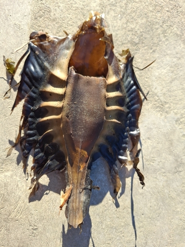
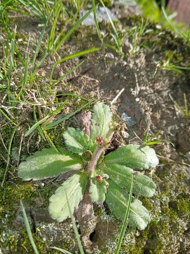
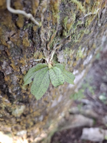
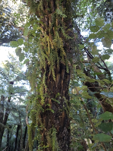
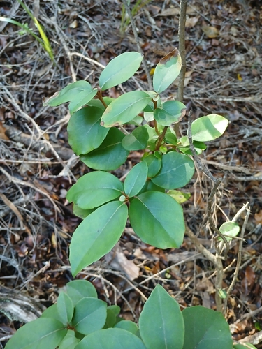
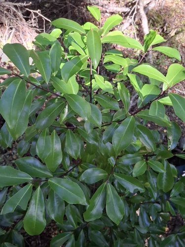
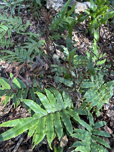
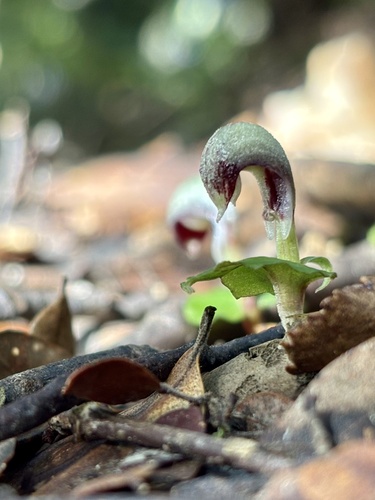
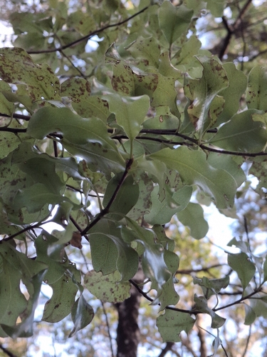
Research-grade observations from iNaturalist (within ~15 mi).
Events
Gallery
Geotagged photos within ~6 miles of Manor Park, from Wikimedia Commons contributors.
 0.3 mi
 0.4 mi
.jpg) 0.4 mi
0.4 mi.jpg) 0.4 mi
0.4 mi.jpg) 0.4 mi
0.4 mi 0.4 mi
 0.4 mi
 0.4 mi
 0.4 mi
 0.4 mi
 0.4 mi
 0.4 mi
 0.4 mi
 0.4 mi
 0.4 mi
 0.4 mi
 0.4 mi
 0.4 mi
 0.4 mi
 0.4 mi
 0.4 mi
 0.4 mi
 0.4 mi
 0.4 mi
Photos via Wikimedia Commons — see each image page for license & attribution.
Sources
- • Wikipedia
- • Wikimedia Commons
- • Wikidata
- • Open-Meteo Air Quality (CAMS)
- • USGS Earthquake Catalog (global feed)
- • GBIF (Global Biodiversity Information Facility)
- • iNaturalist
- • Open-Meteo / sunrise-sunset.org
- • Wikipedia Pageviews API