Browse / New Zealand / Auckland / Ōmaha
Ōmaha
Aucklandvillage

Ōmaha
Total population
756
Air quality index
Demographic figures from Stats NZ. Overview below cites Wikipedia and may reference a different year.
City facts
Overview
Ōmaha is a small beach town on Ōmaha Bay in the Auckland Region, in the north of New Zealand. It is on a sandspit that adjoins Tāwharanui Peninsula and separates Whangateau Harbour from Ōmaha Bay.
Read more on WikipediaHistory & geography
History
Ōmaha means 'place of pleasure' in the Mãori language. Omaha saw growth during the 1970s when a bridge to Ōmaha was constructed by Broadlands Properties, who then subdivided the land and built housing. By 1982 the first houses and roads were finished. Development of the southern part of Omaha began in the 2000s. To prevent erosion a wooden barrier was constructed. Despite these efforts on the 19th of July, 1978 a strong storm destroyed the barrier and caused damage to several beach front properties. To solve the issue of erosion and flooding with high tides three groynes were constructed to divert currents from Ōmaha. Alongside these groynes the harbour would be dredged with sand taken to the beach. Following the work to protect the foreshore more building permits were permitted; however, most came with a caveat requiring them to be raised slightly above the ground.
Geography
The sandspit of Ōmaha was formed during the last glacial period, approximately 5000 to 6000 years BP. The beach sediment composition is over 70% quartz sand, which gifted Ōmaha the natural "white" appearance. There are three artificial groynes had been placed at northern part of the sandspit, to accumulate sediment from longshore drift. Local council in last two decades had been placing various groups of plant to stabilize the dunes, including Spinifex, pingao, iceplant and marram grass. Ōmaha Spit has also been identified by the Department of Conservation as a "significant breeding site for the endangered New Zealand dotterel. As a result, The Omaha Shorebird Protection Trust was established in 2009 to monitor the dotterel population at Ōmaha. Fundraising of $162,000 by the Trust saw construction of a predator-proof fence completed in August 2012 helping to protect the birds, their chicks and eggs from predation by cats, rats, stoats, wessels and hedgehogs.
Excerpted from the corresponding Wikipedia article (CC BY-SA).
Geography
Coordinates & boundaries from the US Census TIGER/Line shapefiles.
Climate
10-year averages from ERA5 reanalysis (Open-Meteo).
Air quality
Current readings from Open-Meteo Air Quality API (Copernicus CAMS European reanalysis).
Walkability
Amenities nearby
Wildlife & biodiversity
Most-observed species
- TuiProsthemadera novaeseelandiae (J.F.Gmelin, 1788) · Aves4,168
- Common MynaAcridotheres tristis (Linnaeus, 1766) · Aves3,932
- House SparrowPasser domesticus (Linnaeus, 1758) · Aves3,271
- New Zealand FantailRhipidura fuliginosa (Sparrman, 1787) · Aves3,147
- Sacred KingfisherTodiramphus sanctus (Vigors & Horsfield, 1827) · Aves2,874
- Silver GullChroicocephalus novaehollandiae (Stephens, 1826) · Aves2,863
- Welcome SwallowHirundo neoxena Gould, 1842 · Aves2,798
- Australasian SwamphenPorphyrio melanotus Temminck, 1820 · Aves2,794
Citizen-science & research observations from the Global Biodiversity Information Facility (GBIF).
Earthquake history
Most recent
- M 2.9 — 2011-07-015 km NNW of Tamaki, New Zealand
- M 4 — 2007-03-1326 km NNW of Coromandel, New Zealand
- M 3.8 — 2007-02-2131 km NE of Murrays Bay, New Zealand
- M 4.5 — 2007-02-2130 km NE of Murrays Bay, New Zealand
- M 4.5 — 2003-12-1724 km SW of Ruakaka, New Zealand
Events from the USGS Earthquake Catalog (global) (FDSN Event Web Service).
Photos
Sights & places nearby
Notable people from here
People born within ~10 km, from Wikidata (CC0). Click any name for their Wikipedia article.
Nearby places in Auckland
- Point Wells1.5 mi away
- Tī Point1.8 mi away
- Whangateau1.9 mi away · pop. 126
- Campbells Beach3 mi away
- Baddeleys Beach3 mi away
- Matakana3.3 mi away · pop. 492
- Leigh3.8 mi away · pop. 606
- Buckleton Beach3.8 mi away
- Rainbows End4.4 mi away · pop. 110
- Sandspit4.5 mi away
- Snells Beach6.2 mi away · pop. 3,760
- Algies Bay6.7 mi away · pop. 762
Geography & sun
Elevation, sunrise/sunset and daylight from Open-Meteo. Solar climatology from NASA POWER.
Nearby airports
Public attention
Pageview totals from the Wikimedia Pageviews API.
Books about this place
Recent natural events nearby
Ground air-quality sensors
Recently spotted species
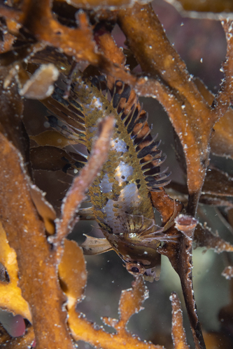
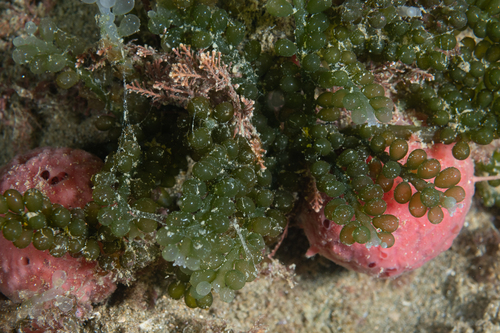
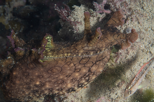
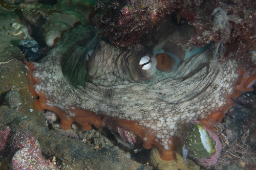
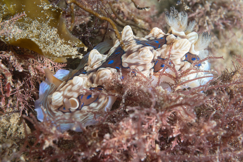
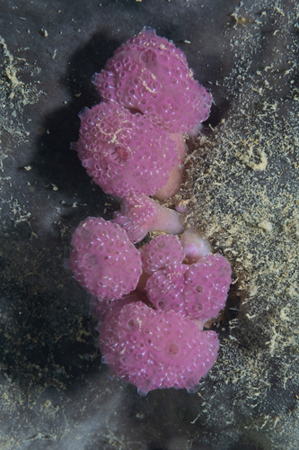
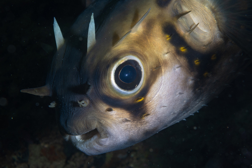
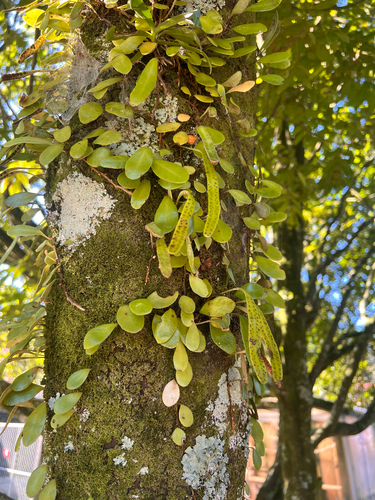
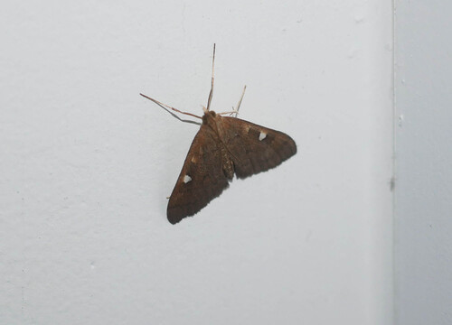
Research-grade observations from iNaturalist (within ~15 mi).
Events
Gallery
Geotagged photos within ~6 miles of Ōmaha, from Wikimedia Commons contributors.
 0.2 mi
 0.2 mi
 0.2 mi
 0.3 mi
.jpg) 0.3 mi
0.3 mi 0.3 mi
.jpg) 0.4 mi
0.4 mi.jpg) 0.7 mi
0.7 mi 0.7 mi
 1.1 mi
 1.1 mi
 1.1 mi
 1.1 mi
 1.3 mi
 1.3 mi
 1.5 mi
 1.5 mi
.jpg) 1.6 mi
1.6 mi 1.6 mi
 1.7 mi
 1.7 mi
 1.7 mi
 1.7 mi
 1.7 mi
Photos via Wikimedia Commons — see each image page for license & attribution.
Sources
- • Wikipedia
- • Open-Meteo (ERA5 reanalysis)
- • Wikimedia Commons
- • Wikidata
- • Open-Meteo Air Quality (CAMS)
- • USGS Earthquake Catalog (global feed)
- • GBIF (Global Biodiversity Information Facility)
- • iNaturalist
- • Open-Elevation
- • Open-Meteo / sunrise-sunset.org
- • Wikipedia Pageviews API