Browse / New Zealand / Auckland / Penrose
Penrose
Aucklandsuburb

Penrose
Total population
970
Demographic figures from Stats NZ. Overview below cites Wikipedia and may reference a different year.
City facts
Overview
Penrose is an industrial suburb in Auckland, New Zealand. It is located to the southeast of the city centre, at a distance of about nine kilometres, between the suburbs of Oranga and Mount Wellington, and close to the Mangere Inlet, an arm of the Manukau Harbour.
Read more on WikipediaHistory & geography
History
The area was purchased from three local Maori Chiefs by The Williams family in the late 1830s, the farm being called Penrose after their home area in Cornwall, England. The railway line between Auckland and Onehunga running through Penrose (now known as the Onehunga Line) was one of the first Government funded railways in New Zealand, being opened in 1873. It was built by the Auckland provincial government. Industry flourished in the area from the 1920s, due to its close connection to the main railway line and the main road (Great South Road) with these important transport links later strengthened by the motorway (State Highway 1) built following the same alignment in the 1950s. By this time, around 5,000 workers were employed in the suburb. Following the Second World War a global shortage in goods led to an expansion of manufacturing in New Zealand with Penrose becoming the main area for manufacturing in suburban Auckland. The new motorway and the move of industrial and manufacturing occupations out of older centres like the Auckland CBD soon started a boom in the Penrose-Mount Wellington area. Industry also successfully lobbied for state housing to be built close by, to provide the new area with a supply of labour. To this day, the area remains almost exclusively industrial, with a mix of run-down areas and newly established sites.
Excerpted from the corresponding Wikipedia article (CC BY-SA).
Geography
Coordinates & boundaries from the US Census TIGER/Line shapefiles.
Climate
Air quality
Walkability
Amenities nearby
Wildlife & biodiversity
Earthquake history
Photos
Sights & places nearby
Notable people from here
Geography & sun
Nearby airports
Public attention
Books about this place
Recent natural events nearby
Ground air-quality sensors
Recently spotted species
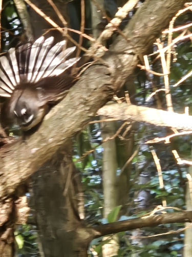
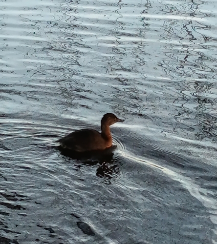
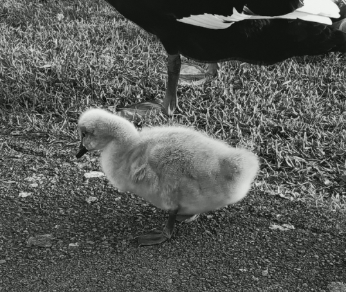
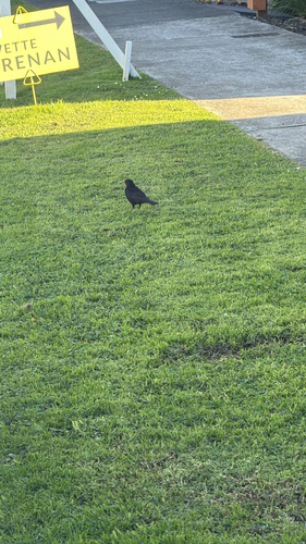
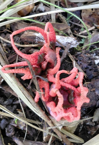
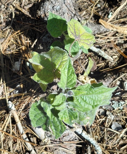
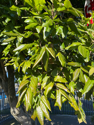
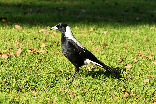
Research-grade observations from iNaturalist (within ~15 mi).
Events
Gallery
Geotagged photos within ~6 miles of Penrose, from Wikimedia Commons contributors.
 0.1 mi
 0.1 mi
 0.2 mi
 0.2 mi
 0.2 mi
 0.2 mi
 0.3 mi
 0.4 mi
 0.4 mi
 0.4 mi
 0.4 mi
.jpg) 0.5 mi
0.5 mi.jpg) 0.5 mi
0.5 mi.jpg) 0.5 mi
0.5 mi 0.5 mi
 0.5 mi
 0.5 mi
 0.5 mi
 0.5 mi
 0.5 mi
 0.5 mi
 0.5 mi
 0.5 mi
 0.5 mi
Photos via Wikimedia Commons — see each image page for license & attribution.
Sources
- • Wikipedia
- • Wikimedia Commons
- • iNaturalist