Browse / New Zealand / Marlborough / Picton
Picton
Marlboroughtown

Picton
Total population
4,790
Demographic figures from Stats NZ. Overview below cites Wikipedia and may reference a different year.
City facts
Facts from Wikidata (CC0).
Overview
Picton is a town in the Marlborough Region of New Zealand's South Island. The town is located near the head of the Queen Charlotte Sound / Tōtaranui, 25 km (16 mi) north of Blenheim and 65 km (40 mi) west of Wellington. Waikawa lies just north-east of Picton and is considered to be a contiguous part of the Picton urban area.
Read more on WikipediaHistory & geography
History
Prior to European settlement, the Te Atiawa o Te Waka-a-Māui iwi occupied Waitohi Pā on the site of the present town. In March 1850, Sir George Grey and Sir Francis Dillon purchased the land from Te Āti Awa, who moved to neighbouring Waikawa Bay. In 1859, the Marlborough Province was created and the newly named Picton became the provincial capital. The provincial capital was moved to Blenheim in 1865. Author Katherine Mansfield spent time in Picton, where her grandparents, Arthur and Mary Beauchamp, and her father Harold, lived for some time when they came from Australia. She included a reference to the port in her short story "The Voyage" (in the collection The Garden Party), which is "an account of a trip to Picton from Wellington on the Cook Strait ferry". The roll-on/roll-off (RORO) road and rail ferry service between Picton and Wellington started on 11 August 1962, operated by the New Zealand Railways Department with the ship .
Geography
Picton is located in an inlet known as Picton Harbour, on the true right (south) side of the upper Queen Charlotte Sound / Tōtaranui. Picton Harbour is flanked to the west by Wedge Point, which separates it from Grove Arm, and to the east by The Snout, which separates it from Waikawa Bay. Within the harbour, Kaipupu Point splits the inlet into two, Picton Harbour proper to the east and Shakespeare Bay to the west. The main town is located on flat to rolling land at the head of Picton Harbour. Waitohi River starts in Essons Valley and passes through the town, draining into the sound near the ferry terminal. The township extends northeast along rolling land towards Waikawa Bay, separated from Picton Harbour by The Snout and Victoria Domain. On the land side, Picton is surrounded by hills and mountains, including Te Tara-o-Te-Marama/Mount Freeth to the west, the Robertson Range to the south and Mount McCormick to the east. The Elevation Saddle connects southwest of the town with the Tuamarina River valley and contains the main land transport routes between Picton and the rest of the South Island.
Excerpted from the corresponding Wikipedia article (CC BY-SA).
Geography
Coordinates & boundaries from the US Census TIGER/Line shapefiles.
Climate
Air quality
Walkability
Amenities nearby
Wildlife & biodiversity
Most-observed species
- Kelp GullLarus dominicanus M.H.K.Lichtenstein, 1823 · Aves4,573
- New Zealand BellbirdAnthornis melanura (Sparrman, 1786) · Aves3,879
- Silver-eyeZosterops lateralis (Latham, 1802) · Aves3,203
- Eurasian BlackbirdTurdus merula Linnaeus, 1758 · Aves2,763
- Silver GullChroicocephalus novaehollandiae (Stephens, 1826) · Aves2,739
- House SparrowPasser domesticus (Linnaeus, 1758) · Aves2,513
- Pied CormorantPhalacrocorax varius (Gmelin, 1789) · Aves2,438
- Common ChaffinchFringilla coelebs Linnaeus, 1758 · Aves2,239
Citizen-science & research observations from the Global Biodiversity Information Facility (GBIF).
Earthquake history
Most recent
- M 4.6 — 2026-09-0428 km NW of Raumati Beach, New Zealand
- M 4.2 — 2026-07-3129 km WNW of Titahi Bay, New Zealand
- M 4.4 — 2026-06-1630 km W of Titahi Bay, New Zealand
- M 4.1 — 2026-06-1228 km W of Picton, New Zealand
- M 4.2 — 2026-06-129 km NNW of Renwick, New Zealand
- M 4.5 — 2026-06-0228 km W of Titahi Bay, New Zealand
Events from the USGS Earthquake Catalog (global) (FDSN Event Web Service).
Photos
Sights & places nearby
Notable people from here


People born within ~10 km, from Wikidata (CC0). Click any name for their Wikipedia article.
Nearby places in Marlborough
- Ngakuta Bay2.5 mi away
- Anakiwa5.3 mi away · pop. 171
- Rārangi7.5 mi away · pop. 672
- Tuamarina9.9 mi away · pop. 237
- Spring Creek11.7 mi away · pop. 576
- Havelock12.4 mi away · pop. 588
- Grovetown13.3 mi away · pop. 357
- Mayfield14.9 mi away · pop. 3,390
- Riversdale15 mi away · pop. 2,520
- Islington15.3 mi away
- Springlands15.4 mi away · pop. 6,080
- Blenheim15.5 mi away · pop. 28,800
Geography & sun
Elevation, sunrise/sunset and daylight from Open-Meteo. Solar climatology from NASA POWER.
Nearby airports
Public attention
Pageview totals from the Wikimedia Pageviews API.
Books about Picton
Search results from Open Library.
Recent natural events nearby
Ground air-quality sensors
Recently spotted species
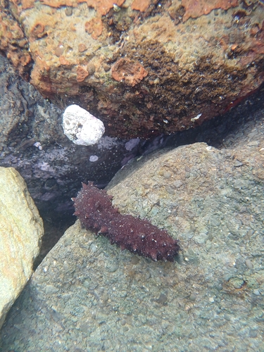
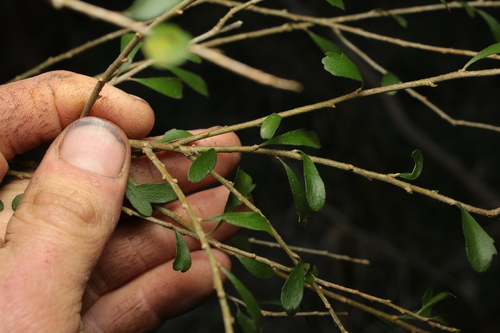
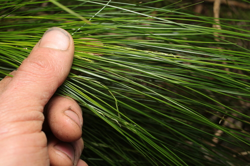
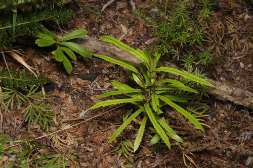
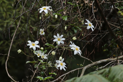
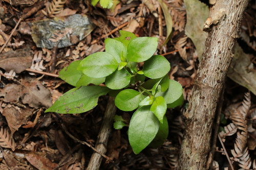
Research-grade observations from iNaturalist (within ~15 mi).
Events
Gallery
Sources
- • Wikipedia
- • Wikidata
- • USGS Earthquake Catalog (global feed)
- • GBIF (Global Biodiversity Information Facility)
- • iNaturalist
- • Open-Meteo / sunrise-sunset.org
- • Wikipedia Pageviews API
- • Open Library