Browse / New Zealand / Wellington / Wellington
Wellington
Wellingtoncity

Wellington
Total population
215,900
Founded
1839
Air quality index
Demographic figures from Stats NZ. Overview below cites Wikipedia and may reference a different year.
City facts
Facts from Wikidata (CC0).
Overview
Wellington is the capital city of New Zealand. It is located at the southwestern tip of the North Island, between Cook Strait and the Remutaka Range. Wellington is the third-largest city in New Zealand, and is the administrative centre of the Wellington Region. It is the world's southernmost capital of a sovereign state. Wellington features a temperate maritime climate, and is the world's windiest city by average wind speed.
Read more on WikipediaHistory & geography
History
In Māori mythology, the legendary Polynesian explorer Kupe, a chief from Hawaiki (the homeland of Polynesian explorers, of unconfirmed geographical location, not to be confused with Hawaii), was said to have stayed in the harbour from . A later Māori explorer, Whatonga, named the harbour Te Whanganui-a-Tara after his son Tara. Before the 1820s, most of the inhabitants of the Wellington region identified as being Whatonga's descendants. At about 1820, the people living there were Ngāti Ira and other groups who claimed descent from the explorer Whatonga, including Rangitāne and Muaūpoko. However, these groups were eventually forced out of Te Whanganui-a-Tara by a series of migrations by other iwi (Māori tribes) from the north. European settlement began with the arrival of an advance party of the New Zealand Company on the ship Tory on 20 September 1839, followed by 150 settlers on the Aurora on 22 January 1840. Thus, the Wellington settlement preceded the signing of the Treaty of Waitangi (on 6 February 1840). The 1840 settlers constructed their first homes at Petone (which they called Britannia for a time) on the flat area at the mouth of the Hutt River. Within months that area proved swampy and flood-prone, and most of the newcomers transplanted their settlement across Wellington Harbour to Thorndon in present-day Wellington. The town's layout was originally designed by Captain William Mein Smith, the first Surveyor General for the New Zealand Company, in 1840. Smith's plan included a series of interconnected grid plans, expanding along valleys and lower hill slopes, but without actually taking the terrain into account. The capital was moved to Wellington in 1865. Wellington's status as the capital is a result of constitutional convention rather than statute. A…
Geography
Wellington is at the south-western tip of the North Island on Cook Strait, separating the North and South Islands. On a clear day, the snowcapped Kaikōura Ranges are visible to the south across the strait. To the north stretch the golden beaches of the Kāpiti Coast. On the east, the Remutaka Range divides Wellington from the broad plains of the Wairarapa, a wine region of national notability. With a latitude of 41° 17' South, Wellington is the southernmost capital city in the world. Wellington is more densely populated than most other cities in New Zealand due to the restricted amount of land that is available between its harbour and the surrounding hills. It has very few open areas in which to expand, and this has brought about the development of the suburban towns. Because of its location in the Roaring Forties and its exposure to the winds blowing through Cook Strait, Wellington is the world's windiest city, with an average wind speed of . Wellington's scenic natural harbour and green hillsides adorned with tiered suburbs of colonial villas are popular with tourists. The central business district (CBD) is close to Lambton Harbour, an arm of Wellington Harbour, which lies along an active geological fault, clearly evident on its straight western shore. The land to the west of this rises abruptly, meaning that many suburbs sit high above the centre of the city. There is a network of bush walks and reserves maintained by the Wellington City Council and local volunteers. These include Ōtari-Wilton's Bush, dedicated to the protection and propagation of native plants. The Wellington region has of regional parks and forests. In the east is the Miramar Peninsula, connected to the rest of the city by a low-lying isthmus at Rongotai, the site of Wellington Airport.…
Excerpted from the corresponding Wikipedia article (CC BY-SA).
Geography
Coordinates & boundaries from the US Census TIGER/Line shapefiles.
Climate
Air quality
Current readings from Open-Meteo Air Quality API (Copernicus CAMS European reanalysis).
Walkability
Amenities nearby
Wildlife & biodiversity
Most-observed species
- TuiProsthemadera novaeseelandiae (J.F.Gmelin, 1788) · Aves20,138
- Eurasian BlackbirdTurdus merula Linnaeus, 1758 · Aves18,489
- Kelp GullLarus dominicanus M.H.K.Lichtenstein, 1823 · Aves16,490
- House SparrowPasser domesticus (Linnaeus, 1758) · Aves16,121
- European StarlingSturnus vulgaris Linnaeus, 1758 · Aves11,793
- Silver-eyeZosterops lateralis (Latham, 1802) · Aves10,097
- New Zealand FantailRhipidura fuliginosa (Sparrman, 1787) · Aves9,384
- New Zealand KakaNestor meridionalis (Gmelin, 1788) · Aves9,228
Citizen-science & research observations from the Global Biodiversity Information Facility (GBIF).
Earthquake history
Most recent
- M 4.5 — 2026-06-1632 km W of Titahi Bay, New Zealand
- M 4.2 — 2026-06-1227 km E of Marybank, New Zealand
- M 4.2 — 2026-06-1212 km NNW of Renwick, New Zealand
- M 4.5 — 2026-06-0228 km W of Titahi Bay, New Zealand
- M 4.5 — 2026-05-2946 km ESE of Witherlea, New Zealand
- M 4.3 — 2026-05-1636 km SE of Witherlea, New Zealand
Events from the USGS Earthquake Catalog (global) (FDSN Event Web Service).
Photos
Sights & places nearby
Notable people from here


People born within ~10 km, from Wikidata (CC0). Click any name for their Wikipedia article.
Nearby places in Wellington
- Te Aro0.3 mi away · pop. 15,020
- Wellington Central0.5 mi away · pop. 3,380
- Aro Valley0.7 mi away · pop. 4,120
- Kelburn0.8 mi away · pop. 5,080
- Mount Victoria0.8 mi away · pop. 4,890
- Mount Cook0.9 mi away · pop. 7,510
- Oriental Bay0.9 mi away · pop. 1,480
- Pipitea0.9 mi away · pop. 465
- Thorndon1 mi away · pop. 4,440
- Northland1.1 mi away · pop. 3,740
- Roseneath1.3 mi away · pop. 1,870
- Brooklyn1.5 mi away · pop. 7,020
Geography & sun
Elevation, sunrise/sunset and daylight from Open-Meteo. Solar climatology from NASA POWER.
Nearby airports
Public attention
Pageview totals from the Wikimedia Pageviews API.
Books about Wellington

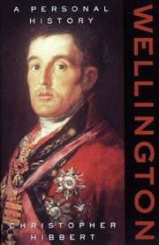






Search results from Open Library.
Recent natural events nearby
Ground air-quality sensors
Recently spotted species
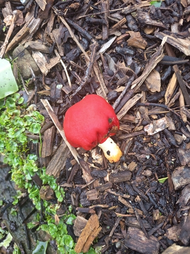
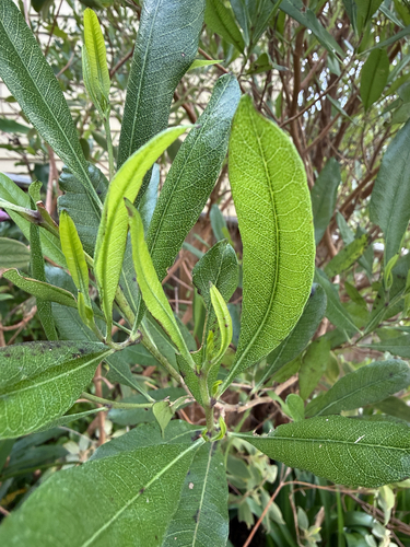
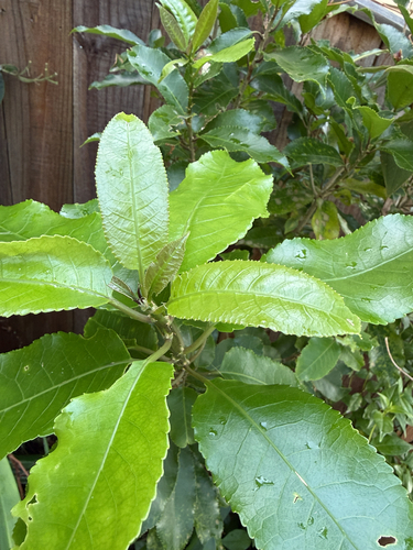
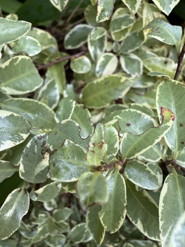
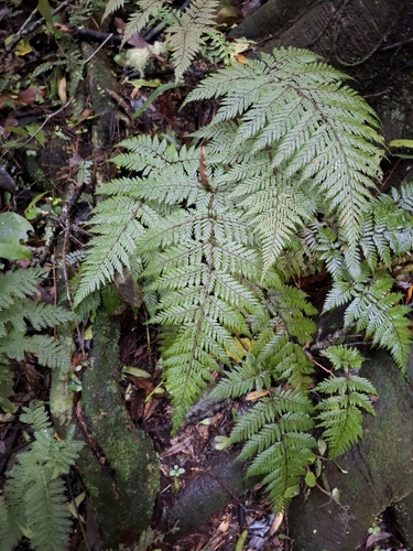
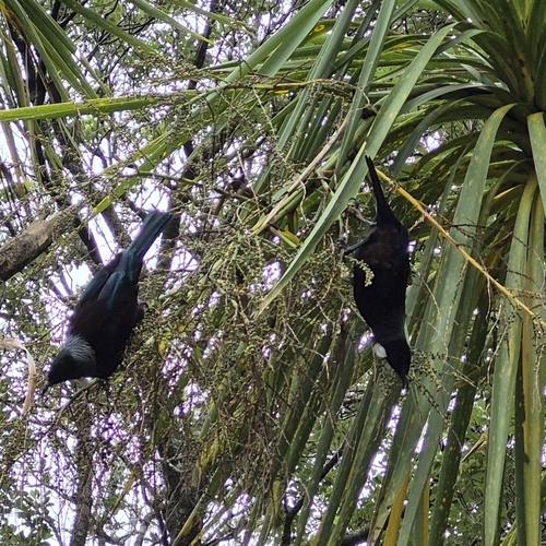
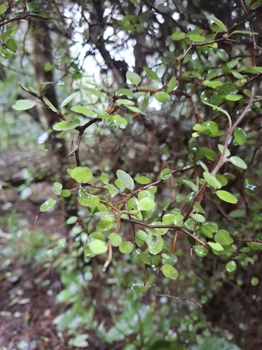
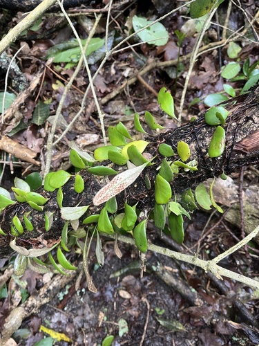
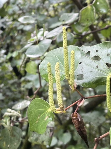
Research-grade observations from iNaturalist (within ~15 mi).
Events
Notable, recurring, and historical events associated with Wellington, sourced from Wikidata.
- Māori Economy and Trade Reception, Wellington, New Zealand on 24 September 2025Sep 24, 2025event
2025 event in Wellington, New Zealand
- World of Wearable Art (WOW) Reception at Wellington, New Zealand on 19 September 2025Sep 19, 2025event
2025 event in Wellington, New Zealand
- Jan 28, 2025
- 2022 Wellington protestsFeb 6, 2022demonstration
Convoy and protest against COVID-19 lockdowns, restrictions and mandates in New Zealand
- New Zealand Fringe Festivalrecurring event
open access performing arts festival in Wellington, New Zealand established in 1990
Source: Wikidata (CC0).
Gallery
Geotagged photos within ~6 miles of Wellington, from Wikimedia Commons contributors.

.jpg)
.jpg)
.jpg)
.jpg)
.jpg)
.jpg)
.jpg)
.jpg)
.jpg)
.jpg)


Photos via Wikimedia Commons — see each image page for license & attribution.
Sources
- • Wikipedia
- • Wikimedia Commons
- • Wikidata
- • Open-Meteo Air Quality (CAMS)
- • USGS Earthquake Catalog (global feed)
- • GBIF (Global Biodiversity Information Facility)
- • iNaturalist
- • Open-Meteo / sunrise-sunset.org
- • Wikipedia Pageviews API
- • Open Library
- • Wikidata SPARQL (CC0) — population, area, elevation, inception, head of government, Commons image