Browse / United States / Ohio / Amesville
Amesville
Ohiovillage

Amesville
Total population
207
Median home value
$145,200
Bachelor's+
Median income
$77,500
Founded
1837
Demographic figures from US Census Bureau · ACS 5-year estimates. Overview below cites Wikipedia and may reference a different year.
- Heat Advisory · ModerateHeat Advisory issued September 3 at 10:51AM EDT until September 4 at 8:00PM EDT by NWS Charleston WV
Source: NOAA National Weather Service.
City facts
Facts from Wikidata (CC0).
Overview
Amesville is a village in Ames Township, Athens County, Ohio, United States, located on Federal Creek. The population was 171 at the 2020 census.
Read more on WikipediaHistory & geography
History
Amesville was laid out in 1837. The village derives its name from Fisher Ames who was instrumental in gaining federal support for the Ohio Company of Associates which managed much of the settlement in the area. Amesville is perhaps best known for the Coonskin Library. At an 1803 town meeting—held to discuss roads—settlers talked about their desire for books and their lack of money to pay for them. Most of the business was done by barter, so little money was in circulation. However, the surrounding forest had pelts that could be sold in the East to buy books. In the spring of 1804, Samuel B. Brown was given the pelts and, accompanied by Ephraim Cutler, went east to bring back books for the town. Fifty-one books—mostly on religion, travel, biography and history—were purchased for $73.50. These books were passed from home to home until Ephraim Cutler was elected librarian in 1804. The original books can be found at the Ohio Historical Society, as well as Ohio University's Alden Library. A commemorative marker, placed by the Nabby Lee Ames D.A.R. Chapter of Athens in 1925, is located near the Community Bank on State Street. The Coonskin Library Museum opened in May 1994 in the former cafeteria of the Amesville Grade School. A post office called Amesville was established 1820. Another unique feature of Amesville history was the election of Alonzo Weed as mayor in 1903. Research by Tyler Buchanon, of the Athens Messenger, tells the story of a wandering hobo that became mayor of the village. Alonzo Weed was likely born somewhere on the west coast around 1850. Amesville residents found Weed a strange, but friendly figure. It's hard to say for sure what first prompted his name to get placed on the ballot. In many versions, he was nominated by a few friends on Election Day…
Geography
Amesville is situated in the foothills of the Appalachian Mountains, approximately 45 miles south by southeast of the terminal moraine, a topographical feature often associated with the boundaries of glaciers, and is surrounded by wooded hills, narrow valleys, and numerous creeks flanked by lowland pastures and farmland. These features are largely indicative of the areas in the State of Ohio that fall to the south of the terminal moraine. The terminal moraine in the State of Ohio, and to the north of Amesville, effectively serves to bisect the state along a line running on a west to east axis across the south by southeastern third of Ohio thereby contributing to certain distinctive topographical, socio-economic, and cultural attributes on either side of this feature. According to the United States Census Bureau, the village has a total area of , all land. The climate in this area is characterized by hot, humid summers and generally mild to cool winters. According to the Köppen Climate Classification system, Amesville has a humid subtropical climate, abbreviated "Cfa" on climate maps.
Excerpted from the corresponding Wikipedia article (CC BY-SA).
Demographics & economy
Race & ethnicity
Source: US Census Bureau — American Community Survey, 5-year estimates.
Geography
Coordinates & boundaries from the US Census TIGER/Line shapefiles.
Climate
Current forecast
Forecast for Amesville, OH from NOAA NWS API.
Air quality
Industrial & pollution facilities
Natural hazard risk
Health (adults)
Age-adjusted prevalence estimates from CDC PLACES (latest release).
Walkability
Amenities nearby
Wildlife & biodiversity
Most-observed species
- Northern CardinalCardinalis cardinalis (Linnaeus, 1758) · Aves8,143
- Blue JayCyanocitta cristata (Linnaeus, 1758) · Aves6,647
- Carolina ChickadeePoecile carolinensis (Audubon, 1834) · Aves5,978
- Tufted TitmouseBaeolophus bicolor (Linnaeus, 1766) · Aves5,777
- American RobinTurdus migratorius Linnaeus, 1766 · Aves5,708
- Carolina WrenThryothorus ludovicianus (Latham, 1790) · Aves5,704
- Song SparrowMelospiza melodia (A.Wilson, 1810) · Aves5,597
- American CrowCorvus brachyrhynchos C.L.Brehm, 1822 · Aves5,538
Citizen-science & research observations from the Global Biodiversity Information Facility (GBIF).
Schools
Earthquake history
Most recent
- M 2.9 — 2025-05-093 km S of Pleasant City, Ohio
- M 2.8 — 2025-04-291 km SE of Pleasant City, Ohio
- M 3.1 — 2025-04-243 km S of Pleasant City, Ohio
- M 3.1 — 2025-04-223 km ESE of Buffalo, Ohio
- M 2.8 — 2025-02-030 km NE of Reno, Ohio
- M 3.1 — 2025-02-032 km NNW of Oak Hill, Ohio
Events from the USGS Earthquake Catalog (global) (FDSN Event Web Service).
Photos
Sights & places nearby
Notable people from here
Nearby places in Ohio
Geography & sun
Elevation, sunrise/sunset and daylight from Open-Meteo. Solar climatology from NASA POWER.
Nearby airports
Public attention
Pageview totals from the Wikimedia Pageviews API.
Books about Amesville
Search results from Open Library.
Recent natural events nearby
Ground air-quality sensors
Recently spotted species
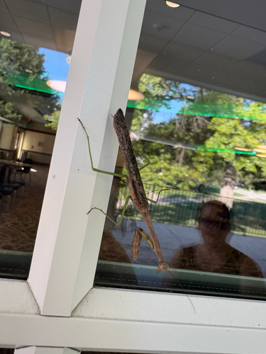
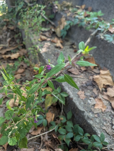
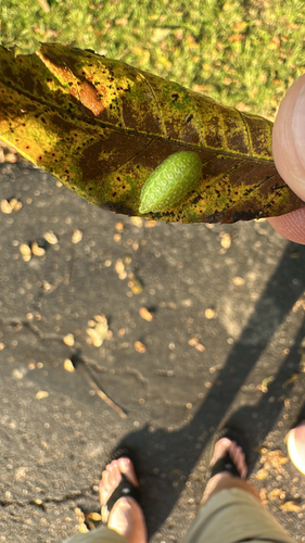
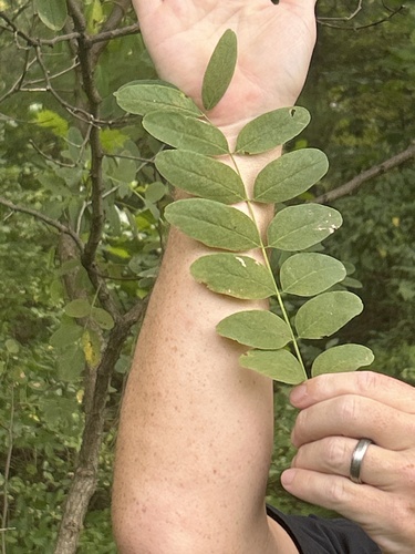
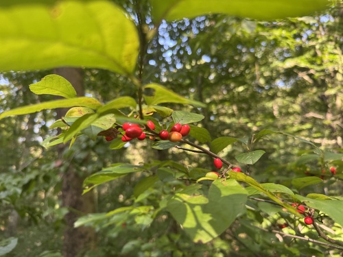
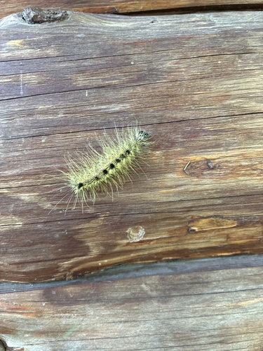
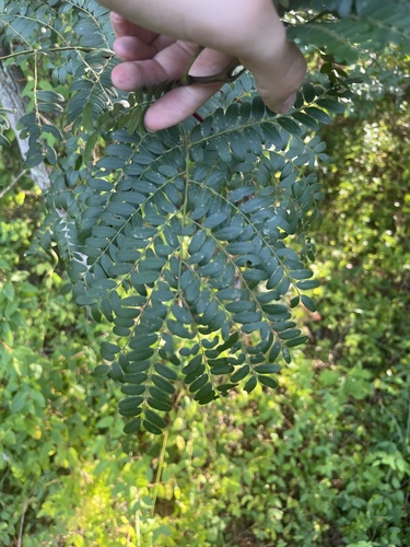
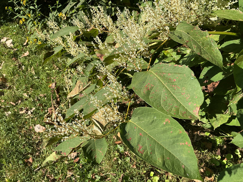
Research-grade observations from iNaturalist (within ~15 mi).
Nearest stream gauge
Events
Gallery
Sources
- • Wikipedia
- • US Census Bureau (ACS 5-year estimates)
- • NOAA National Weather Service
- • Wikidata
- • USGS Earthquake Catalog (global feed)
- • GBIF (Global Biodiversity Information Facility)
- • iNaturalist
- • CDC PLACES
- • Open-Meteo / sunrise-sunset.org
- • Wikipedia Pageviews API
- • Open Library