Browse / United States / Ohio / Chilo
Chilo
Ohiovillage

Chilo
Total population
15
Median home value
$0
Bachelor's+
Median income
$55,750
Demographic figures from US Census Bureau · ACS 5-year estimates. Overview below cites Wikipedia and may reference a different year.
City facts
Facts from Wikidata (CC0).
Overview
Chilo or is a village in Clermont County, Ohio, United States, along the Ohio River. The population was 71 at the 2020 census.
Read more on WikipediaHistory & geography
History
Chilo was originally called Mechanicsburgh, and under the latter name was platted in 1816. A post office called Mechanicsburg was established in 1819. The village's name was changed to Chilo in 1820 by an act of the Ohio Legislature. By the 1830s, was home of boat building businesses, which swelled the population to several hundred. Chilo had more than thirty houses and two stores. The town was the site of Lock #34 on the Ohio River up until the 1960s, when nearby Meldahl Dam was built. The original lock building is home to the Ohio River Museum, operated by the Clermont County Parks Department.
Geography
According to the United States Census Bureau, the village has a total area of , of which is land and is water.
Excerpted from the corresponding Wikipedia article (CC BY-SA).
Demographics & economy
Race & ethnicity
Source: US Census Bureau — American Community Survey, 5-year estimates.
Geography
Coordinates & boundaries from the US Census TIGER/Line shapefiles.
Climate
Air quality
Industrial & pollution facilities
Natural hazard risk
Health (adults)
Age-adjusted prevalence estimates from CDC PLACES (latest release).
Walkability
Amenities nearby
Wildlife & biodiversity
Most-observed species
- American CrowCorvus brachyrhynchos C.L.Brehm, 1822 · Aves390
- Northern CardinalCardinalis cardinalis (Linnaeus, 1758) · Aves384
- Blue JayCyanocitta cristata (Linnaeus, 1758) · Aves356
- American RobinTurdus migratorius Linnaeus, 1766 · Aves323
- Red-bellied WoodpeckerMelanerpes carolinus (Linnaeus, 1758) · Aves303
- Tufted TitmouseBaeolophus bicolor (Linnaeus, 1766) · Aves270
- Mourning DoveZenaida macroura (Linnaeus, 1758) · Aves267
- Carolina ChickadeePoecile carolinensis (Audubon, 1834) · Aves266
Citizen-science & research observations from the Global Biodiversity Information Facility (GBIF).
Schools
Earthquake history
Most recent
- M 2.5 — 2026-02-222 km NE of Hillsboro, Ohio
- M 2.51 — 2024-01-283 km SW of Old Washington, Kentucky
- M 3.04 — 2021-12-122 km E of Manchester, Ohio
- M 2.78 — 2017-12-176 km ENE of Germantown, Kentucky
- M 2.62 — 2015-05-115 km ESE of Maysville, Kentucky
- M 2.6 — 2013-07-236 km NNE of Germantown, Kentucky
Events from the USGS Earthquake Catalog (global) (FDSN Event Web Service).
Photos
Sights & places nearby
Notable people from here

People born within ~10 km, from Wikidata (CC0). Click any name for their Wikipedia article.
Nearby places in Ohio
Geography & sun
Elevation, sunrise/sunset and daylight from Open-Meteo. Solar climatology from NASA POWER.
Nearby airports
Public attention
Pageview totals from the Wikimedia Pageviews API.
Books about Chilo
Search results from Open Library.
Recent natural events nearby
Ground air-quality sensors
Recently spotted species
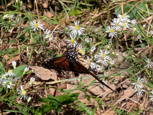
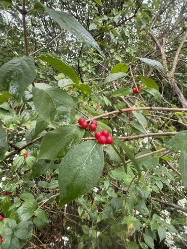
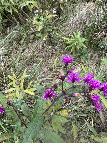
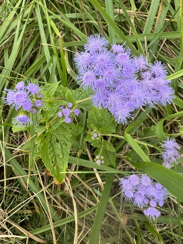
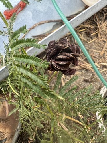
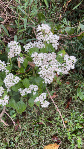
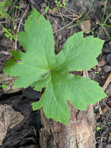

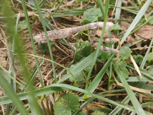
Research-grade observations from iNaturalist (within ~15 mi).
Nearest stream gauge
Events
Gallery
Sources
- • Wikipedia
- • US Census Bureau (ACS 5-year estimates)
- • Wikidata
- • USGS Earthquake Catalog (global feed)
- • GBIF (Global Biodiversity Information Facility)
- • iNaturalist
- • CDC PLACES
- • Open-Meteo / sunrise-sunset.org
- • Wikipedia Pageviews API
- • Open Library