Browse / United States / Ohio / Columbus
Columbus
Ohiocity

Columbus
Total population
931,551
Median home value
$279,900
Bachelor's+
Median income
$67,084
Founded
1812
Air quality index
Demographic figures from US Census Bureau · ACS 5-year estimates. Overview below cites Wikipedia and may reference a different year.
- Flood Watch · SevereFlood Watch issued September 20 at 1:07PM EDT until September 21 at 8:00AM EDT by NWS Wilmington OH
Source: NOAA National Weather Service.
City facts
Sister cities
Facts from Wikidata (CC0).
Overview
Columbus is the capital and most populous city of the U.S. state of Ohio. With a population of 905,748 at the 2020 census, it is the 14th-most populous city in the U.S., second-most populous city in the Midwest, and third-most populous U.S. state capital. The Columbus metropolitan area, with an estimated 2.23 million residents, is the largest metropolitan area entirely in Ohio and 32nd-largest metropolitan area in the U.S. Columbus is the county seat of Franklin County; it also extends into Delaware and Fairfield counties.
Read more on WikipediaHistory & geography
History
Between 1000 B.C. and 1700 A.D., the Columbus metropolitan area was a center to indigenous cultures known as the Mound Builders, including the Adena, Hopewell and Fort Ancient peoples. Remaining physical evidence of the cultures are their burial mounds and what they contained. Most of Central Ohio's remaining mounds are located outside of Columbus city boundaries, though the Shrum Mound is maintained, now as part of a public park and historic site. The city's Mound Street derives its name from a mound that existed by the intersection of Mound and High Streets. The mound's clay was used in bricks for most of the city's initial brick buildings; many were subsequently used in the Ohio Statehouse. The city's Ohio History Center maintains a collection of artifacts from these cultures. The area including present-day Columbus once comprised the Ohio Country, under the nominal control of the French colonial empire through the Viceroyalty of New France from 1663 until 1763. In the 18th century, European traders flocked to the area, attracted by the fur trade. The area was often caught between warring factions, including American Indian and European interests. In the 1740s, Pennsylvania traders overran the territory until the French forcibly evicted them. Fighting for control of the territory in the French and Indian War became part of the Seven Years' War. Up until the American Revolution, Central Ohio had continuously been the home of numerous indigenous villages. A Mingo village was located at the forks of the Scioto and Olentangy rivers, with Shawnee villages to the south and Wyandot and Delaware villages to the north. Colonial militiamen burned down the Mingo village in 1774 during a raid. After the American Revolution, the Virginia Military District became part of the…
Geography
The confluence of the Scioto and Olentangy rivers is just northwest of Downtown Columbus. Several smaller tributaries course through the Columbus metropolitan area, including Alum Creek, Big Walnut Creek and Darby Creek. Columbus is considered to have relatively flat topography thanks to a large glacier that covered most of Ohio during the Wisconsin Ice Age. However, there are sizable differences in elevation through the area, with the high point of Franklin County being above sea level near New Albany, and the low point being where the Scioto River leaves the county near Lockbourne. Several ravines near the rivers and creeks also add variety to the landscape. Tributaries to Alum Creek and the Olentangy River cut through shale, while tributaries to the Scioto River cut through limestone. The numerous rivers and streams beside low-lying areas in Central Ohio contribute to a history of flooding in the region; the most significant was the Great Flood of 1913 in Columbus, Ohio. The city has a total area of , of which is land and is water. Columbus has the largest land area of any Ohio city; this is due to Jim Rhodes's tactic to annex suburbs while serving as mayor. As surrounding communities grew or were constructed, they came to require access to waterlines, which was under the sole control of the municipal water system. Rhodes told these communities that if they wanted water, they would have to submit to assimilation into Columbus. Columbus has a wide diversity of neighborhoods with different characters, and is thus sometimes known as a "city of neighborhoods". Some of the most prominent neighborhoods include the Arena District, the Brewery District, Clintonville, Franklinton, German Village, The Short North and Victorian Village. The lowest recorded temperature…
Excerpted from the corresponding Wikipedia article (CC BY-SA).
Demographics & economy
Race & ethnicity
Source: US Census Bureau — American Community Survey, 5-year estimates.
Geography
Coordinates & boundaries from the US Census TIGER/Line shapefiles.
Climate
Current forecast
Forecast for Columbus, OH from NOAA NWS API.
Air quality
Current readings from Open-Meteo Air Quality API (Copernicus CAMS European reanalysis).
Industrial & pollution facilities
Natural hazard risk
Health (adults)
Age-adjusted prevalence estimates from CDC PLACES (latest release).
Walkability
Amenities nearby
Wildlife & biodiversity
Most-observed species
- Northern CardinalCardinalis cardinalis (Linnaeus, 1758) · Aves74,604
- American RobinTurdus migratorius Linnaeus, 1766 · Aves68,066
- Blue JayCyanocitta cristata (Linnaeus, 1758) · Aves58,692
- Carolina ChickadeePoecile carolinensis (Audubon, 1834) · Aves55,441
- Downy WoodpeckerDryobates pubescens (Linnaeus, 1766) · Aves47,184
- American GoldfinchSpinus tristis (Linnaeus, 1758) · Aves47,049
- Mourning DoveZenaida macroura (Linnaeus, 1758) · Aves46,840
- American CrowCorvus brachyrhynchos C.L.Brehm, 1822 · Aves46,436
Citizen-science & research observations from the Global Biodiversity Information Facility (GBIF).
Schools
Largest nearby schools
- Lincoln High SchoolHigh · Gahanna · 2,363 students · 19.9:1 ratio
- KIPP ColumbusOther · Columbus · 1,920 students · 17.1:1 ratio
- Grove City High SchoolHigh · Grove City · 1,881 students · 20.9:1 ratio
- Upper Arlington High SchoolHigh · Upper Arlington · 1,867 students · 22.5:1 ratio
- Westland High SchoolHigh · Galloway · 1,832 students · 20.8:1 ratio
- Groveport Madison High SchoolHigh · Groveport · 1,831 students · 21:1 ratio
- Thomas Worthington High SchoolHigh · Worthington · 1,826 students · 17.6:1 ratio
- Central Crossing High SchoolHigh · Grove City · 1,638 students · 20:1 ratio
Public K–12 schools within ~10 mi from Urban Institute Education Data Portal (NCES Common Core of Data, 2022).
Earthquake history
Most recent
- M 2.5 — 2026-02-222 km NE of Hillsboro, Ohio
- M 3.4 — 2017-05-241 km S of McArthur, Ohio
- M 2.6 — 2015-02-118 km SE of Richmond Dale, Ohio
- M 3.5 — 2013-11-202 km SW of Buchtel, Ohio
Events from the USGS Earthquake Catalog (global) (FDSN Event Web Service).
Photos
Sights & places nearby
Notable people from here


People born within ~10 km, from Wikidata (CC0). Click any name for their Wikipedia article.
Nearby places in Ohio
- Marble Cliff4 mi away
- Minerva Park6.7 mi away
- Lockbourne12.1 mi away
- Canal Winchester12.9 mi away · pop. 10,170
- Darbydale13.4 mi away · pop. 737
- Pickerington13.5 mi away · pop. 23,094
- Pataskala14.2 mi away
- Lithopolis14.7 mi away
- Orient15.1 mi away
- Harrisburg15.4 mi away · pop. 306
- Plain City17.5 mi away
- Ashville18 mi away
Geography & sun
Elevation, sunrise/sunset and daylight from Open-Meteo. Solar climatology from NASA POWER.
Nearby airports
Public attention
Pageview totals from the Wikimedia Pageviews API.
Books about Columbus


Search results from Open Library.
Recent natural events nearby
- Hurricane IsaiasSevere Storms · 2026-10-11 · 180 mi
Wildfires, storms and other events from NASA EONET (last 12 months, within 250 mi).
Ground air-quality sensors
Recently spotted species
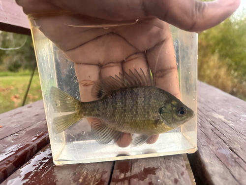
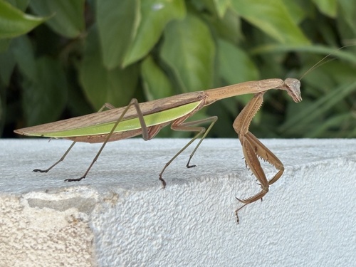
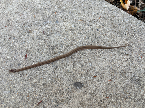

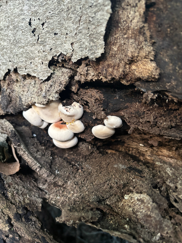
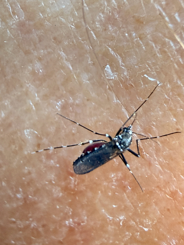
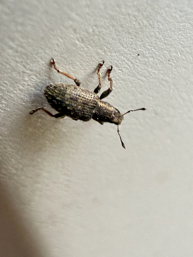
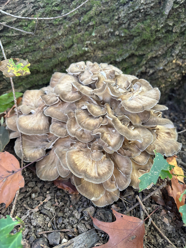

Research-grade observations from iNaturalist (within ~15 mi).
Nearest stream gauge
Events
Notable, recurring, and historical events associated with Columbus, sourced from Wikidata.
- Feb 28, 2025
- Aug 16, 2023
- George Floyd protests and riots in Columbus, OhioJan 1, 2020demonstration
Source: Wikidata (CC0).
Gallery
Geotagged photos within ~6 miles of Columbus, from Wikimedia Commons contributors.
 0.1 mi
 0.2 mi
.png) 0.5 mi
0.5 mi 0.5 mi
 0.5 mi
 0.5 mi
 0.5 mi
 0.5 mi
 0.5 mi
 0.5 mi
 0.5 mi
 0.5 mi
 0.5 mi
.jpg) 0.6 mi
0.6 mi 0.6 mi
 0.6 mi
 0.6 mi
 0.6 mi
 0.6 mi
 0.6 mi
 0.6 mi
 0.6 mi
 0.6 mi
 0.6 mi
Photos via Wikimedia Commons — see each image page for license & attribution.
Sources
- • Wikipedia
- • US Census Bureau (ACS 5-year estimates)
- • NOAA National Weather Service
- • Wikimedia Commons
- • Wikidata
- • Open-Meteo Air Quality (CAMS)
- • USGS Earthquake Catalog (global feed)
- • NCES via Urban Institute Education Data Portal
- • GBIF (Global Biodiversity Information Facility)
- • iNaturalist
- • CDC PLACES
- • Open-Elevation
- • Open-Meteo / sunrise-sunset.org
- • Wikipedia Pageviews API
- • Open Library
- • NASA EONET