Browse / United States / Ohio / Conneaut
Conneaut
Ohiocity

Conneaut
Total population
12,357
Median home value
$132,400
Bachelor's+
Median income
$61,741
Founded
1799
Demographic figures from US Census Bureau · ACS 5-year estimates. Overview below cites Wikipedia and may reference a different year.
City facts
Facts from Wikidata (CC0).
Overview
Conneaut is a city in Ashtabula County, Ohio, United States. It is settled along Lake Erie at the mouth of Conneaut Creek, 66 miles (106 km) northeast of Cleveland, and is the northernmost city in Ohio. The population was 12,318 at the 2020 census. Conneaut is part of the Cleveland metropolitan area.
Read more on WikipediaHistory & geography
History
Conneaut is located on an old Native American trail, later used by early westbound pioneers. The name comes from the Seneca language word "Koniyat" and is of disputed meaning. A Mississauga village was located at or near Conneaut in about 1747. In 1796, surveyors for the Connecticut Land Company built a log storehouse here, but the permanent settlement dates from 1798. In 1832 Conneaut was incorporated, and was described in 1833 as having a printing office, one meeting house, two taverns, and several stores and shops. It became a city in 1898. On March 27, 1953, a three-train collision near Conneaut killed 21 people.
Geography
According to the United States Census Bureau, the city has a total area of , of which is land and is water. Conneaut is situated along Lake Erie at the mouth of Conneaut Creek. Conneaut is located in the northeasternmost corner of Ohio, bordering the state of Pennsylvania to the east and has within its corporate city limits, making it the 15th-largest city in Ohio by total land area. Conneaut is a mixture of urban areas and rural farmland. The city has over of shoreline along Lake Erie, with beaches, boating facilities and a healthy summer tourist trade. According to the Köppen climate classification, Conneaut has a continental maritime climate (Cfb) with warm to hot summers and cool to mild winters moderated by Lake Erie. Conneaut experiences seasonal lag due to the proximity of Lake Erie.
Excerpted from the corresponding Wikipedia article (CC BY-SA).
Demographics & economy
Race & ethnicity
Source: US Census Bureau — American Community Survey, 5-year estimates.
Geography
Coordinates & boundaries from the US Census TIGER/Line shapefiles.
Climate
Current forecast
Forecast for Conneaut, OH from NOAA NWS API.
Air quality
Industrial & pollution facilities
Natural hazard risk
Health (adults)
Age-adjusted prevalence estimates from CDC PLACES (latest release).
Walkability
Amenities nearby
Wildlife & biodiversity
Most-observed species
- Canada Goose (canadensis Group)Branta canadensis (Linnaeus, 1758) · Aves5,204
- American CrowCorvus brachyrhynchos C.L.Brehm, 1822 · Aves2,882
- Autumn MeadowhawkSympetrum vicinum (Hagen, 1861) · Insecta2,460
- Song SparrowMelospiza melodia (A.Wilson, 1810) · Aves2,449
- Ring-billed GullLarus delawarensis Ord, 1815 · Aves2,410
- Fragile ForktailIschnura posita (Hagen, 1861) · Insecta2,406
- Northern CardinalCardinalis cardinalis (Linnaeus, 1758) · Aves2,229
- Turkey VultureCathartes aura (Linnaeus, 1758) · Aves2,203
Citizen-science & research observations from the Global Biodiversity Information Facility (GBIF).
Schools
Earthquake history
Most recent
- M 2.9 — 2026-03-053 km SW of Madison, Ohio
- M 2.7 — 2026-01-064 km ENE of North Madison, Ohio
- M 2.5 — 2025-05-124 km ESE of Madison, Ohio
- M 2.6 — 2024-06-011 km E of Madison, Ohio
- M 2.6 — 2024-01-053 km SE of Madison, Ohio
- M 3.6 — 2023-08-287 km SE of Madison, Ohio
Events from the USGS Earthquake Catalog (global) (FDSN Event Web Service).
Photos
Sights & places nearby
Notable people from here


People born within ~10 km, from Wikidata (CC0). Click any name for their Wikipedia article.
Nearby places in Ohio
Geography & sun
Elevation, sunrise/sunset and daylight from Open-Meteo. Solar climatology from NASA POWER.
Nearby airports
Public attention
Pageview totals from the Wikimedia Pageviews API.
Books about Conneaut

Search results from Open Library.
Recent natural events nearby
Ground air-quality sensors
Recently spotted species
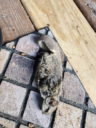
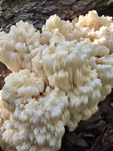
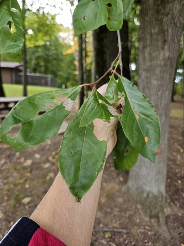
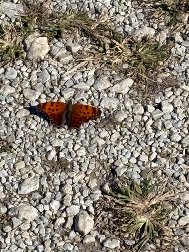
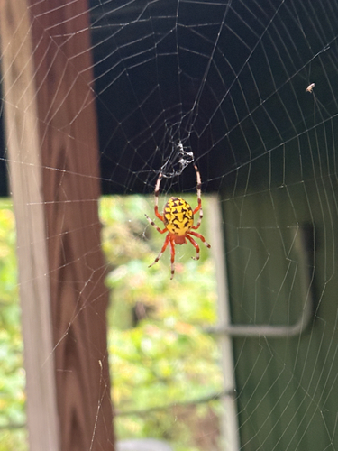
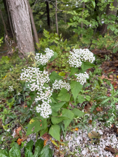
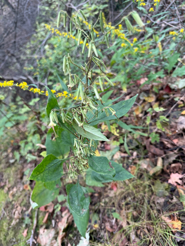
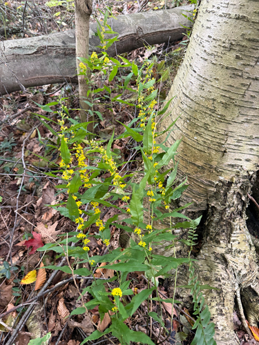
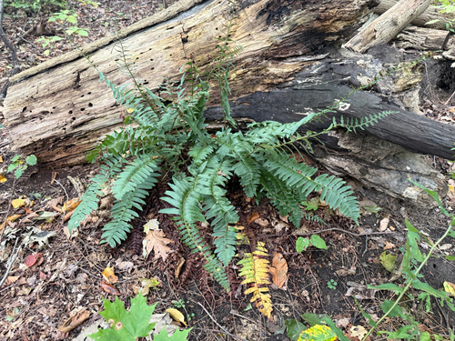
Research-grade observations from iNaturalist (within ~15 mi).
Nearest stream gauge
Events
Gallery
Sources
- • Wikipedia
- • US Census Bureau (ACS 5-year estimates)
- • NOAA National Weather Service
- • Wikidata
- • USGS Earthquake Catalog (global feed)
- • GBIF (Global Biodiversity Information Facility)
- • iNaturalist
- • CDC PLACES
- • Open-Meteo / sunrise-sunset.org
- • Wikipedia Pageviews API
- • Open Library