Browse / United States / Ohio / Doylestown
Doylestown
Ohiovillage

Doylestown
Total population
3,048
Median home value
$268,500
Bachelor's+
Median income
$79,181
Founded
1827
Demographic figures from US Census Bureau · ACS 5-year estimates. Overview below cites Wikipedia and may reference a different year.
City facts
Facts from Wikidata (CC0).
Overview
Doylestown is a village located atop the highest point in Wayne County, Ohio, United States. It is surrounded by Chippewa Township and located 13 miles (21 km) southwest of Akron. The village was founded in 1827 when William Doyle laid out a 40-lot town site at the crossing of two Native American trails on a hilltop.
Read more on WikipediaHistory & geography
History
In 1813, Thomas Frederick from Lancaster, Pennsylvania became the first settler to establish a homestead in what is now Doylestown. William Doyle, for whom the town was named, arrived in 1827 and purchased 50 acres from Frederick and two other early settlers. Doyle moved his family onto the land with the intent to found a new village. Five friends of Doyle's from Pennsylvania were convinced to bring their families and join Doyle to help settle the new village. Construction and agriculture remained important industries in Doylestown throughout the 20th century as well. With the exception of two small areas zoned for light industrial bordering Doylestown's municipal boundary, the entirety of the village is surrounded by areas zoned by Chippewa Township as "suburban residential", though much of the area is still used for agriculture as well.
Geography
According to the United States Census Bureau, the village has a total area of , all of it land. Doylestown is located atop a hill, with most of the town including the uptown area located at approximately 1,250 feet above sea level. A handful of small streams begin at springs on the slopes of the hill and flow from the higher elevations into larger creeks surrounding the village. Silver Creek drains the town on the east, Mill Creek on the north and west, while Chippewa Creek drains the south side and collects both Mill and Silver Creeks. Where Silver Creek flows into Chippewa Creek just southeast of town, in Rogues' Hollow, the elevation is 950 feet. The town is located in the far northeastern corner of Wayne County. The center of Doylestown is located about a mile south of the Medina and Summit County lines and about two miles from the Summit County line to the east as well. The Summit County cities of Norton, Barberton and New Franklin are located directly across the county line to the north, northeast and east, respectively. Ohio State Route 585 skims the northern and eastern edges of the village as it heads southeast from Norton to Wooster. Ohio State Route 21 runs south–north about a mile east of the village beyond Silver Creek.
Excerpted from the corresponding Wikipedia article (CC BY-SA).
Demographics & economy
Race & ethnicity
Source: US Census Bureau — American Community Survey, 5-year estimates.
Geography
Coordinates & boundaries from the US Census TIGER/Line shapefiles.
Climate
Current forecast
Forecast for Doylestown, OH from NOAA NWS API.
Air quality
Industrial & pollution facilities
Natural hazard risk
Health (adults)
Age-adjusted prevalence estimates from CDC PLACES (latest release).
Walkability
Amenities nearby
Wildlife & biodiversity
Schools
Largest nearby schools
- Chippewa Jr./Sr. High SchoolHigh · Doylestown · 610 students · 17.9:1 ratio
- Orrville Elementary SchoolElementary · Orrville · 578 students · 14.1:1 ratio
- Orrville Middle SchoolMiddle · Orrville · 487 students · 16.2:1 ratio
- Orrville High SchoolHigh · Orrville · 420 students · 17.5:1 ratio
- Rittman Elementary SchoolElementary · Rittman · 401 students · 15.4:1 ratio
- Chippewa Intermediate SchoolElementary · Doylestown · 335 students · 18.6:1 ratio
- Hazel Harvey Elementary SchoolElementary · Doylestown · 308 students · 17.1:1 ratio
- Rittman High SchoolHigh · Rittman · 231 students · 13.6:1 ratio
Public K–12 schools within ~10 mi from Urban Institute Education Data Portal (NCES Common Core of Data, 2022).
Earthquake history
Photos
Sights & places nearby
Notable people from here


People born within ~10 km, from Wikidata (CC0). Click any name for their Wikipedia article.
Nearby places in Ohio
- Norton4.8 mi away · pop. 11,524
- Marshallville5.2 mi away
- New Franklin5.9 mi away
- Canal Fulton7.8 mi away · pop. 5,337
- Portage Lakes8.6 mi away
- North Lawrence9.3 mi away
- Orrville9.4 mi away
- Pigeon Creek9.8 mi away
- Greentown15.6 mi away · pop. 2,993
- Massillon15.6 mi away · pop. 32,146
- Mogadore16.1 mi away
- Perry Heights16.8 mi away
Geography & sun
Elevation, sunrise/sunset and daylight from Open-Meteo. Solar climatology from NASA POWER.
Nearby airports
Public attention
Pageview totals from the Wikimedia Pageviews API.
Books about Doylestown

Search results from Open Library.
Recent natural events nearby
Ground air-quality sensors
Recently spotted species



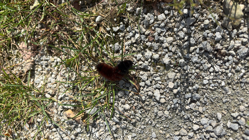

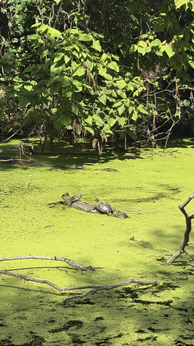
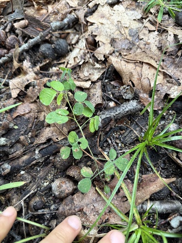

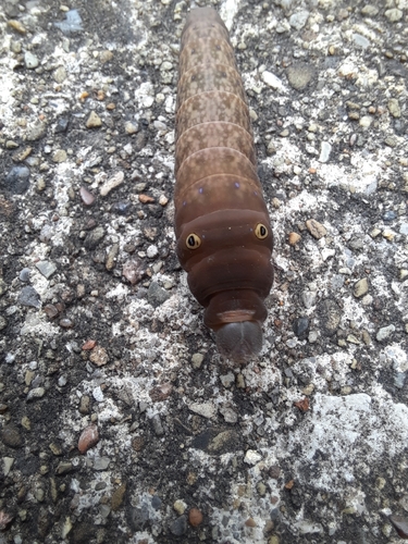
Research-grade observations from iNaturalist (within ~15 mi).
Nearest stream gauge
Events
Gallery
Sources
- • Wikipedia
- • US Census Bureau (ACS 5-year estimates)
- • NOAA National Weather Service
- • Wikidata
- • NCES via Urban Institute Education Data Portal
- • iNaturalist
- • CDC PLACES
- • Open-Meteo / sunrise-sunset.org
- • Wikipedia Pageviews API
- • Open Library