Browse / United States / Ohio / Euclid
Euclid
Ohiocity

Euclid
Total population
48,823
Median home value
$126,500
Bachelor's+
Median income
$50,285
Founded
1796
Demographic figures from US Census Bureau · ACS 5-year estimates. Overview below cites Wikipedia and may reference a different year.
- Beach Hazards Statement · ModerateBeach Hazards Statement issued September 22 at 1:27PM EDT until September 23 at 10:00PM EDT by NWS Cleveland OH
Source: NOAA National Weather Service.
City facts
Facts from Wikidata (CC0).
Overview
Euclid is a city in Cuyahoga County, Ohio, United States. Located on the southern shore of Lake Erie, it is an inner ring suburb of Cleveland. The population was 49,692 at the 2020 census, making it the fourth largest city in Cuyahoga County.
Read more on WikipediaHistory & geography
History
The City of Euclid was originally a part of Euclid Township, first mapped in 1796 and named for Euclid of Alexandria, the ancient Greek mathematician. The first sparse settlement in the township began in 1798, with major settlement beginning in the spring of 1804. The first settlers in what is now the City of Euclid were Joseph and Chloe Burke, David and Mary Dille and William and Jamima Coleman, and their children. Following the Civil War the lake plain of Euclid Township was known for numerous excellent vineyards. Euclid Village incorporated out of the northeast portion of the township in 1903. It developed as an industrial center in the early 20th century, and became a city in 1930. Euclid is the city where Charles F. Brush created the Arc Lamp in 1876. The cordless telephone was invented in Euclid by George Sweigert in 1969. Euclid is the site of the 1926 U.S. Supreme Court case Village of Euclid v. Ambler Realty Co. The case opened the doors for municipalities across the United States to establish zoning ordinances. In June 2011, Lincoln Electric installed a 2.5 Megawatt wind turbine. At 443 feet, it is the largest in Ohio and one of the largest in North America
Geography
Euclid is located at (41.595563, -81.519176). According to the United States Census Bureau, the city has a total area of , of which is land and is water. It is on the shore of Lake Erie, with a beachfront area along its north edge. Bordering Euclid are Cleveland on the west, South Euclid and Richmond Heights on the south, Willowick, Wickliffe, and Willoughby Hills on the east, and Lake Erie on the north. It is part of the Lake Erie Snowbelt region, prone to snow squalls blowing off Lake Erie, particularly before the lake freezes over in winter.
Excerpted from the corresponding Wikipedia article (CC BY-SA).
Demographics & economy
Race & ethnicity
Source: US Census Bureau — American Community Survey, 5-year estimates.
Geography
Coordinates & boundaries from the US Census TIGER/Line shapefiles.
Climate
Current forecast
Forecast for Euclid, OH from NOAA NWS API.
Air quality
Industrial & pollution facilities
Natural hazard risk
Health (adults)
Age-adjusted prevalence estimates from CDC PLACES (latest release).
Walkability
Amenities nearby
Wildlife & biodiversity
Most-observed species
- American RobinTurdus migratorius Linnaeus, 1766 · Aves42,062
- Northern CardinalCardinalis cardinalis (Linnaeus, 1758) · Aves38,130
- Blue JayCyanocitta cristata (Linnaeus, 1758) · Aves37,204
- Canada Goose (canadensis Group)Branta canadensis (Linnaeus, 1758) · Aves33,076
- Red-winged BlackbirdAgelaius phoeniceus (Linnaeus, 1766) · Aves32,241
- Song SparrowMelospiza melodia (A.Wilson, 1810) · Aves31,860
- MallardAnas platyrhynchos Linnaeus, 1758 · Aves31,086
- Ring-billed GullLarus delawarensis Ord, 1815 · Aves29,646
Citizen-science & research observations from the Global Biodiversity Information Facility (GBIF).
Schools
Largest nearby schools
- Ohio Connections Academy IncOther · Cleveland · 5,380 students · 39:1 ratio
- Cleveland Heights High SchoolHigh · Cleveland Heights · 1,664 students · 15.4:1 ratio
- Euclid High SchoolHigh · Euclid · 1,618 students · 15.6:1 ratio
- Mayfield High SchoolHigh · Cleveland · 1,598 students · 19:1 ratio
- Shaker Hts High SchoolHigh · Shaker Heights · 1,498 students · 13.7:1 ratio
- Brush High SchoolHigh · Lyndhurst · 1,041 students · 21.2:1 ratio
- Euclid Middle SchoolMiddle · Euclid · 934 students · 12.8:1 ratio
- Mayfield Middle SchoolMiddle · Cleveland · 933 students · 17.3:1 ratio
Public K–12 schools within ~10 mi from Urban Institute Education Data Portal (NCES Common Core of Data, 2022).
Earthquake history
Most recent
- M 2.9 — 2026-03-053 km SW of Madison, Ohio
- M 2.7 — 2026-01-064 km ENE of North Madison, Ohio
- M 2.5 — 2025-05-124 km ESE of Madison, Ohio
- M 2.6 — 2024-06-011 km E of Madison, Ohio
- M 3 — 2024-03-302 km SSW of Maple Ridge, Ohio
- M 2.6 — 2024-01-053 km SE of Madison, Ohio
Events from the USGS Earthquake Catalog (global) (FDSN Event Web Service).
Photos
Sights & places nearby
Notable people from here


People born within ~10 km, from Wikidata (CC0). Click any name for their Wikipedia article.
Nearby places in Ohio
- Lyndhurst5.4 mi away
- Mayfield5.4 mi away
- Lakeline5.7 mi away
- Eastlake6.5 mi away · pop. 17,493
- Gates Mills7 mi away · pop. 2,207
- Pepper Pike8.4 mi away
- Kirtland9.3 mi away · pop. 6,911
- Mentor-on-the-Lake11.7 mi away
- Bentleyville13.5 mi away
- Oakwood15.6 mi away · pop. 3,518
- Bainbridge16.9 mi away · pop. 8,623
- Northfield17.5 mi away
Geography & sun
Elevation, sunrise/sunset and daylight from Open-Meteo. Solar climatology from NASA POWER.
Nearby airports
Public attention
Pageview totals from the Wikimedia Pageviews API.
Books about Euclid

Search results from Open Library.
Recent natural events nearby
Ground air-quality sensors
Recently spotted species
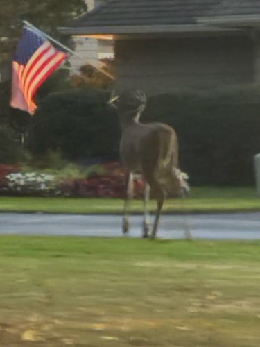
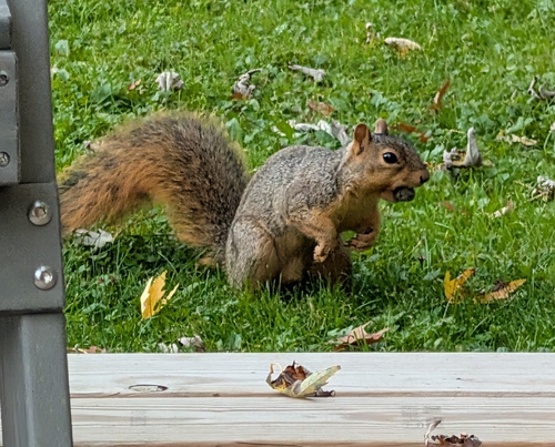

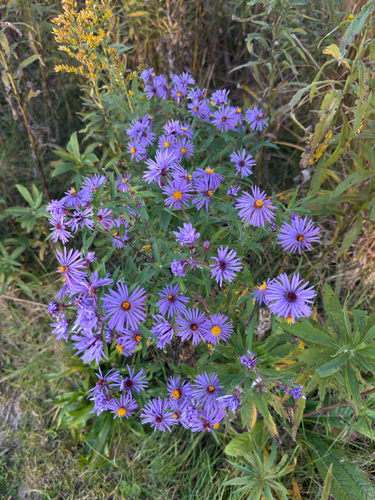
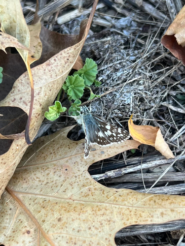
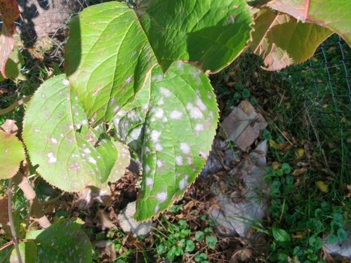
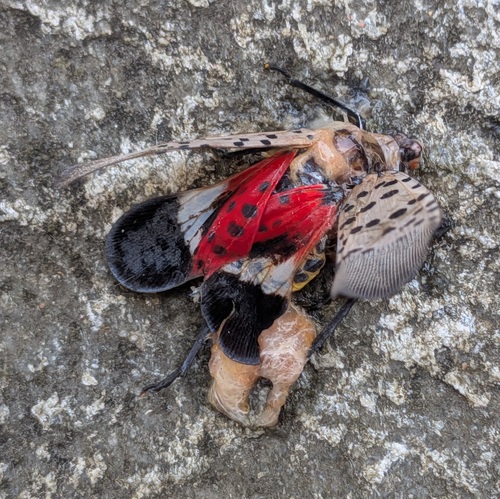
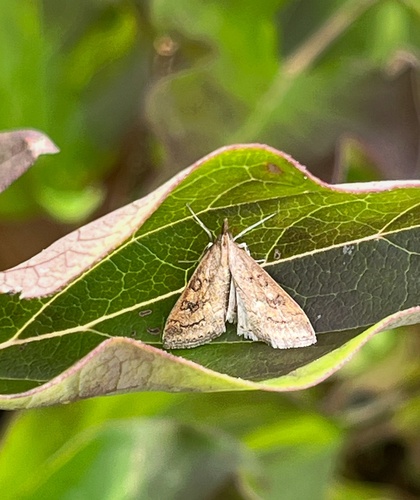
Research-grade observations from iNaturalist (within ~15 mi).
Nearest stream gauge
Live readings from USGS NWIS · measured 2026-10-13 05:15 UTC.
Events
Gallery
Sources
- • Wikipedia
- • US Census Bureau (ACS 5-year estimates)
- • NOAA National Weather Service
- • Wikidata
- • USGS Earthquake Catalog (global feed)
- • USGS NWIS (water data)
- • NCES via Urban Institute Education Data Portal
- • GBIF (Global Biodiversity Information Facility)
- • iNaturalist
- • CDC PLACES
- • Open-Meteo / sunrise-sunset.org
- • Wikipedia Pageviews API
- • Open Library