Browse / United States / Ohio / Fairborn
Fairborn
Ohiocity

Fairborn
Total population
34,534
Median home value
$175,000
Bachelor's+
Median income
$61,751
Founded
1950
Demographic figures from US Census Bureau · ACS 5-year estimates. Overview below cites Wikipedia and may reference a different year.
City facts
Facts from Wikidata (CC0).
Overview
Fairborn is a city in Greene County, Ohio, United States. The population was 34,620 at the 2020 census. It is a suburb of Dayton and part of the Dayton metropolitan area. The city is home to Wright State University, which serves nearly 12,000 undergraduate and graduate students. The city also hosts the disaster training facility known informally as Calamityville.
Read more on WikipediaHistory & geography
History
Fairborn was formed from the union in 1950 of the two villages of Fairfield and Osborn after a charter was signed on January 1st. Fairfield was founded by European Americans in 1816 and Osborn in 1850.The city was Incorporated on August 1st, 1950. The area of the village of Fairfield was settled by European Americans before Ohio was admitted as a state. The first log cabin was built in 1799 by George Greiner. Pioneers migrating northward and westward from Kentucky and Virginia considered this area near the Mad River desirable for settlement. They were encroaching on territory of the native Shawnee, who sometimes raided the village. Settlers retaliated. No massacres were recorded but both sides engaged in taking prisoners. Two local accounts relate to the origin of the name "Fairfield". A local Native American chief, possibly a Shawnee, made peace and exchanged prisoners with leaders of the settlement. He said to William Cozad that, when he looked out from Reed's Hill over the town, {{cquote|Yonder lies a fair field. I see thousands of white men moving about in that beautiful fair field. From 1950 to 1970, the city grew to six times its former population, surpassing Xenia (the county seat) as the most populous city in the county, due largely to development and expansion of the nearby Wright-Patterson Air Force Base. Southwestern Portland Cement, another major employer in the region, operated the largest factory in the city during this period, mining the locally exposed Brassfield Formation. Until the mid-1960s, the city of Fairborn prohibited African American residents and declared it a sundown town. Officials at Wright-Patterson Air Force Base are credited with working with the city residents to end such policies, especially as the United States military was…
Geography
According to the United States Census Bureau, the city has a total area of , of which, is land and is water. of the land area was zoned as some form of residential while the remaining was either commercial, agricultural, or industrial zoning.
Excerpted from the corresponding Wikipedia article (CC BY-SA).
Demographics & economy
Race & ethnicity
Source: US Census Bureau — American Community Survey, 5-year estimates.
Geography
Coordinates & boundaries from the US Census TIGER/Line shapefiles.
Climate
Current forecast
Forecast for Fairborn, OH from NOAA NWS API.
Air quality
Industrial & pollution facilities
Natural hazard risk
Health (adults)
Age-adjusted prevalence estimates from CDC PLACES (latest release).
Walkability
Amenities nearby
Wildlife & biodiversity
Most-observed species
- Northern CardinalCardinalis cardinalis (Linnaeus, 1758) · Aves20,295
- American RobinTurdus migratorius Linnaeus, 1766 · Aves20,155
- Carolina ChickadeePoecile carolinensis (Audubon, 1834) · Aves14,192
- Mourning DoveZenaida macroura (Linnaeus, 1758) · Aves14,093
- Blue JayCyanocitta cristata (Linnaeus, 1758) · Aves13,332
- Red-bellied WoodpeckerMelanerpes carolinus (Linnaeus, 1758) · Aves13,097
- European StarlingSturnus vulgaris Linnaeus, 1758 · Aves12,634
- Song SparrowMelospiza melodia (A.Wilson, 1810) · Aves12,393
Citizen-science & research observations from the Global Biodiversity Information Facility (GBIF).
Schools
Earthquake history
Most recent
- M 2.5 — 2026-02-222 km NE of Hillsboro, Ohio
- M 2.9 — 2023-12-095 km W of Jackson Center, Ohio
- M 2.8 — 2008-09-305 km SW of Kettlersville, Ohio
Events from the USGS Earthquake Catalog (global) (FDSN Event Web Service).
Photos
Sights & places nearby
Notable people from here
Nearby places in Ohio
Geography & sun
Elevation, sunrise/sunset and daylight from Open-Meteo. Solar climatology from NASA POWER.
Nearby airports
Public attention
Pageview totals from the Wikimedia Pageviews API.
Books about Fairborn

Search results from Open Library.
Recent natural events nearby
Ground air-quality sensors
Recently spotted species


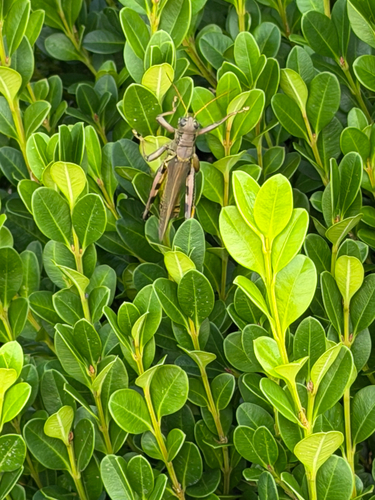

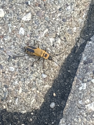


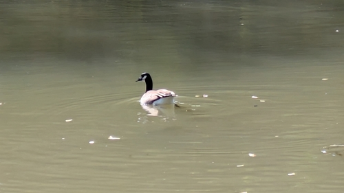

Research-grade observations from iNaturalist (within ~15 mi).
Nearest stream gauge
Events
Gallery
Sources
- • Wikipedia
- • US Census Bureau (ACS 5-year estimates)
- • NOAA National Weather Service
- • Wikidata
- • USGS Earthquake Catalog (global feed)
- • GBIF (Global Biodiversity Information Facility)
- • iNaturalist
- • CDC PLACES
- • Open-Meteo / sunrise-sunset.org
- • Wikipedia Pageviews API
- • Open Library