Browse / United States / Ohio / Fairfield
Fairfield
Ohiocity

Fairfield
Total population
44,828
Median home value
$234,500
Bachelor's+
Median income
$77,937
Founded
1787
Demographic figures from US Census Bureau · ACS 5-year estimates. Overview below cites Wikipedia and may reference a different year.
- Freeze Watch · SevereFreeze Watch issued October 16 at 1:30PM EDT until October 18 at 9:00AM EDT by NWS Wilmington OH
Source: NOAA National Weather Service.
City facts
Facts from Wikidata (CC0).
Overview
Fairfield is a city in southern Butler County, Ohio, United States. It is a suburb located about 25 miles (40 km) north of Cincinnati and is situated on the east bank of the Great Miami River. The population was 44,907 as of the 2020 census. Incorporated in 1955 from portions of Fairfield Township, it includes the former hamlets of Symmes Corner, Fair Play, Furmandale, and Stockton. The Fairfield City School District is one of the largest in Ohio and serves both the city and Fairfield Township.
Read more on WikipediaHistory & geography
History
Prior to European settlement the Fairfield area was home to several Indian tribes, most prominently the Shawnee and the Miami. The prehistoric Hopewell and Adena peoples constructed numerous earthworks around the city, though most were unwittingly removed by early settlers in order to accommodate farm fields. The area that is now Fairfield was part of the original Symmes Purchase. Also known as the Miami Purchase, the region was acquired by Judge John Cleves Symmes from the Continental Congress in 1788 and included much of the land between the Little Miami and Great Miami rivers that became the present day counties of Hamilton, Butler, and Warren. As the area was settled hamlets developed to serve the surrounding countryside. Judge Symmes' great-nephew, Celadon Symmes, was the founder and first settler of Symmes Corner. Located at the intersection of Pleasant Avenue and Nilles Road it now serves as Fairfield's town center. The hamlet of Fair Play was located on the east bank of the Great Miami River. It was known for its mills, including Ohio's first paper mill. The community was destroyed by a flood in the late 1800s. Today the Miami Chapel Cemetery and the Fair Play School are some of the few remaining vestiges of the village. In the 1850s, the Cincinnati, Hamilton & Dayton Railway (today CSX) was extended through Fairfield, fostering the development of several communities. The villages of Schencks Station and Stockton were established along the rail line. Schencks Station was located near the present-day intersection of Symmes Road and State Route 4 and was named for local landowner Aaron Schenck. Stockton could be found at the crossroads of State Route 4 and Seward Road. Originally known as Jones Station, the village provided area farms with necessities…
Geography
According to the United States Census Bureau, the city has a total area of , of which is land and is water. The Butler County line serves as Fairfield's southern corporate boundary with a small portion of the City extending into Hamilton County. This portion contains no population. The city is bounded on the north by the City of Hamilton and the eponymously named Fairfield Township; the east by West Chester and Fairfield townships; the south by the cities of Springdale and Forest Park as well as Springfield and Colerain townships; and on the west by Fairfield and Ross townships. The city is bisected by a major rail line and is served by several interstate, federal and state highways which provide for excellent access. This transportation infrastructure has contributed to Fairfield's economic success. Most of Fairfield sits on top of the Great Miami Buried Valley Aquifer; one of the largest underground reservoirs in the Midwest. The aquifer provides a clean and safe source of drinking water for communities up and down the course of the Great Miami River. The cities of Fairfield, Hamilton and Cincinnati operate water production facilities within Fairfield corporate boundaries; all of which draw from the aquifer.
Excerpted from the corresponding Wikipedia article (CC BY-SA).
Demographics & economy
Race & ethnicity
Source: US Census Bureau — American Community Survey, 5-year estimates.
Geography
Coordinates & boundaries from the US Census TIGER/Line shapefiles.
Climate
Current forecast
Forecast for Fairfield, OH from NOAA NWS API.
Air quality
Industrial & pollution facilities
Natural hazard risk
Health (adults)
Age-adjusted prevalence estimates from CDC PLACES (latest release).
Walkability
Amenities nearby
Wildlife & biodiversity
Most-observed species
- Northern CardinalCardinalis cardinalis (Linnaeus, 1758) · Aves23,025
- American RobinTurdus migratorius Linnaeus, 1766 · Aves22,372
- Carolina ChickadeePoecile carolinensis (Audubon, 1834) · Aves18,817
- Mourning DoveZenaida macroura (Linnaeus, 1758) · Aves18,019
- Song SparrowMelospiza melodia (A.Wilson, 1810) · Aves16,807
- American GoldfinchSpinus tristis (Linnaeus, 1758) · Aves16,610
- Blue JayCyanocitta cristata (Linnaeus, 1758) · Aves16,479
- Canada Goose (canadensis Group)Branta canadensis (Linnaeus, 1758) · Aves15,138
Citizen-science & research observations from the Global Biodiversity Information Facility (GBIF).
Schools
Largest nearby schools
- Lakota West High SchoolHigh · West Chester · 2,740 students · 24.9:1 ratio
- Lakota East High SchoolHigh · Liberty Township · 2,552 students · 23.9:1 ratio
- Hamilton High SchoolHigh · Hamilton · 2,507 students · 22.2:1 ratio
- Fairfield High SchoolHigh · Fairfield · 2,200 students · 21.6:1 ratio
- Edgewood High SchoolHigh · Trenton · 1,167 students · 25.4:1 ratio
- Crossroads Middle SchoolMiddle · Fairfield · 1,135 students · 17.7:1 ratio
- Creekside Middle SchoolMiddle · Fairfield · 1,126 students · 19.1:1 ratio
- D Russel Lee Career-Technology CenterHigh · Hamilton · 1,028 students · 4.8:1 ratio
Public K–12 schools within ~10 mi from Urban Institute Education Data Portal (NCES Common Core of Data, 2022).
Earthquake history
Photos
Sights & places nearby
Notable people from here


People born within ~10 km, from Wikidata (CC0). Click any name for their Wikipedia article.
Nearby places in Ohio
Geography & sun
Elevation, sunrise/sunset and daylight from Open-Meteo. Solar climatology from NASA POWER.
Nearby airports
Public attention
Pageview totals from the Wikimedia Pageviews API.
Books about Fairfield
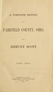
Search results from Open Library.
Recent natural events nearby
- Hurricane IsaiasSevere Storms · 2026-10-11 · 130 mi
Wildfires, storms and other events from NASA EONET (last 12 months, within 250 mi).
Ground air-quality sensors
Recently spotted species
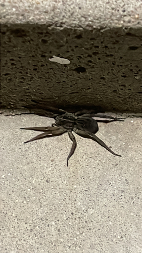
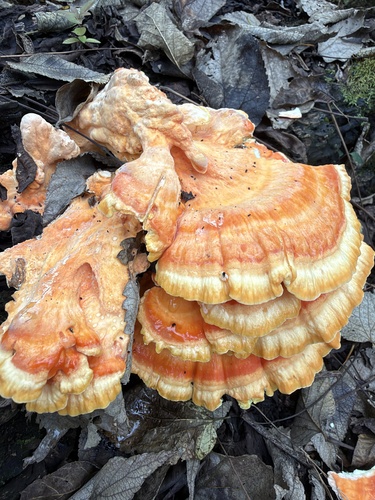
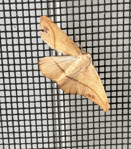
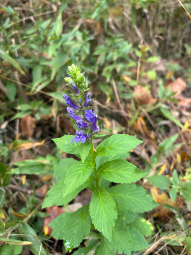
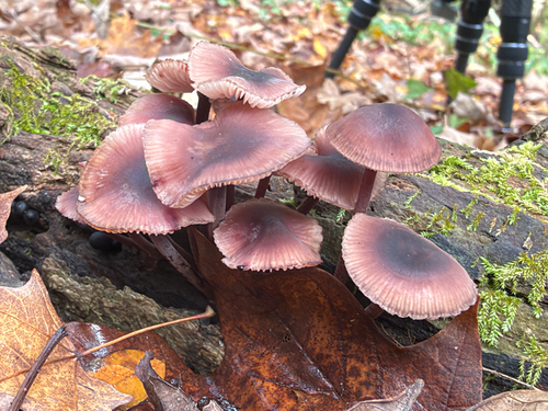
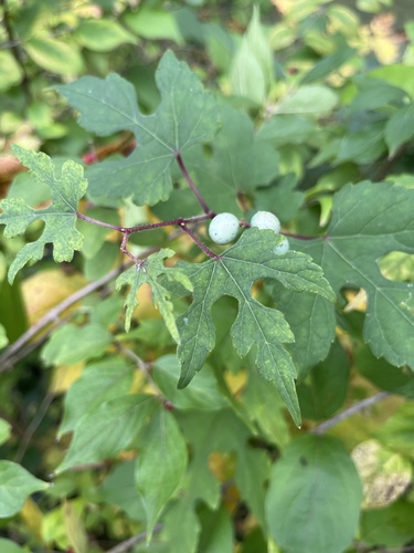
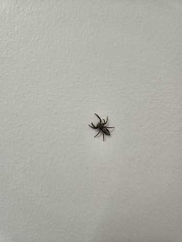
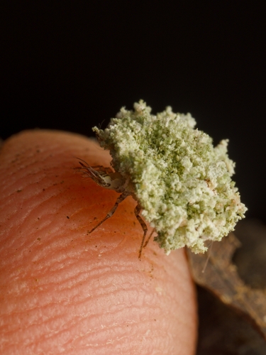
Research-grade observations from iNaturalist (within ~15 mi).
Nearest stream gauge
Live readings from USGS NWIS · measured 2026-10-16 18:30 UTC.
Events
Gallery
Sources
- • Wikipedia
- • US Census Bureau (ACS 5-year estimates)
- • NOAA National Weather Service
- • Wikidata
- • USGS NWIS (water data)
- • NCES via Urban Institute Education Data Portal
- • GBIF (Global Biodiversity Information Facility)
- • iNaturalist
- • CDC PLACES
- • Open-Meteo / sunrise-sunset.org
- • Wikipedia Pageviews API
- • Open Library
- • NASA EONET