Browse / United States / Ohio / Fostoria
Fostoria
Ohiocity

Fostoria
Total population
12,344
Median home value
$87,200
Bachelor's+
Median income
$54,151
Founded
1854
Demographic figures from US Census Bureau · ACS 5-year estimates. Overview below cites Wikipedia and may reference a different year.
City facts
Facts from Wikidata (CC0).
Overview
Fostoria is a city located at the convergence of Hancock, Seneca, and Wood counties in the northwestern part of the U.S. state of Ohio. The population was 13,046 at the 2020 census, slightly down from 13,441 at the 2010 census. It is approximately 40 miles (64 km) south of Toledo and 90 miles (140 km) north of Columbus. The community grew substantially during the end of the 19th century, coinciding with the northwest Ohio gas boom. Typical of Rust Belt cities, Fostoria peaked in size in 1970.
Read more on WikipediaHistory & geography
History
Fostoria was created in 1854 with the merger of the communities of Rome and Risdon. The combination of both communities' Methodist churches, on land donated by Charles W. Foster, led to the merger. To show their appreciation for Mr. Foster's generosity, the new community was named Fostoria. Charles W. Foster's son, Charles, became one of Fostoria's most famous citizens—becoming the 35th governor of Ohio and U.S. Secretary of the Treasury under President Benjamin Harrison. Although the boom in gas and glass is long over, railroads continue to be important to the community. More than 100 trains pass through Fostoria each day. The Fostoria Railroad Preservation Society, aided by a $815,760 grant from the Ohio Department of Transportation, completed a train viewing park in 2013 to help capitalize on the thousands of railfans who visit yearly.
Geography
According to the United States Census Bureau, the city has a total area of , of which is land and is water.
Excerpted from the corresponding Wikipedia article (CC BY-SA).
Demographics & economy
Race & ethnicity
Source: US Census Bureau — American Community Survey, 5-year estimates.
Geography
Coordinates & boundaries from the US Census TIGER/Line shapefiles.
Climate
Current forecast
Forecast for Fostoria, OH from NOAA NWS API.
Air quality
Industrial & pollution facilities
Natural hazard risk
Health (adults)
Walkability
Amenities nearby
Wildlife & biodiversity
Most-observed species
- American RobinTurdus migratorius Linnaeus, 1766 · Aves1,434
- Northern CardinalCardinalis cardinalis (Linnaeus, 1758) · Aves1,241
- Blue JayCyanocitta cristata (Linnaeus, 1758) · Aves1,077
- Mourning DoveZenaida macroura (Linnaeus, 1758) · Aves1,076
- American GoldfinchSpinus tristis (Linnaeus, 1758) · Aves962
- European StarlingSturnus vulgaris Linnaeus, 1758 · Aves952
- House SparrowPasser domesticus (Linnaeus, 1758) · Aves856
- Downy WoodpeckerDryobates pubescens (Linnaeus, 1766) · Aves856
Citizen-science & research observations from the Global Biodiversity Information Facility (GBIF).
Schools
Earthquake history
Most recent
- M 2.5 — 2024-03-184 km WSW of Millbury, Ohio
- M 2.9 — 2023-12-095 km W of Jackson Center, Ohio
- M 2.6 — 2023-05-203 km SSE of Walbridge, Ohio
- M 3.2 — 2020-08-212 km SSE of Detroit Beach, Michigan
- M 2.5 — 2016-02-076 km W of Put-in-Bay, Ohio
- M 2.5 — 2012-09-0717 km ESE of Stony Point, Michigan
Events from the USGS Earthquake Catalog (global) (FDSN Event Web Service).
Photos
Sights & places nearby
Notable people from here


People born within ~10 km, from Wikidata (CC0). Click any name for their Wikipedia article.
Nearby places in Ohio
Geography & sun
Elevation, sunrise/sunset and daylight from Open-Meteo. Solar climatology from NASA POWER.
Nearby airports
Public attention
Pageview totals from the Wikimedia Pageviews API.
Books about Fostoria


Search results from Open Library.
Recent natural events nearby
Ground air-quality sensors
Recently spotted species
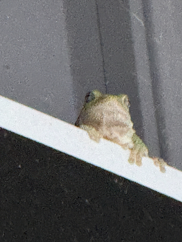
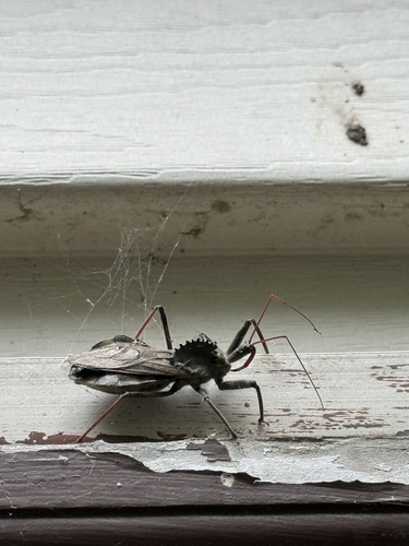
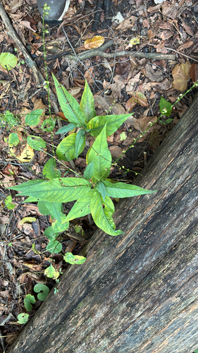
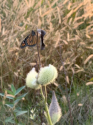
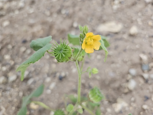
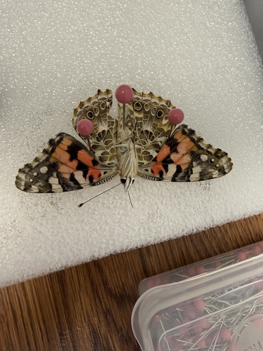
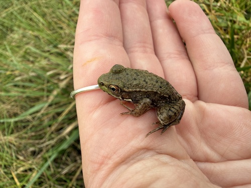
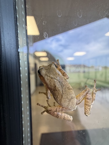
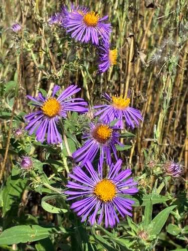
Research-grade observations from iNaturalist (within ~15 mi).
Nearest stream gauge
Events
Gallery
Sources
- • Wikipedia
- • US Census Bureau (ACS 5-year estimates)
- • NOAA National Weather Service
- • Wikidata
- • USGS Earthquake Catalog (global feed)
- • GBIF (Global Biodiversity Information Facility)
- • iNaturalist
- • Open-Meteo / sunrise-sunset.org
- • Wikipedia Pageviews API
- • Open Library