Browse / United States / Ohio / Gnadenhutten
Gnadenhutten
Ohiovillage

Gnadenhutten
Total population
1,111
Median home value
$117,900
Bachelor's+
Median income
$65,357
Demographic figures from US Census Bureau · ACS 5-year estimates. Overview below cites Wikipedia and may reference a different year.
City facts
Facts from Wikidata (CC0).
Overview
Gnadenhutten is a village located on the Tuscarawas River in Tuscarawas County, Ohio, United States. The population was 1,240 at the 2020 census. It is Ohio's oldest existing European founded settlement, being founded by Moravian Christians in 1772 and was the site of the Gnadenhutten massacre during the American Revolutionary War. It is part of the New Philadelphia–Dover micropolitan area.
Read more on WikipediaHistory & geography
History
Gnadenhutten, originally Gnadenhütten, was founded in October 1772 as the second settlement of German Americans and Lenape Indians affiliated with the Moravian Church. Tribes of Christian Lenni Lenape people had settled at Schoenbrunn nearby, founded months earlier by missionary David Zeisberger. On July 4, 1773, a baby boy was born to the Roth family, becoming the first white child known to be born in the Ohio territory. This community, originally led by the Christian Mohican chieftain Joshua (who died August 1 of the following year), had grown to about 200 persons by 1775. As pacifists, they remained neutral during the American Revolution and subsequent Revolutionary War. However, the British and their Indian Wyandot and Delaware allies suspected that members of the Christian Gnadenhutten, Schoenbrunn, and Salem communities had provided aid to American patriots. As a result, the British forced the Lenape tribespeople in the region to the Upper Sandusky area of the Ohio territory. Although three 4,000 acre tracts were reserved for Indians as an "act of indemnity", John Ettwein petitioned Congress in 1783 and the area was then opened to European American settlers. John Heckewelder from Pennsylvania built the first house in 1798, and Moravians remain in the town today. Few Native Americans chose to live there and they gave up title in 1823 after the Moravians had made many improvements. Gnadenhutten was on a major wagon road crossing the Tuscarawas River. The first Ohio Canal was dug nearby in 1825–1830, providing access to markets as well as further immigrants via Cleveland. A railroad linked to the area in 1853, further improving market access and allowing industrial development. A flood in 1913 destroyed the canal, which was not rebuilt as other means of…
Geography
According to the United States Census Bureau, the village has a total area of , all land.
Excerpted from the corresponding Wikipedia article (CC BY-SA).
Demographics & economy
Race & ethnicity
Source: US Census Bureau — American Community Survey, 5-year estimates.
Geography
Coordinates & boundaries from the US Census TIGER/Line shapefiles.
Climate
Current forecast
Forecast for Gnadenhutten, OH from NOAA NWS API.
Air quality
Industrial & pollution facilities
Natural hazard risk
Health (adults)
Age-adjusted prevalence estimates from CDC PLACES (latest release).
Walkability
Amenities nearby
Wildlife & biodiversity
Most-observed species
- American CrowCorvus brachyrhynchos C.L.Brehm, 1822 · Aves682
- American RobinTurdus migratorius Linnaeus, 1766 · Aves611
- Northern CardinalCardinalis cardinalis (Linnaeus, 1758) · Aves596
- Song SparrowMelospiza melodia (A.Wilson, 1810) · Aves518
- Blue JayCyanocitta cristata (Linnaeus, 1758) · Aves509
- Turkey VultureCathartes aura (Linnaeus, 1758) · Aves500
- Canada Goose (canadensis Group)Branta canadensis (Linnaeus, 1758) · Aves481
- Mourning DoveZenaida macroura (Linnaeus, 1758) · Aves440
Citizen-science & research observations from the Global Biodiversity Information Facility (GBIF).
Schools
Earthquake history
Most recent
- M 2.9 — 2025-05-093 km S of Pleasant City, Ohio
- M 2.8 — 2025-04-291 km SE of Pleasant City, Ohio
- M 3.1 — 2025-04-243 km S of Pleasant City, Ohio
- M 3.1 — 2025-04-223 km ESE of Buffalo, Ohio
- M 2.5 — 2024-09-114 km WNW of Claysville, Pennsylvania
- M 3 — 2024-03-302 km SSW of Maple Ridge, Ohio
Events from the USGS Earthquake Catalog (global) (FDSN Event Web Service).
Photos
Sights & places nearby
Notable people from here


People born within ~10 km, from Wikidata (CC0). Click any name for their Wikipedia article.
Nearby places in Ohio
- Dennison5.8 mi away · pop. 2,449
- Midvale6 mi away
- Newcomerstown10.7 mi away · pop. 3,677
- Freeport13.2 mi away · pop. 469
- Parral14.4 mi away
- Kimbolton16.5 mi away
- Mineral City17.1 mi away
- Plainfield18.7 mi away
- Magnolia21.4 mi away
- Canal Lewisville22.2 mi away
- Old Washington22.3 mi away · pop. 223
- Carrollton23.2 mi away
Geography & sun
Elevation, sunrise/sunset and daylight from Open-Meteo. Solar climatology from NASA POWER.
Nearby airports
Public attention
Pageview totals from the Wikimedia Pageviews API.
Books about Gnadenhutten

Search results from Open Library.
Recent natural events nearby
Ground air-quality sensors
Recently spotted species
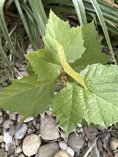
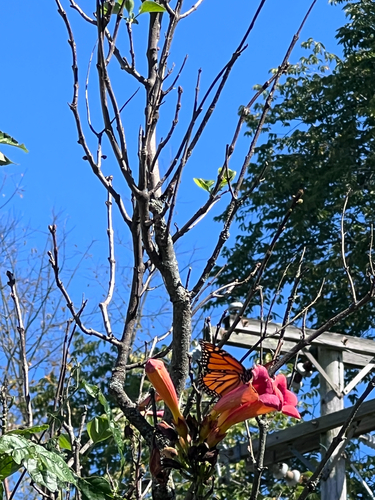

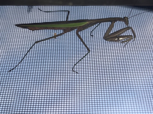
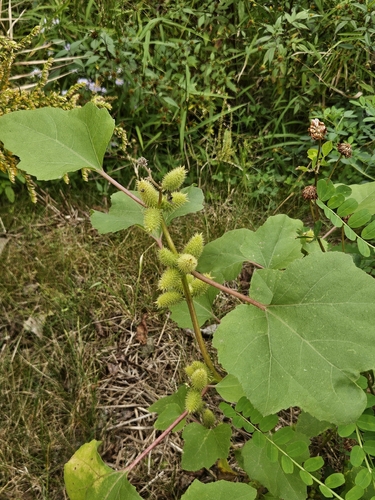
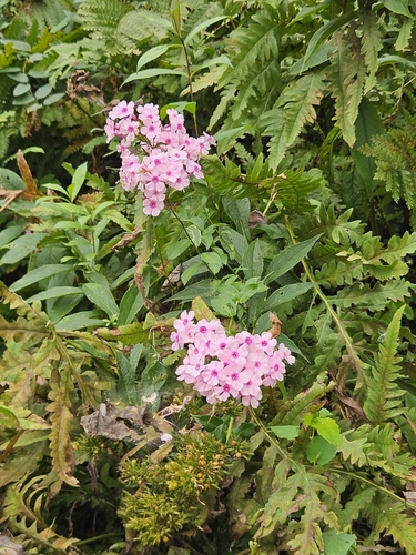
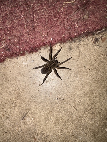

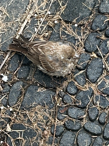
Research-grade observations from iNaturalist (within ~15 mi).
Nearest stream gauge
Events
Gallery
Sources
- • Wikipedia
- • US Census Bureau (ACS 5-year estimates)
- • NOAA National Weather Service
- • Wikidata
- • USGS Earthquake Catalog (global feed)
- • GBIF (Global Biodiversity Information Facility)
- • iNaturalist
- • CDC PLACES
- • Open-Meteo / sunrise-sunset.org
- • Wikipedia Pageviews API
- • Open Library