Browse / United States / Ohio / Kent
Kent
Ohiocity

Kent
Total population
27,116
Median home value
$219,900
Bachelor's+
Median income
$42,964
Founded
1805
Demographic figures from US Census Bureau · ACS 5-year estimates. Overview below cites Wikipedia and may reference a different year.
City facts
Facts from Wikidata (CC0).
Overview
Kent is a city in the U.S. state of Ohio and the largest city in Portage County. It is located along the Cuyahoga River in Northeast Ohio on the western edge of the county. The population was 28,215 at the 2020 census. The city is counted as part of the Akron metropolitan area and the larger Cleveland–Akron–Canton combined statistical area.
Read more on WikipediaHistory & geography
History
The region was originally inhabited by Native Americans, including the early Mound Builders. Around 1780, Captain Samuel Brady achieved notoriety for his activities in the area, including his leap of over the Cuyahoga River to avoid capture by a Native band. The site, known as Brady's Leap, is now a city park. Settlement by Europeans began in the late 1790s and early 19th century. As part of the Connecticut Western Reserve, the area was divided into survey townships in 1798 and almost all of what is now Kent was originally part of Town 3 Range 9, which would eventually be known as Franklin Township. Aaron Olmsted, a wealthy Connecticut merchant, had purchased the township and named it for his son Aaron Franklin Olmsted. Franklin Township was surveyed in 1803 and settled in November 1805 when John and Sally Haymaker and their three children moved west from Warren to the banks of the Cuyahoga River. They were joined by John's brother George and their father Jacob Haymaker and their families early the next year, and built a gristmill in 1807. Initial growth in the area was slow, but eventually two small villages developed due to the potential for power generated by the Cuyahoga River to be used in gristmills and manufacturing. The first village, known as Franklin Mills, or locally as the "Lower Village", developed mostly around the original Haymaker property. In 1818, Joshua Woodard arrived in the area and began constructing buildings just north of the village forming the "Upper Village" that would be known briefly as Carthage. In the 1820s, Franklin Mills was included in the route of the Pennsylvania and Ohio Canal (P & O Canal). When construction began on the canal in the mid-1830s, land speculation was rampant in many areas of northeast Ohio along the canal,…
Geography
Kent is located in west-central Portage County in Northeast Ohio approximately northeast of Akron and southeast of Cleveland. It is bordered by Franklin Township on the north and east, the unincorporated community of Brady Lake on the east, Brimfield Township on the south, and Stow on the west. Other nearby communities include Ravenna to the east and Sugar Bush Knolls and Streetsboro to the north. It is included in the Akron Metropolitan Statistical Area and the larger Cleveland–Akron–Canton Combined Statistical Area. Located on the western end of the Glaciated Allegheny Plateau, the topography of Kent includes rolling hills and varied terrain. The Cuyahoga River passes through the city, cutting a gorge with a drop of nearly adjacent to the downtown area. The United States Geological Survey lists the city's elevation at above sea level at a point near Kent's geographic center. Elevations vary slightly within the city limits with several buildings on the Kent State University campus at altitudes in excess of and points as high as . According to the United States Census Bureau, as of 2010 the city has a total area of , of which is land and is water. Kent's climate is classified as a humid continental climate (Köppen climate classification Dfa) meaning it typically has very warm, humid summers and cold, snowy winters with moderate and variable springs and autumns. The record high temperature is , set on July 7, 1988, with the record low of recorded January 17, 1982. During the spring and summer, thunderstorms are fairly common and the area is susceptible to tornadoes, though the last recorded tornado in Kent occurred in 1973. Effects from tropical systems can also be felt, usually taking the form of increased humidity, rain, and wind, such as with the…
Excerpted from the corresponding Wikipedia article (CC BY-SA).
Demographics & economy
Race & ethnicity
Source: US Census Bureau — American Community Survey, 5-year estimates.
Geography
Coordinates & boundaries from the US Census TIGER/Line shapefiles.
Climate
Air quality
Industrial & pollution facilities
Natural hazard risk
Health (adults)
Walkability
Amenities nearby
Wildlife & biodiversity
Most-observed species
- Northern CardinalCardinalis cardinalis (Linnaeus, 1758) · Aves35,041
- Blue JayCyanocitta cristata (Linnaeus, 1758) · Aves31,244
- American RobinTurdus migratorius Linnaeus, 1766 · Aves30,414
- Black-capped ChickadeePoecile atricapillus (Linnaeus, 1766) · Aves26,379
- Red-bellied WoodpeckerMelanerpes carolinus (Linnaeus, 1758) · Aves23,410
- Tufted TitmouseBaeolophus bicolor (Linnaeus, 1766) · Aves22,217
- American GoldfinchSpinus tristis (Linnaeus, 1758) · Aves21,768
- American CrowCorvus brachyrhynchos C.L.Brehm, 1822 · Aves21,720
Citizen-science & research observations from the Global Biodiversity Information Facility (GBIF).
Schools
Earthquake history
Most recent
- M 2.9 — 2026-03-053 km SW of Madison, Ohio
- M 2.7 — 2026-01-064 km ENE of North Madison, Ohio
- M 2.5 — 2025-05-124 km ESE of Madison, Ohio
- M 2.6 — 2024-06-011 km E of Madison, Ohio
- M 3 — 2024-03-302 km SSW of Maple Ridge, Ohio
- M 2.6 — 2024-01-053 km SE of Madison, Ohio
Events from the USGS Earthquake Catalog (global) (FDSN Event Web Service).
Photos
Sights & places nearby
Notable people from here


People born within ~10 km, from Wikidata (CC0). Click any name for their Wikipedia article.
Nearby places in Ohio
Geography & sun
Elevation, sunrise/sunset and daylight from Open-Meteo. Solar climatology from NASA POWER.
Nearby airports
Public attention
Pageview totals from the Wikimedia Pageviews API.
Books about Kent


Search results from Open Library.
Recent natural events nearby
Ground air-quality sensors
Recently spotted species


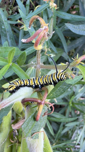
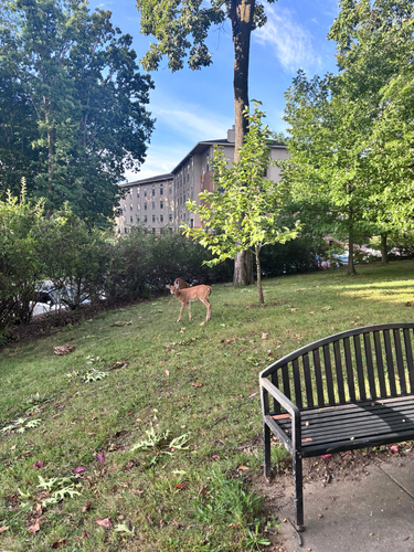
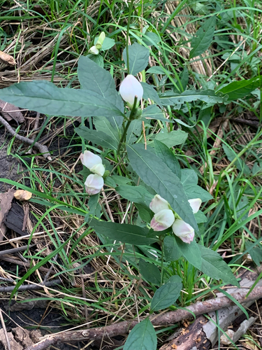
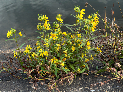

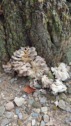
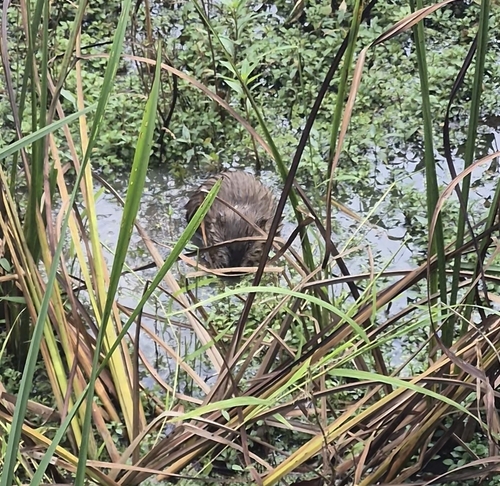
Research-grade observations from iNaturalist (within ~15 mi).
Nearest stream gauge
Events
Notable, recurring, and historical events associated with Kent, sourced from Wikidata.
- Kent State shootingsMay 4, 1970demonstration
1970 shootings in Kent, Ohio, US during student-led protest of Vietnam War
Source: Wikidata (CC0).
Gallery
Sources
- • Wikipedia
- • US Census Bureau (ACS 5-year estimates)
- • Wikidata
- • USGS Earthquake Catalog (global feed)
- • GBIF (Global Biodiversity Information Facility)
- • iNaturalist
- • Open-Meteo / sunrise-sunset.org
- • Wikipedia Pageviews API
- • Open Library