Browse / United States / Ohio / Lincoln Village
Lincoln Village
OhioCDP

Lincoln Village
Total population
8,928
Median home value
$169,100
Bachelor's+
Median income
$53,797
Air quality index
Demographic figures from US Census Bureau · ACS 5-year estimates. Overview below cites Wikipedia and may reference a different year.
City facts
Facts from Wikidata (CC0).
Overview
Lincoln Village is a census-designated place (CDP) in Prairie Township, Franklin County, Ohio, United States. It is centered near the intersection of US 40 and I-270 on the west side of Columbus. As of the 2020 census, the population was 9,702.
Read more on WikipediaHistory & geography
History
Ohio Farm Bureau Federation President and CEO Murray Lincoln had aspired to create a suburban "village" since the early 1940s. Lincoln, as the head of what would become Nationwide Insurance from 1920 to 1948, initiated work on the Lincoln Village project in the early 1950s with the support of the U.S. Cooperative Movement. Lincoln was able to "sell" the Cooperative ideology to Ohio individual farmers, and viewed co-ops as "an answer to Communism in Europe and Asia, and as a balance wheel against unfettered private enterprise in the U.S." After founding several co-op and non co-op enterprises, Lincoln was able to fund the development of Lincoln Village with assets made from these corporations (which totaled $133,510,000). Lincoln's People's Development Corporation was formed to build Lincoln Village. The price of this project was about $30,000,000 USD. The plan for Lincoln Village included of streets, sewers, a pumping station, and a million-gallon water pump. Lincoln Village was built for 10,000 inhabitants, and was set around a civic center. In 1953, bulldozers completed grading of of farmland in western Columbus for the construction of Lincoln Village, with churches, a school, wooded park, playgrounds, and a library. A shopping center would also be built. Housing in the village was to include apartment buildings and single family homes priced between $9,000 to $16,000.
Geography
Lincoln Village is located in west-central Franklin County. The Pennsylvania Railroad borders Lincoln Village to the north, Sullivant Avenue to the south, and Interstate 270 to the east. The western border of Lincoln Village follows Hilliard Rome Road and Norton Road, the larger northwest portion by Hilliard-Rome Road and the smaller southwest portion by Norton Road. U.S. Route 40 (the National Road, known as W. Broad Street within the community) runs through the center of town, leading east to the center of Columbus. The city of Columbus borders Lincoln Village to the north, west, and south; a portion of Franklin Township is to the east, across I-270. According to the United States Census Bureau, Lincoln Village has a total area of , all land. Adjacent neighborhoods include New Rome, Rome Heights, Cherry Creek, and National Pike Little Farms.
Excerpted from the corresponding Wikipedia article (CC BY-SA).
Demographics & economy
Race & ethnicity
Source: US Census Bureau — American Community Survey, 5-year estimates.
Geography
Coordinates & boundaries from the US Census TIGER/Line shapefiles.
Climate
Current forecast
Forecast for Lincoln Village, OH from NOAA NWS API.
Air quality
Current readings from Open-Meteo Air Quality API (Copernicus CAMS European reanalysis).
Industrial & pollution facilities
Natural hazard risk
Health (adults)
Age-adjusted prevalence estimates from CDC PLACES (latest release).
Walkability
Amenities nearby
Wildlife & biodiversity
Most-observed species
- Northern CardinalCardinalis cardinalis (Linnaeus, 1758) · Aves46,874
- American RobinTurdus migratorius Linnaeus, 1766 · Aves43,966
- Blue JayCyanocitta cristata (Linnaeus, 1758) · Aves34,233
- Carolina ChickadeePoecile carolinensis (Audubon, 1834) · Aves32,274
- American GoldfinchSpinus tristis (Linnaeus, 1758) · Aves30,007
- MallardAnas platyrhynchos Linnaeus, 1758 · Aves29,779
- Mourning DoveZenaida macroura (Linnaeus, 1758) · Aves29,438
- House SparrowPasser domesticus (Linnaeus, 1758) · Aves29,127
Citizen-science & research observations from the Global Biodiversity Information Facility (GBIF).
Schools
Largest nearby schools
- Hilliard Davidson High SchoolHigh · Hilliard · 1,891 students · 18.9:1 ratio
- Grove City High SchoolHigh · Grove City · 1,881 students · 20.9:1 ratio
- Upper Arlington High SchoolHigh · Upper Arlington · 1,867 students · 22.5:1 ratio
- Westland High SchoolHigh · Galloway · 1,832 students · 20.8:1 ratio
- Central Crossing High SchoolHigh · Grove City · 1,638 students · 20:1 ratio
- Great River Connections AcademyOther · Columbus · 1,627 students · 26.7:1 ratio
- Hilliard Bradley High SchoolHigh · Hilliard · 1,623 students · 19.3:1 ratio
- Hilliard Darby High SchoolHigh · Hilliard · 1,577 students · 16.3:1 ratio
Public K–12 schools within ~10 mi from Urban Institute Education Data Portal (NCES Common Core of Data, 2022).
Earthquake history
Most recent
- M 2.5 — 2026-02-222 km NE of Hillsboro, Ohio
- M 2.9 — 2023-12-095 km W of Jackson Center, Ohio
- M 3.4 — 2017-05-241 km S of McArthur, Ohio
- M 2.6 — 2015-02-118 km SE of Richmond Dale, Ohio
- M 3.5 — 2013-11-202 km SW of Buchtel, Ohio
Events from the USGS Earthquake Catalog (global) (FDSN Event Web Service).
Photos
Sights & places nearby
Notable people from here


People born within ~10 km, from Wikidata (CC0). Click any name for their Wikipedia article.
Geography & sun
Elevation, sunrise/sunset and daylight from Open-Meteo. Solar climatology from NASA POWER.
Nearby airports
Public attention
Pageview totals from the Wikimedia Pageviews API.
Books about Lincoln Village



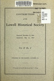
Search results from Open Library.
Recent natural events nearby
Ground air-quality sensors
Recently spotted species


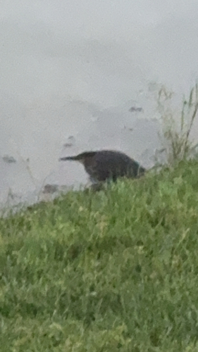
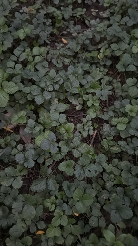
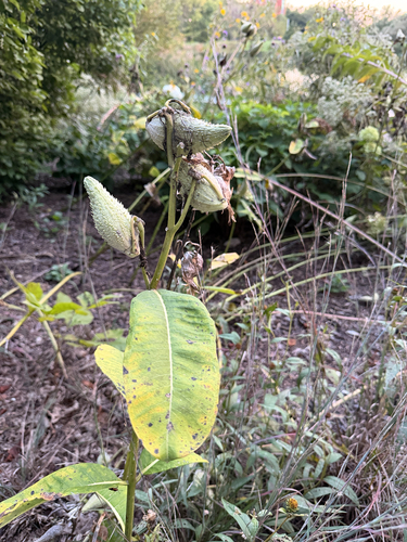
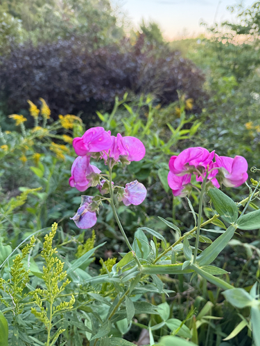
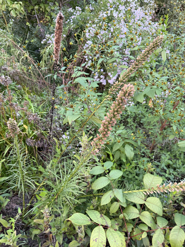
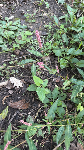
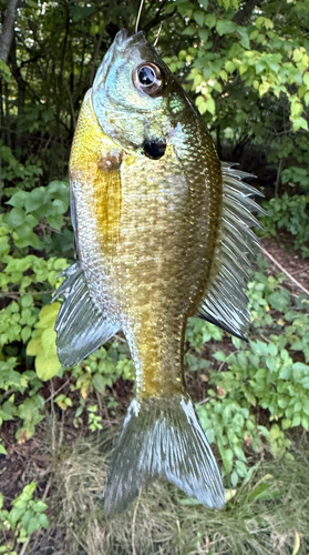
Research-grade observations from iNaturalist (within ~15 mi).
Nearest stream gauge
Live readings from USGS NWIS · measured 2026-09-22 20:00 UTC.
Events
Gallery
Sources
- • Wikipedia
- • US Census Bureau (ACS 5-year estimates)
- • NOAA National Weather Service
- • Wikidata
- • Open-Meteo Air Quality (CAMS)
- • USGS Earthquake Catalog (global feed)
- • USGS NWIS (water data)
- • NCES via Urban Institute Education Data Portal
- • GBIF (Global Biodiversity Information Facility)
- • iNaturalist
- • CDC PLACES
- • Open-Meteo / sunrise-sunset.org
- • Wikipedia Pageviews API
- • Open Library