Browse / United States / Ohio / Lockland
Lockland
Ohiovillage

Lockland
Total population
3,498
Median home value
$111,100
Bachelor's+
Median income
$57,969
Demographic figures from US Census Bureau · ACS 5-year estimates. Overview below cites Wikipedia and may reference a different year.
City facts
Facts from Wikidata (CC0).
Overview
Lockland is a village in Hamilton County, Ohio, United States. The population was 3,514 at the 2020 United States census. Lockland is located in southwest Ohio, north of Cincinnati.
Read more on WikipediaHistory & geography
History
The birth of the town, and its name, are related to the first set of lock gates on the Miami and Erie Canal north of Cincinnati. The canal served as a major transportation route linking commerce from as far as New Orleans to New York City. Industry was attracted to the western Ohio area by the idea of connecting Lake Erie to the Ohio River. Lockland provided an abundance of water power with its difference in water levels, allowing for a water-powered gristmill. A large reservoir pond allowed boats to dock for repairs or layover. A proliferation of railways during the latter part of the nineteenth century across the area gradually reduced the waterway's usefulness, and the canal operation was officially halted in 1929. The original factory and office building still stand in the downtown area of the village. However, after a fire in 2004 the two factory buildings, which sit on approximately , began to be demolished. By 2015 demolition was complete, including removal of the smokestack on March 26. The town was home to a refugee resettlement program, primarily drawing from Mauritania in 2024, with roughly 2,000–3,500 moving to the town in that time. Flow from the country slowed in 2025 with the tightening of asylum requirements under the Trump administration. 130 from the town were deported back to Mauritania.
Geography
According to the United States Census Bureau, the village has a total area of , all land.
Excerpted from the corresponding Wikipedia article (CC BY-SA).
Demographics & economy
Race & ethnicity
Source: US Census Bureau — American Community Survey, 5-year estimates.
Geography
Coordinates & boundaries from the US Census TIGER/Line shapefiles.
Climate
Current forecast
Forecast for Lockland, OH from NOAA NWS API.
Air quality
Industrial & pollution facilities
Natural hazard risk
Health (adults)
Age-adjusted prevalence estimates from CDC PLACES (latest release).
Walkability
Amenities nearby
Wildlife & biodiversity
Schools
Largest nearby schools
- Walnut Hills High SchoolHigh · Cincinnati · 2,582 students · 19:1 ratio
- Colerain High SchoolHigh · Cincinnati · 1,747 students · 22.1:1 ratio
- Princeton High SchoolHigh · Cincinnati · 1,690 students · 18.6:1 ratio
- Sycamore High SchoolHigh · Cincinnati · 1,639 students · 14.5:1 ratio
- Dohn CommunityHigh · Cincinnati · 1,568 students · 42.4:1 ratio
- Withrow University High SchoolHigh · Cincinnati · 1,344 students · 16:1 ratio
- Princeton Community Middle SchoolMiddle · Cincinnati · 1,290 students · 17.7:1 ratio
- Winton Woods High SchoolHigh · Cincinnati · 1,241 students · 16.5:1 ratio
Public K–12 schools within ~10 mi from Urban Institute Education Data Portal (NCES Common Core of Data, 2022).
Earthquake history
Photos
Sights & places nearby
Notable people from here


People born within ~10 km, from Wikidata (CC0). Click any name for their Wikipedia article.
Nearby places in Ohio
- Arlington Heights0.9 mi away
- Ridgewood2.9 mi away
- Dillonvale3 mi away · pop. 3,514
- Deer Park3.6 mi away · pop. 5,384
- Norwood4.7 mi away
- Mount Healthy4.8 mi away · pop. 6,919
- North College Hill5.2 mi away
- New Burlington5.9 mi away
- Montgomery6 mi away
- Madison Place6.6 mi away
- Mount Healthy Heights6.8 mi away
- Pleasant Run Farm7.1 mi away
Geography & sun
Elevation, sunrise/sunset and daylight from Open-Meteo. Solar climatology from NASA POWER.
Nearby airports
Public attention
Pageview totals from the Wikimedia Pageviews API.
Books about Lockland
Search results from Open Library.
Recent natural events nearby
- Hurricane IsaiasSevere Storms · 2026-10-11 · 122 mi
Wildfires, storms and other events from NASA EONET (last 12 months, within 250 mi).
Ground air-quality sensors
Recently spotted species
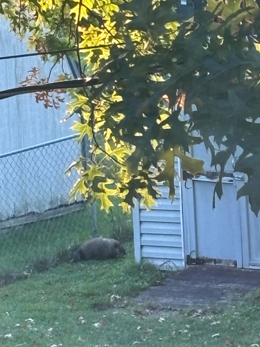
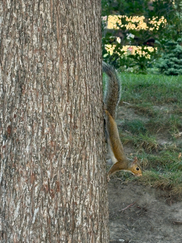


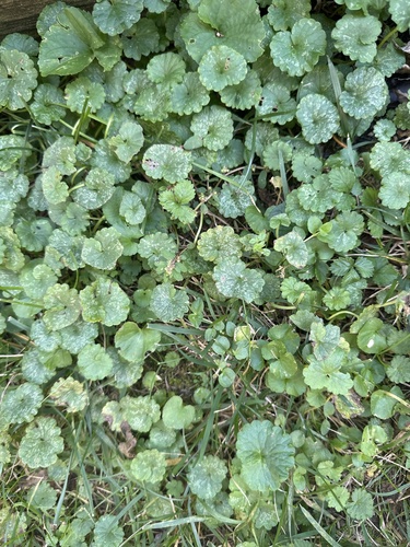

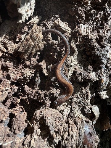
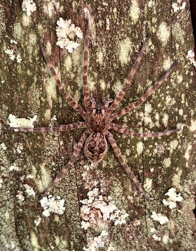
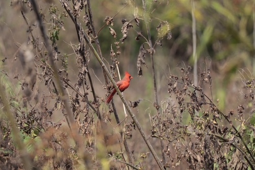
Research-grade observations from iNaturalist (within ~15 mi).
Nearest stream gauge
Events
Gallery
Sources
- • Wikipedia
- • US Census Bureau (ACS 5-year estimates)
- • NOAA National Weather Service
- • Wikidata
- • NCES via Urban Institute Education Data Portal
- • iNaturalist
- • CDC PLACES
- • Open-Meteo / sunrise-sunset.org
- • Wikipedia Pageviews API
- • Open Library
- • NASA EONET