Browse / United States / Ohio / Lucas
Lucas
Ohiovillage

Lucas
Total population
593
Median home value
$142,300
Bachelor's+
Median income
$57,333
Demographic figures from US Census Bureau · ACS 5-year estimates. Overview below cites Wikipedia and may reference a different year.
City facts
Facts from Wikidata (CC0).
Overview
Lucas is a village in southeastern Richland County, Ohio, United States. Lucas is part of the Mansfield, Ohio Metropolitan Statistical Area. The population was 589 at the 2020 census.
Read more on WikipediaHistory & geography
History
David Tucker, a New Hampshire resident, moved to Richland County in 1819, where he set in a proposal to buy land in the rural country of the county. He was granted this proposal in 1824, allowing him to buy land from the state at $1.25 per acre. After purchasing a mass quantity of land from the state, Tucker hired Mr. Steward to survey the land for auctioning out. David's brother, John, was placed in charge as the head attorney authored to sell land to incoming settlers and pioneers in 1829. Currently three theories exist on how the Village of Lucas acquired its name: # The town was named after the current at the time and 12th governor of Ohio, Robert Lucas. # The town was named in honor of Governor Lucas's brother, a major land owner for the town. # The town was named in honor of the Tucker brothers' mother's maiden name, Lucas. However the name came to be, the town of Lucas was officially established according to Ohio standards at the time in 1836.
Geography
Lucas lies southeast of Mansfield, a few miles from Interstate 71 on State Route 39. Lucas is surrounded by the Rocky Fork and Black Fork rivers, and the Charles Mill Lake to the east, and the Pleasant Hill Lake to the south. Lucas has many hills and forests and is part of the Mohican Valley area, along with Loudonville, Perrysville, Butler and Bellville. According to the United States Census Bureau, the village has a total area of , all land.
Excerpted from the corresponding Wikipedia article (CC BY-SA).
Demographics & economy
Race & ethnicity
Source: US Census Bureau — American Community Survey, 5-year estimates.
Geography
Coordinates & boundaries from the US Census TIGER/Line shapefiles.
Climate
Current forecast
Forecast for Lucas, OH from NOAA NWS API.
Air quality
Industrial & pollution facilities
Natural hazard risk
Health (adults)
Age-adjusted prevalence estimates from CDC PLACES (latest release).
Walkability
Amenities nearby
Wildlife & biodiversity
Schools
Largest nearby schools
- Madison High SchoolHigh · Mansfield · 877 students
- Mansfield Senior High SchoolHigh · Mansfield · 815 students · 14.8:1 ratio
- GOAL Digital AcademyOther · Mansfield · 772 students · 25.7:1 ratio
- Madison Middle SchoolMiddle · Mansfield · 769 students
- Malabar Intermediate SchoolElementary · Mansfield · 762 students · 17.7:1 ratio
- Lexington High SchoolHigh · Lexington · 746 students · 20.7:1 ratio
- Madison South Elementary SchoolElementary · Mansfield · 522 students
- Eastern Elementary SchoolMiddle · Lexington · 474 students · 15.8:1 ratio
Public K–12 schools within ~10 mi from Urban Institute Education Data Portal (NCES Common Core of Data, 2022).
Earthquake history
Photos
Sights & places nearby
Notable people from here
Nearby places in Ohio
Geography & sun
Elevation, sunrise/sunset and daylight from Open-Meteo. Solar climatology from NASA POWER.
Nearby airports
Public attention
Pageview totals from the Wikimedia Pageviews API.
Books about Lucas

Search results from Open Library.
Recent natural events nearby
Ground air-quality sensors
Recently spotted species
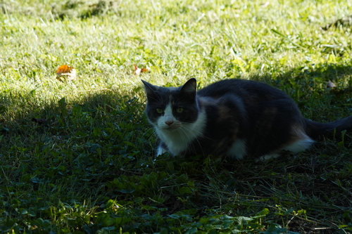
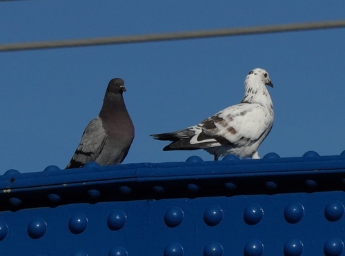


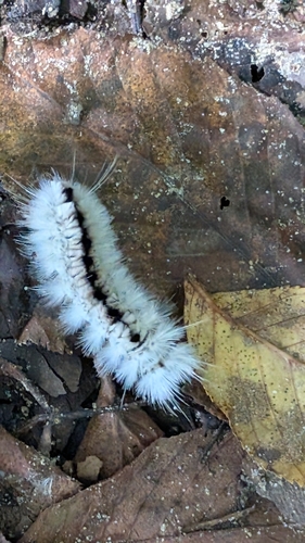



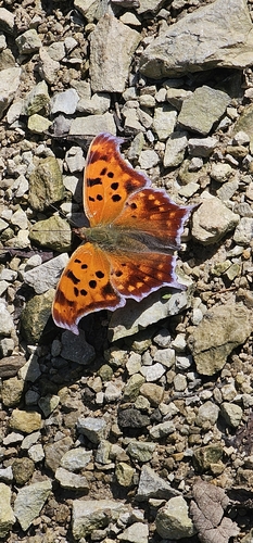
Research-grade observations from iNaturalist (within ~15 mi).
Nearest stream gauge
Events
Gallery
Sources
- • Wikipedia
- • US Census Bureau (ACS 5-year estimates)
- • NOAA National Weather Service
- • Wikidata
- • NCES via Urban Institute Education Data Portal
- • iNaturalist
- • CDC PLACES
- • Open-Meteo / sunrise-sunset.org
- • Wikipedia Pageviews API
- • Open Library