Browse / United States / Ohio / Powell
Powell
Ohiocity

Powell
Total population
14,451
Median home value
$561,500
Bachelor's+
Median income
$195,495
Founded
1801
Demographic figures from US Census Bureau · ACS 5-year estimates. Overview below cites Wikipedia and may reference a different year.
- Flood Watch · SevereFlood Watch issued September 21 at 1:43AM EDT until September 21 at 12:00PM EDT by NWS Wilmington OH
Source: NOAA National Weather Service.
City facts
Facts from Wikidata (CC0).
Overview
Powell is a city in Delaware County, Ohio, United States, located 14 miles (21.5 km) north of the state capital of Columbus. Powell had an estimated population of 14,163 at the 2020 census. Founded in the early 1800s, it is now a suburb of Columbus.
Read more on WikipediaHistory & geography
History
Present-day Powell is located on land that was once a vast wilderness sparsely populated by Native Americans including the Huron, Wyandot, Miami, Delaware, Ottawa, Shawnee, Mingo, and Erie people. The region was surveyed by French Canadian and European explorers beginning in the 17th century; with Great Britain, France, and the Iroquois League claiming ownership of the land during periods of the 1600s and 1700s. By the 18th century, the land became part of that what is historically known as Ohio Country. During the American Revolution, the states of Connecticut, New York, Pennsylvania, and Virginia claimed portions of the land during western expansion of the United States. The Land Ordinance of 1785 opened up the region to settlement by American pioneers, including veterans of the American Revolutionary War who had received bounty land warrants as compensation for their services. In 1787, the region was established as the Northwest Territory. The first settlers arrived in present-day Powell on May 1, 1801. At the time, the land was deeded to Thomas R. Hall. By 1813, records indicate that the settlement became known as "Middlebury", in possible reference to early settlers having come from Middlebury, Connecticut. Today, Powell maintains references to its heritage as Middlebury with multiple streets and housing developments applying the name. The population of Middlebury remained small, with historical records suggesting that settlers held trades and occupations consistent with other small towns of time period. The settlement included farmers, milliners, buggy makers, and blacksmiths. In 1839, deed owner Thomas R. Hall purchased additional nearby land, and later opened a general store. Middlebury was renamed for him in 1850, becoming "Hall's Corner". According to…
Geography
The city sits between the Scioto and Olentangy Rivers, about 14 miles (21.5 km) north of the state capital of Columbus, centered on the intersection of State Route 750 and C.R.9; known as Liberty Street within the City of Powell. This intersection is commonly referred to by residents as the Four Corners. It sits within Liberty Township, the site of the first settlement in Delaware County, Ohio. According to the United States Census Bureau, the city has a total area of , all land.
Excerpted from the corresponding Wikipedia article (CC BY-SA).
Demographics & economy
Race & ethnicity
Source: US Census Bureau — American Community Survey, 5-year estimates.
Geography
Coordinates & boundaries from the US Census TIGER/Line shapefiles.
Climate
Current forecast
Forecast for Powell, OH from NOAA NWS API.
Air quality
Industrial & pollution facilities
Natural hazard risk
Health (adults)
Walkability
Amenities nearby
Wildlife & biodiversity
Most-observed species
- Northern CardinalCardinalis cardinalis (Linnaeus, 1758) · Aves67,780
- Blue JayCyanocitta cristata (Linnaeus, 1758) · Aves58,574
- American RobinTurdus migratorius Linnaeus, 1766 · Aves58,289
- Carolina ChickadeePoecile carolinensis (Audubon, 1834) · Aves52,917
- American CrowCorvus brachyrhynchos C.L.Brehm, 1822 · Aves45,229
- Downy WoodpeckerDryobates pubescens (Linnaeus, 1766) · Aves45,026
- Red-bellied WoodpeckerMelanerpes carolinus (Linnaeus, 1758) · Aves41,764
- American GoldfinchSpinus tristis (Linnaeus, 1758) · Aves40,362
Citizen-science & research observations from the Global Biodiversity Information Facility (GBIF).
Schools
Earthquake history
Most recent
- M 2.9 — 2023-12-095 km W of Jackson Center, Ohio
Events from the USGS Earthquake Catalog (global) (FDSN Event Web Service).
Photos
Sights & places nearby
Notable people from here
Nearby places in Ohio
Geography & sun
Elevation, sunrise/sunset and daylight from Open-Meteo. Solar climatology from NASA POWER.
Nearby airports
Public attention
Pageview totals from the Wikimedia Pageviews API.
Books about Powell




Search results from Open Library.
Recent natural events nearby
Ground air-quality sensors
Recently spotted species
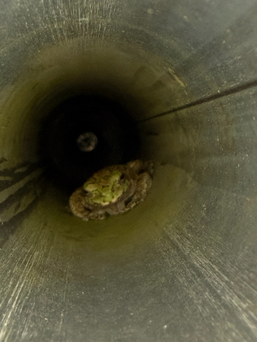
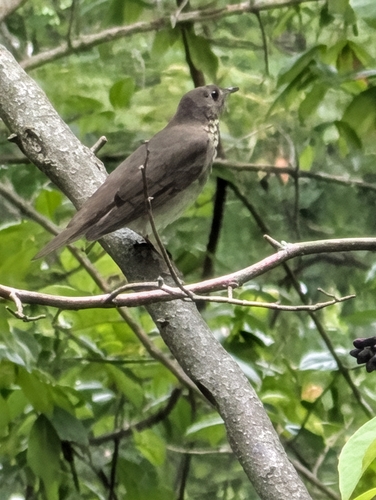
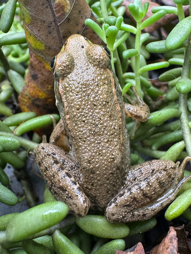
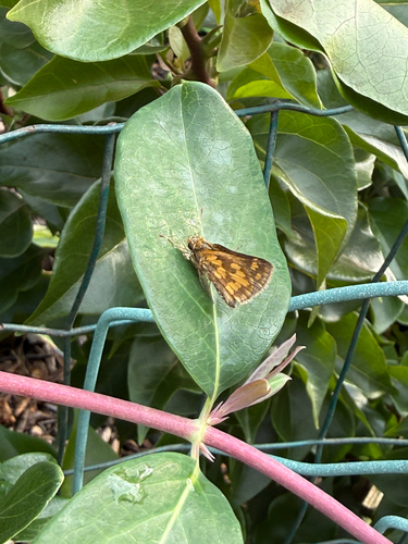
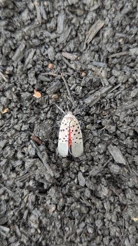
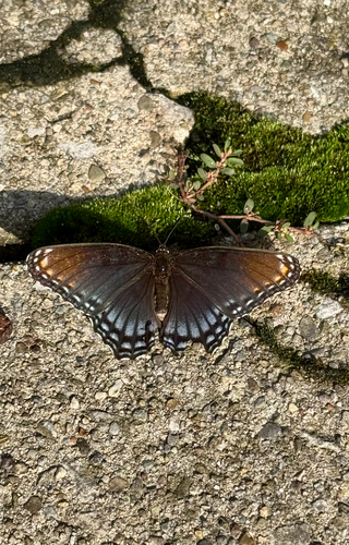
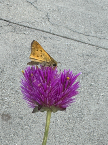
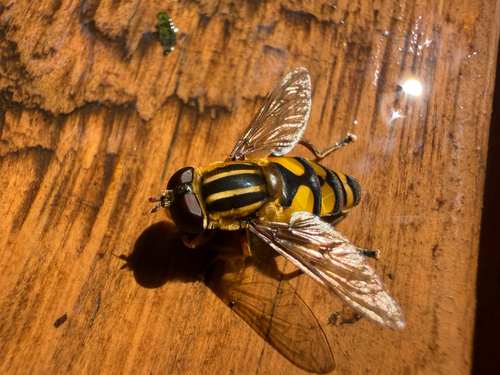
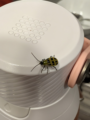
Research-grade observations from iNaturalist (within ~15 mi).
Nearest stream gauge
Live readings from USGS NWIS.
Events
Gallery
Sources
- • Wikipedia
- • US Census Bureau (ACS 5-year estimates)
- • NOAA National Weather Service
- • Wikidata
- • USGS Earthquake Catalog (global feed)
- • USGS NWIS (water data)
- • GBIF (Global Biodiversity Information Facility)
- • iNaturalist
- • Open-Meteo / sunrise-sunset.org
- • Wikipedia Pageviews API
- • Open Library