Browse / United States / Ohio / Sugar Bush Knolls
Sugar Bush Knolls
Ohiovillage

Sugar Bush Knolls
Total population
328
Median home value
$436,500
Bachelor's+
Median income
$171,359
Founded
1964
Demographic figures from US Census Bureau · ACS 5-year estimates. Overview below cites Wikipedia and may reference a different year.
City facts
Facts from Wikidata (CC0).
Overview
Sugar Bush Knolls is a village in western Portage County, Ohio, United States. The population was 217 at the 2020 census. It was formed from portions of Streetsboro and Franklin townships in 1964.
Read more on WikipediaHistory & geography
History
During the Depression, the Davey Tree Company operated a nursery and experimental tree farm on the site of what is now called the Village of Sugar Bush Knolls. The village was named for the sugar maple trees which originally stood near Lake Martin. The Davey Company owned the land where the village is now located and kept horses in the barn on Ferguson Road where the Framptons would later live. The company owned the small white house on the corner of Ferguson and Lake Martin Drive. During the early 1930s, the company offered to let Charles Miller, one of its employees, and his family move into that house, which had no electricity, telephone, or well. In 1942, the Millers' son, "Tuck", and family moved in with the senior Millers; at this time, the street was just a gravel road and did not extend out to Route 43. Martin Davey, the president of Davey Tree, arranged to have Lake Martin (named for him), Lake Roger and Lake Quincy dug out of the swampland. Lake Roger was named for William Roger Williams and Lake Quincy for David Quincy Grove, both officers of the Davey Tree Company. Harold Moore was the caretaker of the area used by Davey employees for recreation. A picnic shelter, rowboats, tree swings, and picnic tables were used for the company's picnics. The death of Martin Davey in 1946 ended plans for building the company headquarters on the site. In the 1950s the land was divided into building lots and sold. Local businessman Cyril Porthouse purchased a number of lots and built one of the first homes. He loaned the Village money to have sewers installed so that the village could be developed. Some of the early homes were built by McElhones, Bushes, Longs, Kaisers, and Geldhofs.
Geography
According to the United States Census Bureau, the village has a total area of , of which is land and is water.
Excerpted from the corresponding Wikipedia article (CC BY-SA).
Demographics & economy
Race & ethnicity
Source: US Census Bureau — American Community Survey, 5-year estimates.
Geography
Coordinates & boundaries from the US Census TIGER/Line shapefiles.
Climate
Current forecast
Forecast for Sugar Bush Knolls, OH from NOAA NWS API.
Air quality
Industrial & pollution facilities
Natural hazard risk
Health (adults)
Walkability
Amenities nearby
Wildlife & biodiversity
Schools
Earthquake history
Photos
Sights & places nearby
Notable people from here


People born within ~10 km, from Wikidata (CC0). Click any name for their Wikipedia article.
Nearby places in Ohio
Geography & sun
Elevation, sunrise/sunset and daylight from Open-Meteo. Solar climatology from NASA POWER.
Nearby airports
Public attention
Pageview totals from the Wikimedia Pageviews API.
Books about Sugar Bush Knolls

Search results from Open Library.
Recent natural events nearby
Ground air-quality sensors
Recently spotted species
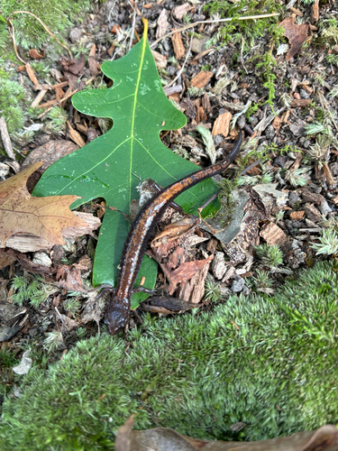
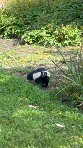
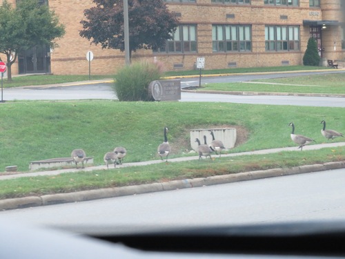
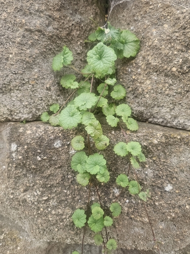
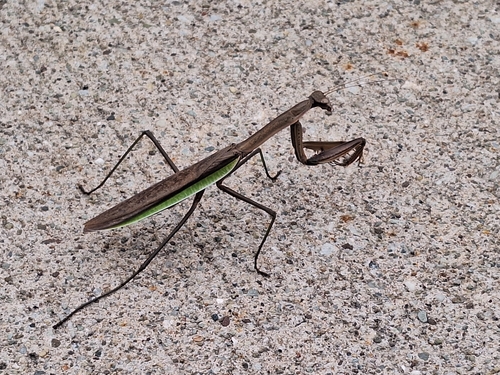
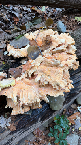
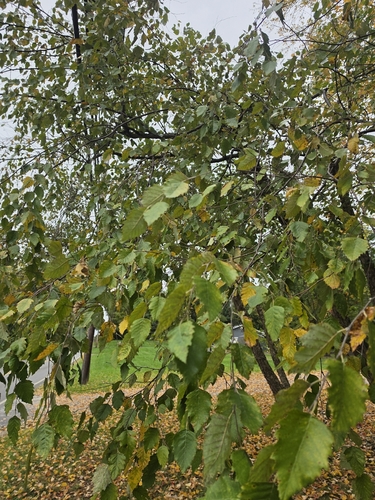
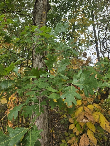
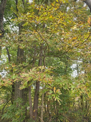
Research-grade observations from iNaturalist (within ~15 mi).
Nearest stream gauge
Live readings from USGS NWIS · measured 2026-10-12 16:00 UTC.
Events
Gallery
Sources
- • Wikipedia
- • US Census Bureau (ACS 5-year estimates)
- • NOAA National Weather Service
- • Wikidata
- • USGS NWIS (water data)
- • iNaturalist
- • Open-Meteo / sunrise-sunset.org
- • Wikipedia Pageviews API
- • Open Library