Browse / United States / Ohio / Xenia
Xenia
Ohiocity

Xenia
Total population
25,689
Demographic figures from US Census Bureau · ACS 5-year estimates. Overview below cites Wikipedia and may reference a different year.
- Flood Watch · SevereFlood Watch issued September 20 at 1:07PM EDT until September 21 at 8:00AM EDT by NWS Wilmington OH
Source: NOAA National Weather Service.
City facts
Overview
Xenia is a city in Greene County, Ohio, United States, and its county seat. Located in southwestern Ohio, it is 15 miles (24 km) east of Dayton and is part of the Dayton metropolitan area as well as the Miami Valley region. As of the 2020 census, the city had a population of 25,441. The city's name comes from the Greek word Xenia (ξενία), which means 'hospitality'.
Read more on WikipediaHistory & geography
History
Xenia was founded in 1803, the same year Ohio was admitted to the Union. In that year, Hollander-American pioneer John Paul bought of land from Thomas and Elizabeth Richardson of Hanover County, Virginia, for "1050 pounds current moneys of Virginia." Paul influenced county commissioners to locate the county seat on this land at the forks of the Shawnee creeks, stimulating development of the settlement here. Joseph C. Vance was named to survey the site and lay out the town. The following year, he bought the town site of from John Paul for $250. The name of the new village was chosen in typically democratic fashion. Vance called a town meeting to discuss possible names. The committee had considered several suggestions without reaching any decision. Then the Rev. Robert Armstrong proposed the name "Xenia," meaning "hospitality" in Greek, because of the fine hospitality extended to him in this friendly community. When a tie vote occurred, Laticia Davis, wife of Owen Davis, was invited to cast the deciding ballot. She voted for "Xenia." The first session of the Ohio General Assembly created Greene County from the Northwest Territory. It took in the homeland of the Shawnee Indians. Their chief tribal village was north of Xenia at Old Chillicothe, now called Old Town. The Shawnee war chief Tecumseh was born there in 1768. William Beattie was Xenia's first businessman. In 1804, he opened a tavern which became a center of community affairs. In 1804, John Marshall built Xenia's first house. The first log school house was constructed in 1805, and, that same year, the Rev. James Towler became the town's first postmaster. The growing community soon attracted many pioneer industries - flour mills, sawmills, woolen mills, pork packing plants, oil mills, and tow mills. A…
Geography
Today Xenia is centrally located in the "transportation triangle" formed by three major interstate highways: I-70, I-71, and I-75. These north-south, east–west arteries are within minutes of Xenia via U.S. Routes 35, 42, and 68, tying the community to one of the nation's largest 90-minute highway markets. Before the creation of the U.S. Interstate Highway system, U.S. 68 was one of the main southward routes from the major city of Detroit, Michigan. Within Xenia, U.S. 68 is named "Detroit Street". Xenia's Main Street runs concurrently with Business Route U.S. 35. According to the United States Census Bureau, the city has a total area of , of which, is land and is water.
Excerpted from the corresponding Wikipedia article (CC BY-SA).
Demographics & economy
Geography
Coordinates & boundaries from the US Census TIGER/Line shapefiles.
Climate
Current forecast
Forecast for Xenia, OH from NOAA NWS API.
Air quality
Industrial & pollution facilities
Natural hazard risk
Health (adults)
Age-adjusted prevalence estimates from CDC PLACES (latest release).
Walkability
Amenities nearby
Wildlife & biodiversity
Most-observed species
- Northern CardinalCardinalis cardinalis (Linnaeus, 1758) · Aves18,938
- American RobinTurdus migratorius Linnaeus, 1766 · Aves17,401
- Carolina ChickadeePoecile carolinensis (Audubon, 1834) · Aves13,613
- Red-bellied WoodpeckerMelanerpes carolinus (Linnaeus, 1758) · Aves12,680
- Blue JayCyanocitta cristata (Linnaeus, 1758) · Aves12,573
- Mourning DoveZenaida macroura (Linnaeus, 1758) · Aves12,251
- Song SparrowMelospiza melodia (A.Wilson, 1810) · Aves11,931
- Tufted TitmouseBaeolophus bicolor (Linnaeus, 1766) · Aves11,131
Citizen-science & research observations from the Global Biodiversity Information Facility (GBIF).
Schools
Earthquake history
Most recent
- M 2.5 — 2026-02-222 km NE of Hillsboro, Ohio
- M 2.9 — 2023-12-095 km W of Jackson Center, Ohio
- M 2.8 — 2008-09-305 km SW of Kettlersville, Ohio
Events from the USGS Earthquake Catalog (global) (FDSN Event Web Service).
Photos
Sights & places nearby
Notable people from here


People born within ~10 km, from Wikidata (CC0). Click any name for their Wikipedia article.
Nearby places in Ohio
Geography & sun
Elevation, sunrise/sunset and daylight from Open-Meteo. Solar climatology from NASA POWER.
Nearby airports
Public attention
Pageview totals from the Wikimedia Pageviews API.
Books about Xenia
Search results from Open Library.
Recent natural events nearby
Ground air-quality sensors
Recently spotted species

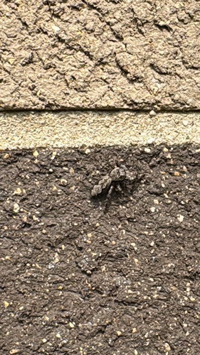
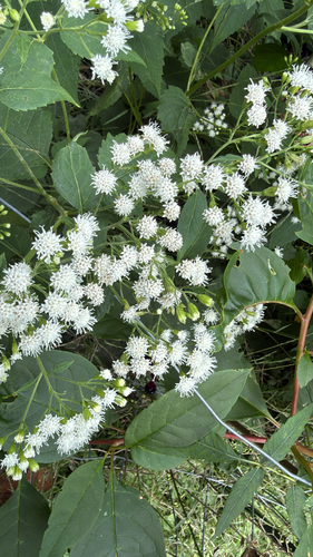
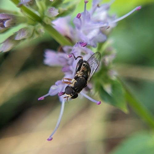
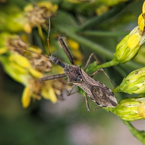

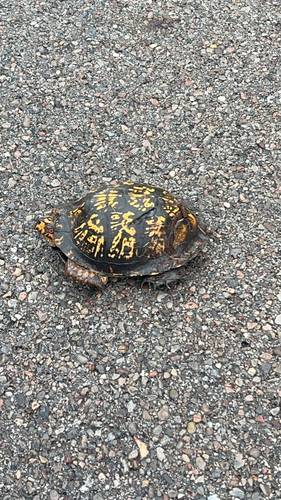
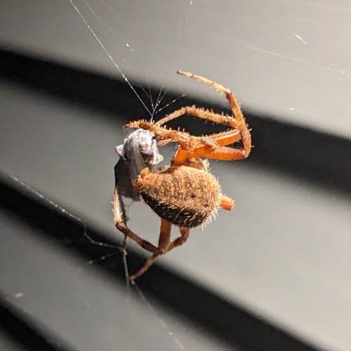
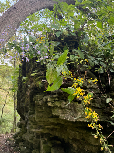
Research-grade observations from iNaturalist (within ~15 mi).
Nearest stream gauge
Events
Gallery
Sources
- • Wikipedia
- • NOAA National Weather Service
- • Wikidata
- • USGS Earthquake Catalog (global feed)
- • GBIF (Global Biodiversity Information Facility)
- • iNaturalist
- • CDC PLACES
- • Open-Meteo / sunrise-sunset.org
- • Wikipedia Pageviews API
- • Open Library