Browse / United States / Oklahoma / Beaver
Beaver
Oklahomatown

Beaver
Total population
1,586
Median home value
$154,000
Bachelor's+
Median income
$56,078
Founded
1879
Demographic figures from US Census Bureau · ACS 5-year estimates. Overview below cites Wikipedia and may reference a different year.
City facts
Facts from Wikidata (CC0).
Overview
Beaver is a town in and the county seat of Beaver County, Oklahoma, United States, in the Oklahoma Panhandle. As of the 2020 census, its population was 1,280. Beaver hosts the annual World Cow Chip Throwing Championship.
Read more on WikipediaHistory & geography
History
Beaver is located by Beaver River, also known as North Canadian River, and began as the location of a fur-trading post in 1879. Its original name was Beaver City, and was planned to be the capital of the short-lived Cimarron Territory. The Federal government never recognized the proposed Territory, but Beaver City remained the center of business and law enforcement for the area. Beaver began as a stop on the Jones and Plummer Trail. In 1880, Jim Lane built a house on the south side of Beaver Creek, that also served as a general store, saloon, hotel, and restaurant.{{efn|The Lane House a/k/a the Lane Cabin still stands, and is on the National Register of Historic Places. During the Dust Bowl and the Great Depression most of the Panhandle and its communities suffered great economic hardships and lost population. The city of Beaver actually gained population. In 1920, it had 920 residents, which grew to 1028 in 1930 and 1146 in 1940.
Geography
According to the United States Census Bureau, the city had a total area of , all land. A mile north of the town is Beaver Dunes Park, now owned by the City of Beaver, featuring sand dunes left by ancient seas that once covered the area. Beaver experiences a cool semi-arid climate (Köppen BSk), bordering upon a humid subtropical climate (Cfa). It features cold, highly variable, and dry winters alongside hot, much wetter summers. While not the snowiest location in Oklahoma ranked by annual average snowfall, Beaver has the distinction of holding the State snowfall record for a season, during 1911–1912.
Excerpted from the corresponding Wikipedia article (CC BY-SA).
Demographics & economy
Race & ethnicity
Source: US Census Bureau — American Community Survey, 5-year estimates.
Geography
Coordinates & boundaries from the US Census TIGER/Line shapefiles.
Climate
Current forecast
Forecast for Beaver, OK from NOAA NWS API.
Air quality
Industrial & pollution facilities
Natural hazard risk
Health (adults)
Age-adjusted prevalence estimates from CDC PLACES (latest release).
Walkability
Amenities nearby
Wildlife & biodiversity
Schools
Earthquake history
Photos
Sights & places nearby
Notable people from here

People born within ~10 km, from Wikidata (CC0). Click any name for their Wikipedia article.
Nearby places in Oklahoma
Geography & sun
Elevation, sunrise/sunset and daylight from Open-Meteo. Solar climatology from NASA POWER.
Nearby airports
Public attention
Pageview totals from the Wikimedia Pageviews API.
Books about Beaver

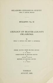
Search results from Open Library.
Recent natural events nearby
- Wildfire Semi 270, Woodward, OklahomaWildfires · 2026-08-01 · 60 mi
- Wildfire Burnt Canyon, Woodward, OklahomaWildfires · 2026-08-15 · 71 mi
- Wildfire Black Kettle, Roger Mills, OklahomaWildfires · 2026-09-14 · 88 mi
- Wildfire Old Deer, Carson, TexasWildfires · 2026-08-23 · 101 mi
- Wildfire Calvary Creek, Washita, OklahomaWildfires · 2026-09-15 · 143 mi
- Wildfire Rabbit Ear East, Union, New MexicoWildfires · 2026-08-24 · 147 mi
- Wildfire Sheep Pen, Las Animas, ColoradoWildfires · 2026-08-12 · 154 mi
- Wildfire GRACEMONT, Caddo, OklahomaWildfires · 2026-09-13 · 164 mi
Wildfires, storms and other events from NASA EONET (last 12 months, within 250 mi).
Ground air-quality sensors
Recently spotted species
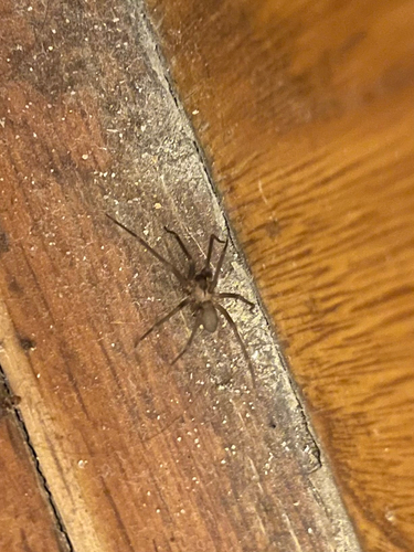
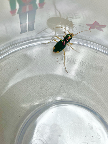
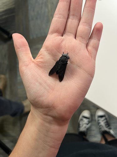
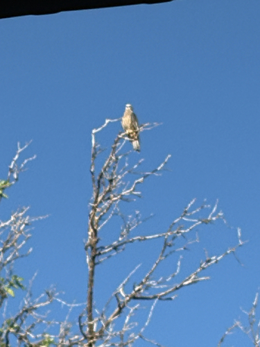
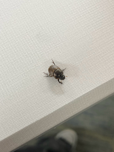
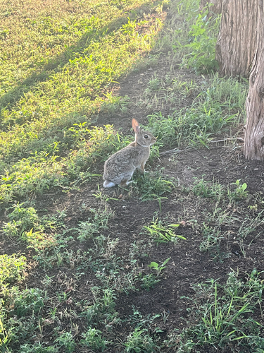
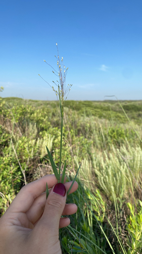
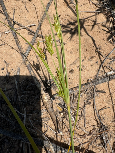
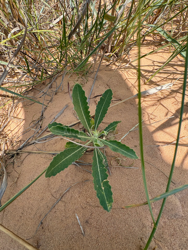
Research-grade observations from iNaturalist (within ~15 mi).
Nearest stream gauge
Events
Gallery
Sources
- • Wikipedia
- • US Census Bureau (ACS 5-year estimates)
- • NOAA National Weather Service
- • Wikidata
- • iNaturalist
- • CDC PLACES
- • Open-Elevation
- • Open-Meteo / sunrise-sunset.org
- • Wikipedia Pageviews API
- • Open Library
- • NASA EONET