Browse / United States / Oklahoma / Bromide
Bromide
Oklahomatown

Bromide
Total population
133
Median home value
$0
Bachelor's+
Median income
$32,031
Demographic figures from US Census Bureau · ACS 5-year estimates. Overview below cites Wikipedia and may reference a different year.
City facts
Facts from Wikidata (CC0).
Overview
Bromide is a town in Coal and Johnston counties in the U.S. state of Oklahoma. The population was 123 as of the 2020 Census.
Read more on WikipediaHistory & geography
History
Bromide was founded by Judge William H. Jackson, a former superintendent of the nearby Wapanucka Academy, who recognized the site near several mineral springs as a potential tourist attraction. The community was initially called "Juanita" (1905 - 1906), then "Zenobia" (1906 - 1907), before it was named "Bromide". It incorporated in July 1908. Juanita and Zenobia were the names of two of Jackson's daughters. The name "Bromide" was chosen because of the high content of bromine in the mineral water. Before Oklahoma statehood, the townsite was part of the Chickasaw Nation. Native Americans were well acquainted with the mineral springs in the area. The Chickasaws called these Oka-Alichi (Medicine Water) or Hopi Kuli (Salt Springs), and believed that the waters had medicinal power, especially for "rheumatism, diseases of the stomach, kidney and bladder ailments, [and] nerve and skin problems". Oilman Robert Galbreath evidently thought this could become sufficiently profitable to be a worthwhile investment. However, the Great Depression put an end to the concept. The nearby Wapanucka Academy site is listed in the National Register of Historic Places (NR72001065).
Geography
Bromide is located in northeastern Johnston County and southwestern Coal County with the developed townsite mostly on the Johnston side of the county line. The town is by road northwest of Wapanucka and northeast of Tishomingo, the Johnston county seat. It is the same distance southwest of Coalgate, the Coal county seat. According to the United States Census Bureau, Bromide has an area of , all land.
Excerpted from the corresponding Wikipedia article (CC BY-SA).
Demographics & economy
Race & ethnicity
Source: US Census Bureau — American Community Survey, 5-year estimates.
Geography
Coordinates & boundaries from the US Census TIGER/Line shapefiles.
Climate
Current forecast
Forecast for Bromide, OK from NOAA NWS API.
Air quality
Industrial & pollution facilities
Natural hazard risk
Health (adults)
Walkability
Amenities nearby
Wildlife & biodiversity
Schools
Earthquake history
Photos
Sights & places nearby
Notable people from here

People born within ~10 km, from Wikidata (CC0). Click any name for their Wikipedia article.
Nearby places in Oklahoma
Geography & sun
Elevation, sunrise/sunset and daylight from Open-Meteo. Solar climatology from NASA POWER.
Nearby airports
Public attention
Pageview totals from the Wikimedia Pageviews API.
Books about Bromide
Search results from Open Library.
Recent natural events nearby
- Wildfire Atoka Lake, Atoka, OklahomaWildfires · 2026-09-14 · 22 mi
- Wildfire Buck Creek, Pushmataha, OklahomaWildfires · 2026-08-25 · 46 mi
- Wildfire WRIGHT, Hughes, OklahomaWildfires · 2026-08-29 · 60 mi
- Wildfire PINTO, Stephens, OklahomaWildfires · 2026-09-08 · 63 mi
- Wildfire Tram Trail, Pushmataha, OklahomaWildfires · 2026-09-14 · 65 mi
- Wildfire Alexander Trail Fire, Pushmataha, OklahomaWildfires · 2026-08-30 · 68 mi
- Wildfire Alexander Trail, Pushmataha, OklahomaWildfires · 2026-08-30 · 68 mi
- Wildfire Snake Mountain, Pushmataha, OklahomaWildfires · 2026-08-14 · 75 mi
Wildfires, storms and other events from NASA EONET (last 12 months, within 250 mi).
Ground air-quality sensors
Recently spotted species
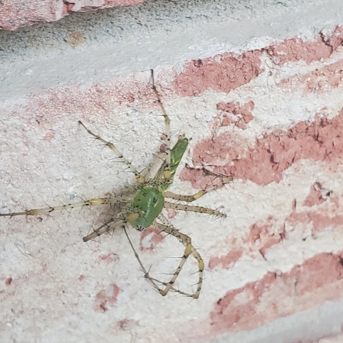
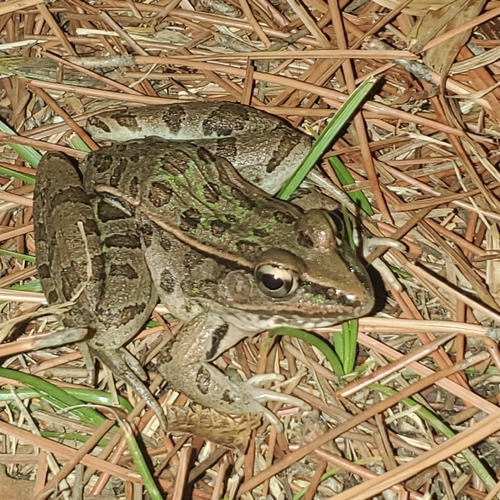
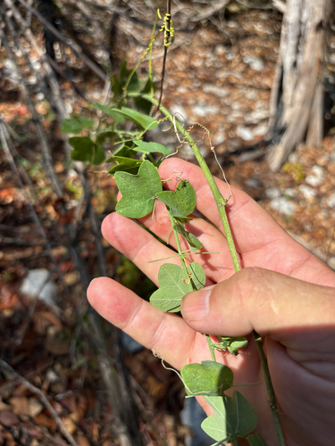
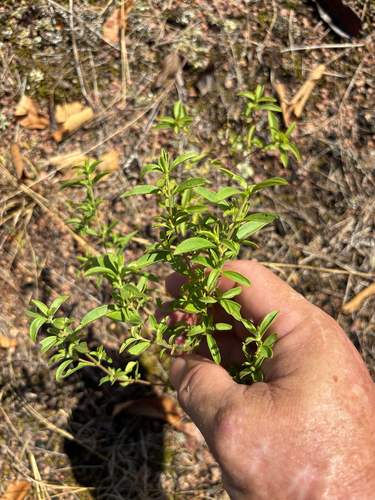
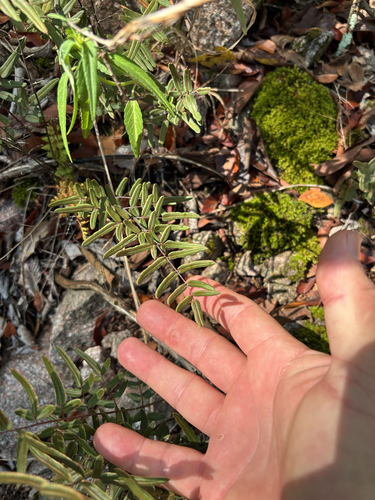
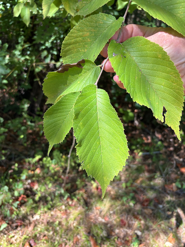
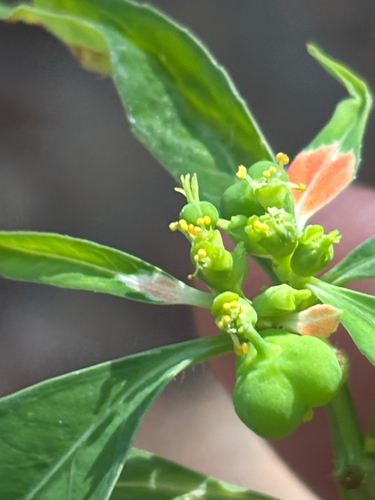
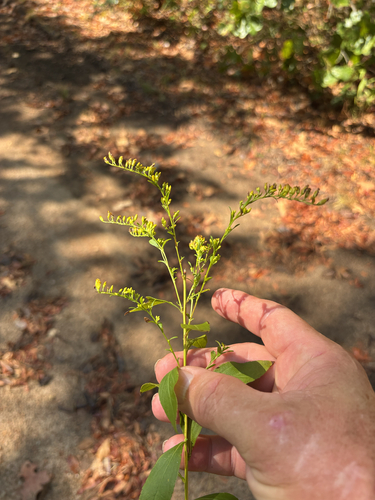
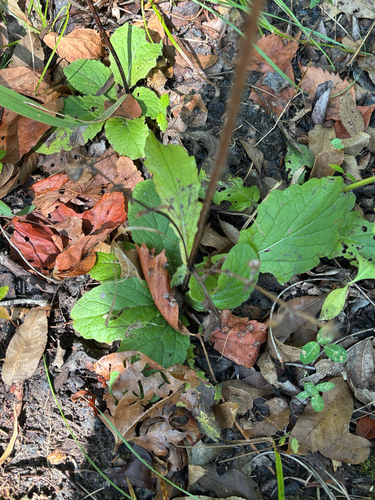
Research-grade observations from iNaturalist (within ~15 mi).
Nearest stream gauge
Events
Gallery
Sources
- • Wikipedia
- • US Census Bureau (ACS 5-year estimates)
- • NOAA National Weather Service
- • Wikidata
- • iNaturalist
- • Open-Meteo / sunrise-sunset.org
- • Wikipedia Pageviews API
- • Open Library
- • NASA EONET