Browse / United States / Oklahoma / Copan
Copan
Oklahomatown

Copan
Total population
772
Median home value
$107,400
Bachelor's+
Median income
$31,987
Demographic figures from US Census Bureau · ACS 5-year estimates. Overview below cites Wikipedia and may reference a different year.
City facts
Facts from Wikidata (CC0).
Overview
Copan is a town in Washington County, Oklahoma, United States. As of the 2020 census, Copan had a population of 710.
Read more on WikipediaHistory & geography
History
The Atchison, Topeka & Santa Fe Railway ("Santa Fe") built a station at this site in 1899, which it named Copan, after the city of Copán, Honduras. However, when a post office was established here in 1900, it was designated as Lawton. The settlement was renamed Weldon in 1901, but reverted to Copan in 1904. It was incorporated under that name in Indian Territory in 1906. The Copan school district was founded in 1906, as well. By 1907, the town had 305 residents. The blossoming oil industry in Washington County spurred the growth of Copan. The Prairie Oil and Gas Company built Oklahoma's first trunk pipeline, which ran from Bartlesville, Oklahoma to Humboldt, Kansas in 1904. It also included an oil storage terminal near Copan with 107 tanks, designed to hold 35,000 barrels of crude oil. The Copan oil field was discovered in 1907, and had nearly 2,200 producing wells by 1915. The town managed to survive and recover from major fires in 1906, 1911 and 1912. It enjoyed a spurt of growth after the creation of nearby Lake Hulah in 1951, and Lake Copan in 1983. Population reached a high of 960 in 1980, largely because the lakes increased tourism. The town economy is now largely based on travel and recreation.
Geography
Copan is north of Bartlesville on U.S. Highway 75. According to the United States Census Bureau, the town has a total area of , all land.
Excerpted from the corresponding Wikipedia article (CC BY-SA).
Demographics & economy
Race & ethnicity
Source: US Census Bureau — American Community Survey, 5-year estimates.
Geography
Coordinates & boundaries from the US Census TIGER/Line shapefiles.
Climate
Current forecast
Forecast for Copan, OK from NOAA NWS API.
Air quality
Industrial & pollution facilities
Natural hazard risk
Health (adults)
Age-adjusted prevalence estimates from CDC PLACES (latest release).
Walkability
Amenities nearby
Wildlife & biodiversity
Schools
Largest nearby schools
- DEWEY ESElementary · Dewey · 569 students · 17.2:1 ratio
- WOODROW WILSON ESElementary · Bartlesville · 560 students · 15.6:1 ratio
- DEWEY HSHigh · Dewey · 394 students · 16.4:1 ratio
- DEWEY MSMiddle · Dewey · 269 students · 15.8:1 ratio
- COPAN ESElementary · Copan · 156 students · 17.3:1 ratio
- COPAN HSHigh · Copan · 69 students · 23:1 ratio
Public K–12 schools within ~10 mi from Urban Institute Education Data Portal (NCES Common Core of Data, 2022).
Earthquake history
Photos
Sights & places nearby
Notable people from here
Nearby places in Oklahoma
Geography & sun
Elevation, sunrise/sunset and daylight from Open-Meteo. Solar climatology from NASA POWER.
Nearby airports
Public attention
Pageview totals from the Wikimedia Pageviews API.
Books about Copan

Search results from Open Library.
Recent natural events nearby
- Wildfire BISON, Osage, OklahomaWildfires · 2026-08-21 · 23 mi
- Wildfire B.B, Osage, OklahomaWildfires · 2026-08-06 · 30 mi
- Wildfire WRIGHT, Hughes, OklahomaWildfires · 2026-08-29 · 116 mi
- Wildfire Buck Creek, Pushmataha, OklahomaWildfires · 2026-08-25 · 166 mi
- Wildfire GRACEMONT, Caddo, OklahomaWildfires · 2026-09-13 · 169 mi
- Wildfire Alexander Trail Fire, Pushmataha, OklahomaWildfires · 2026-08-30 · 171 mi
- Wildfire Alexander Trail, Pushmataha, OklahomaWildfires · 2026-08-30 · 171 mi
- Wildfire Atoka Lake, Atoka, OklahomaWildfires · 2026-09-14 · 172 mi
Wildfires, storms and other events from NASA EONET (last 12 months, within 250 mi).
Ground air-quality sensors
Recently spotted species
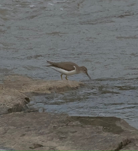
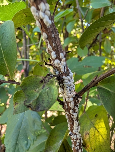
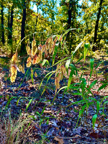
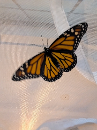
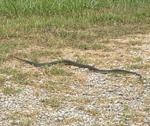
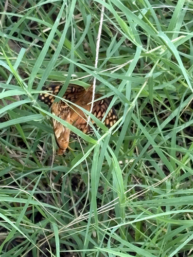
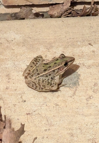
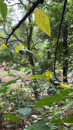
Research-grade observations from iNaturalist (within ~15 mi).
Nearest stream gauge
Events
Gallery
Sources
- • Wikipedia
- • US Census Bureau (ACS 5-year estimates)
- • NOAA National Weather Service
- • Wikidata
- • NCES via Urban Institute Education Data Portal
- • iNaturalist
- • CDC PLACES
- • Open-Meteo / sunrise-sunset.org
- • Wikipedia Pageviews API
- • Open Library
- • NASA EONET