Browse / United States / Oklahoma / Cowlington
Cowlington
Oklahomatown

Cowlington
Total population
132
Median home value
$0
Bachelor's+
Median income
$0
Demographic figures from US Census Bureau · ACS 5-year estimates. Overview below cites Wikipedia and may reference a different year.
City facts
Overview
Cowlington is a town in LeFlore County, Oklahoma. As of the 2020 census, Cowlington had a population of 109.
Read more on WikipediaHistory & geography
History
The fertile soil of the Arkansas River bottom land, in which the present town of Cowlington is located, attracted settlement as soon as the Choctaw tribe migrated to Indian Territory. Many of these inhabitants fled during the American Civil War, returning only when hostilities had ceased. White men also came after the war and began leasing land. Among these were Coke and Fowler Cowling. A settlement formed that was informally known as Short Mountain. A post office named Cowlington, to honor the Cowling family, opened in the community in 1884. At the time of its founding, Cowlington was located in the Moshulatubbee District of the Choctaw Nation. Cowlington's economy was largely based on agricultural services. Area production included wheat, potatoes, cotton, and livestock. The town prospered because of its access to the steamboat trade on the river. Two floods along the Arkansas River, in 1898 and 1904, devastated the local economy, but the town recovered each time. However, railroads built lines through LeFlore County in the late 1800s, and began to supplant the steamboats. Fowler Cowlington tried to convince some of the railroads to build a track through Cowlington, but failed in this effort. More residents began to move away. Construction of the Robert S. Kerr Lock and Dam between 1964 and 1970 coincided with a large increase in Cowlington's population to a high of 751 residents at the 1970 U. S. Census. Tourism became a significant portion of the local economy, although the population declined again after construction was completed.
Geography
Cowlington is located south of Robert S. Kerr Lock and Dam (part of the McClellan-Kerr Arkansas River Navigation System). The town is also south of Sallisaw. According to the United States Census Bureau, the town has a total area of , all land.
Excerpted from the corresponding Wikipedia article (CC BY-SA).
Demographics & economy
Race & ethnicity
Source: US Census Bureau — American Community Survey, 5-year estimates.
Geography
Coordinates & boundaries from the US Census TIGER/Line shapefiles.
Climate
Current forecast
Forecast for Cowlington, OK from NOAA NWS API.
Air quality
Industrial & pollution facilities
Natural hazard risk
Health (adults)
Age-adjusted prevalence estimates from CDC PLACES (latest release).
Walkability
Amenities nearby
Wildlife & biodiversity
Most-observed species
- Northern CardinalCardinalis cardinalis (Linnaeus, 1758) · Aves641
- Turkey VultureCathartes aura (Linnaeus, 1758) · Aves527
- American CrowCorvus brachyrhynchos C.L.Brehm, 1822 · Aves512
- Blue JayCyanocitta cristata (Linnaeus, 1758) · Aves464
- Great Blue/Cocoi HeronArdea herodias Linnaeus, 1758 · Aves455
- Red-winged BlackbirdAgelaius phoeniceus (Linnaeus, 1766) · Aves448
- Carolina ChickadeePoecile carolinensis (Audubon, 1834) · Aves443
- Red-bellied WoodpeckerMelanerpes carolinus (Linnaeus, 1758) · Aves412
Citizen-science & research observations from the Global Biodiversity Information Facility (GBIF).
Schools
Largest nearby schools
- SPIRO ESElementary · Spiro · 571 students · 17.8:1 ratio
- SPIRO HSHigh · Spiro · 290 students · 16.1:1 ratio
- SPIRO MSMiddle · Spiro · 202 students · 13.5:1 ratio
- BOKOSHE ESElementary · Bokoshe · 102 students · 10.2:1 ratio
- BOKOSHE HSHigh · Bokoshe · 45 students · 11.3:1 ratio
Public K–12 schools within ~10 mi from Urban Institute Education Data Portal (NCES Common Core of Data, 2022).
Earthquake history
Most recent
- M 2.5 — 2025-08-3112 km E of Crowder, Oklahoma
- M 2.65 — 2024-10-2814 km WSW of Quinton, Oklahoma
- M 2.86 — 2024-08-1413 km WSW of Quinton, Oklahoma
- M 2.6 — 2023-03-1611 km E of Crowder, Oklahoma
- M 2.8 — 2022-06-0513 km WSW of Quinton, Oklahoma
- M 3.16 — 2022-06-0310 km W of Quinton, Oklahoma
Events from the USGS Earthquake Catalog (global) (FDSN Event Web Service).
Photos
Sights & places nearby
Notable people from here
Nearby places in Oklahoma
Geography & sun
Elevation, sunrise/sunset and daylight from Open-Meteo. Solar climatology from NASA POWER.
Nearby airports
Public attention
Pageview totals from the Wikimedia Pageviews API.
Books about Cowlington
Search results from Open Library.
Recent natural events nearby
- Wildfire Snake Mountain, Pushmataha, OklahomaWildfires · 2026-08-14 · 61 mi
- Wildfire Alexander Trail Fire, Pushmataha, OklahomaWildfires · 2026-08-30 · 64 mi
- Wildfire Alexander Trail, Pushmataha, OklahomaWildfires · 2026-08-30 · 64 mi
- Wildfire WRIGHT, Hughes, OklahomaWildfires · 2026-08-29 · 75 mi
- Wildfire Buck Creek, Pushmataha, OklahomaWildfires · 2026-08-25 · 76 mi
- Wildfire Tram Trail, Pushmataha, OklahomaWildfires · 2026-09-14 · 78 mi
- Wildfire Atoka Lake, Atoka, OklahomaWildfires · 2026-09-14 · 97 mi
- Wildfire BISON, Osage, OklahomaWildfires · 2026-08-21 · 139 mi
Wildfires, storms and other events from NASA EONET (last 12 months, within 250 mi).
Ground air-quality sensors
Recently spotted species
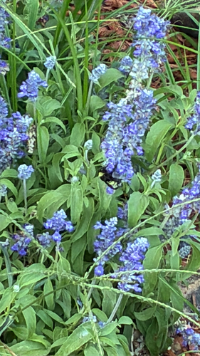
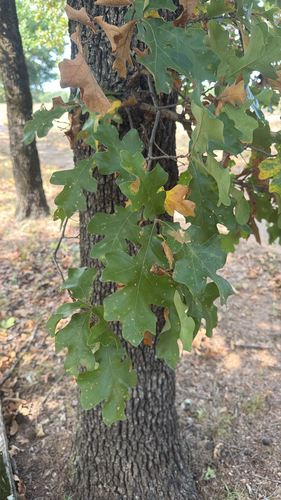
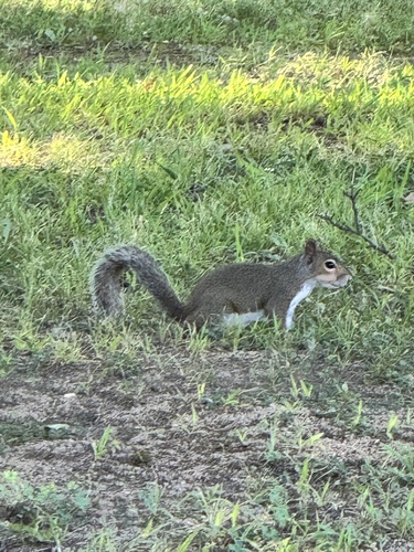
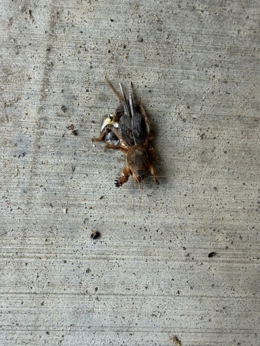
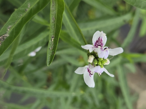
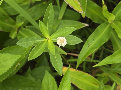
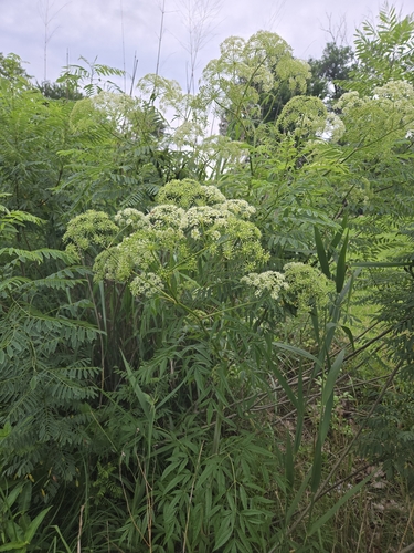
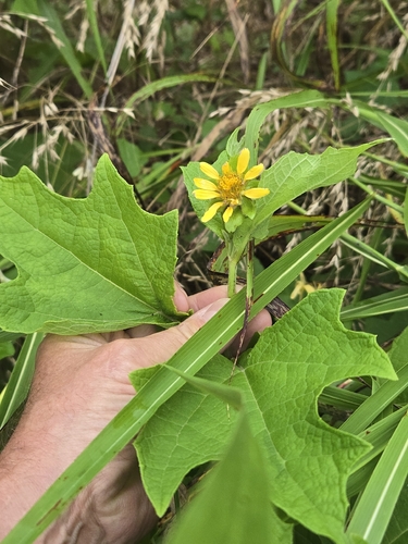
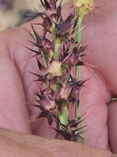
Research-grade observations from iNaturalist (within ~15 mi).
Nearest stream gauge
Events
Gallery
Sources
- • Wikipedia
- • US Census Bureau (ACS 5-year estimates)
- • NOAA National Weather Service
- • Wikidata
- • USGS Earthquake Catalog (global feed)
- • NCES via Urban Institute Education Data Portal
- • GBIF (Global Biodiversity Information Facility)
- • iNaturalist
- • CDC PLACES
- • Open-Meteo / sunrise-sunset.org
- • Wikipedia Pageviews API
- • Open Library
- • NASA EONET