Browse / United States / Oklahoma / Cyril
Cyril
Oklahomatown

Cyril
Total population
841
Median home value
$109,000
Bachelor's+
Median income
$55,000
Demographic figures from US Census Bureau · ACS 5-year estimates. Overview below cites Wikipedia and may reference a different year.
City facts
Facts from Wikidata (CC0).
Overview
Cyril is a town in Caddo County, Oklahoma, United States. As of the 2020 census, Cyril had a population of 827.
Read more on WikipediaHistory & geography
History
On August 25, 1901, Louise (probably called Cyril) Lookingglass, the infant daughter of Bayard (Monapahrah) and Laura (Tit-tah-ter-way) Lookingglass, was allotted of land that would become the Cyril townsite. Louise Lookingglass died in 1903. Bayard Lookingglass sold one-half of the allotment to Mr. and Mrs. Pierson on July 26, 1907. The Piersons sold the land to the Cyril Townsite and Development Company on September 10, 1907. Although there is some dispute, the Cyril Station appears to have been named circa 1902 after Bayard and Laura Lookingglasses' daughter when they granted the railroad permission to build a section house next to the railroad stop. Some believed that the town of Cyril was named after the Cyril Station of the St. Louis-San Francisco Railroad. However a diligent search of all sources including Frisco Railroad, found no supporting evidence. and later Oklahoma Refining. It was the major economic driver for the town, employing 160 people at the time of closure. An unsuccessful attempt was made in the early 1990s to restart part of the refinery. As of 2010, the refinery had been demolished and the site was a Superfund environmental cleanup site.
Geography
Cyril is located in southeastern Caddo County. U.S. Route 277 passes through the town, leading northeast to Chickasha and southwest to Lawton. Oklahoma City is to the northeast via US 277 and Interstate 44. According to the United States Census Bureau, Cyril has a total area of , all land.
Excerpted from the corresponding Wikipedia article (CC BY-SA).
Demographics & economy
Race & ethnicity
Source: US Census Bureau — American Community Survey, 5-year estimates.
Geography
Coordinates & boundaries from the US Census TIGER/Line shapefiles.
Climate
Current forecast
Forecast for Cyril, OK from NOAA NWS API.
Air quality
Industrial & pollution facilities
Natural hazard risk
Health (adults)
Age-adjusted prevalence estimates from CDC PLACES (latest release).
Walkability
Amenities nearby
Wildlife & biodiversity
Schools
Largest nearby schools
- APACHE ESElementary · Apache · 235 students · 14.7:1 ratio
- CYRIL ESElementary · Cyril · 192 students · 16:1 ratio
- APACHE HSHigh · Apache · 158 students · 13.2:1 ratio
- CEMENT ESElementary · Cement · 141 students · 15.7:1 ratio
- APACHE MSMiddle · Apache · 124 students · 17.7:1 ratio
- CYRIL HSHigh · Cyril · 113 students · 16.1:1 ratio
- CEMENT HSHigh · Cement · 64 students · 10.7:1 ratio
- CYRIL JHSMiddle · Cyril · 62 students · 15.5:1 ratio
Public K–12 schools within ~10 mi from Urban Institute Education Data Portal (NCES Common Core of Data, 2022).
Earthquake history
Photos
Sights & places nearby
Notable people from here
People born within ~10 km, from Wikidata (CC0). Click any name for their Wikipedia article.
Nearby places in Oklahoma
Geography & sun
Elevation, sunrise/sunset and daylight from Open-Meteo. Solar climatology from NASA POWER.
Nearby airports
Public attention
Pageview totals from the Wikimedia Pageviews API.
Books about Cyril



Search results from Open Library.
Recent natural events nearby
- Wildfire 2690, Caddo, OklahomaWildfires · 2026-08-21 · 18 mi
- Wildfire MEERS, Comanche, OklahomaWildfires · 2026-09-08 · 27 mi
- Wildfire GRACEMONT, Caddo, OklahomaWildfires · 2026-09-13 · 29 mi
- Wildfire SOUTH RAILROAD, Comanche, OklahomaWildfires · 2026-08-30 · 36 mi
- Wildfire RAILROAD SOUTH, Comanche, OklahomaWildfires · 2026-08-29 · 36 mi
- Wildfire Calvary Creek, Washita, OklahomaWildfires · 2026-09-15 · 48 mi
- Wildfire PINTO, Stephens, OklahomaWildfires · 2026-09-08 · 48 mi
- Wildfire Black Kettle, Roger Mills, OklahomaWildfires · 2026-09-14 · 101 mi
Wildfires, storms and other events from NASA EONET (last 12 months, within 250 mi).
Ground air-quality sensors
Recently spotted species


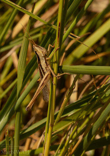



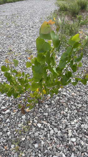
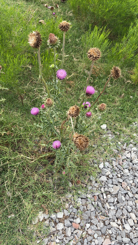
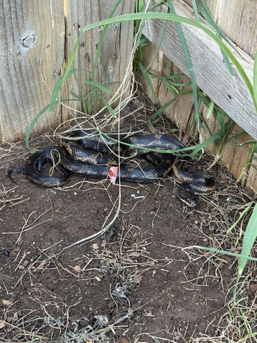
Research-grade observations from iNaturalist (within ~15 mi).
Nearest stream gauge
Events
Gallery
Sources
- • Wikipedia
- • US Census Bureau (ACS 5-year estimates)
- • NOAA National Weather Service
- • Wikidata
- • NCES via Urban Institute Education Data Portal
- • iNaturalist
- • CDC PLACES
- • Open-Elevation
- • Open-Meteo / sunrise-sunset.org
- • Wikipedia Pageviews API
- • Open Library
- • NASA EONET