Browse / United States / Oklahoma / Disney
Disney
Oklahomatown
Total population
182
Median home value
$160,400
Bachelor's+
Median income
$46,875
Demographic figures from US Census Bureau · ACS 5-year estimates. Overview below cites Wikipedia and may reference a different year.
City facts
Facts from Wikidata (CC0).
Overview
Disney is a town in Mayes County, Oklahoma, United States. The population was 222 at the 2020 census, down from 311 in 2010. The town is named for former Oklahoma U.S. Congressman Wesley E. Disney and has no affiliation with The Walt Disney Company or Walt Disney.
Read more on WikipediaHistory & geography
History
Disney was founded on November 12, 1939, by a land developer named C.D. Armstrong, who saw the area as a potential 'resort center of the Midwest.' A U.S. Post Office was established on May 21, 1938, and dedicated to the U.S. Congressman Wesley E. Disney. After Cherokee Nation member Henry Holderman led a successful campaign advocating for local hydroelectric energy, the Oklahoma legislature formed the Grand River Dam Authority (GRDA) in 1935. In 1938, construction began on the Pensacola Dam, which would connect the towns of Langley and Disney. A by-product of the Second New Deal, the dam was a project of the Works Progress Administration (WPA), a New Deal agency focused on work relief during the Great Depression. In the October 1938 issue of Scribner's magazine, famed artist Thomas Hart Benton wrote and illustrated an article about Disney, titled "Thirty-Six Hours in a Boom Town". A dam construction worker, William J. Morrow, built the first church in Disney. The town was incorporated on March 19, 1959. In 1960, the population was 224. In 1980, the population peaked at 464.
Geography
Disney is in the northeastern corner of Mayes County, on the south shore of the Grand Lake o' the Cherokees, a reservoir on the Neosho River. The town is sometimes referred to as "Disney Island" due to its situation between the east end of the Pensacola Dam, the main dam which forms the lake, and two smaller spillways on the lake to the east. The northern part of Disney is lake-front, while the southern part is roughly bounded by Summerfield Creek, fed by the spillways from the two eastern dams. Oklahoma State Highway 28 passes through the town, leading west across the Pensacola Dam to Langley. The town of Jay is to the east via highways 28 and 20. According to the U.S. Census Bureau, the town of Disney has a total area of , of which are land and , or 12.62%, are water.
Excerpted from the corresponding Wikipedia article (CC BY-SA).
Demographics & economy
Race & ethnicity
Source: US Census Bureau — American Community Survey, 5-year estimates.
Geography
Coordinates & boundaries from the US Census TIGER/Line shapefiles.
Climate
Current forecast
Forecast for Disney, OK from NOAA NWS API.
Air quality
Industrial & pollution facilities
Natural hazard risk
Health (adults)
Walkability
Amenities nearby
Wildlife & biodiversity
Most-observed species
- Northern CardinalCardinalis cardinalis (Linnaeus, 1758) · Aves431
- Tufted TitmouseBaeolophus bicolor (Linnaeus, 1766) · Aves360
- Carolina ChickadeePoecile carolinensis (Audubon, 1834) · Aves337
- Carolina WrenThryothorus ludovicianus (Latham, 1790) · Aves328
- Great Blue/Cocoi HeronArdea herodias Linnaeus, 1758 · Aves322
- Canada Goose (canadensis Group)Branta canadensis (Linnaeus, 1758) · Aves316
- Red-bellied WoodpeckerMelanerpes carolinus (Linnaeus, 1758) · Aves303
- Turkey VultureCathartes aura (Linnaeus, 1758) · Aves271
Citizen-science & research observations from the Global Biodiversity Information Facility (GBIF).
Schools
Earthquake history
Most recent
- M 2.82 — 2024-03-239 km SE of Foyil, Oklahoma
- M 2.7 — 2018-12-101 km ENE of Zeb, Oklahoma
- M 2.7 — 2016-04-03Arkansas-Oklahoma border region
- M 2.7 — 2016-01-147 km W of Talala, Oklahoma
- M 2.6 — 2015-09-036 km WSW of Vera, Oklahoma
- M 2.6 — 2010-05-212 km SW of Centerton, Arkansas
Events from the USGS Earthquake Catalog (global) (FDSN Event Web Service).
Photos
Sights & places nearby
Notable people from here

People born within ~10 km, from Wikidata (CC0). Click any name for their Wikipedia article.
Nearby places in Oklahoma
Geography & sun
Elevation, sunrise/sunset and daylight from Open-Meteo. Solar climatology from NASA POWER.
Nearby airports
Public attention
Pageview totals from the Wikimedia Pageviews API.
Books about Disney



Search results from Open Library.
Recent natural events nearby
- Wildfire BISON, Osage, OklahomaWildfires · 2026-08-21 · 78 mi
- Wildfire B.B, Osage, OklahomaWildfires · 2026-08-06 · 85 mi
- Wildfire WRIGHT, Hughes, OklahomaWildfires · 2026-08-29 · 106 mi
- Wildfire Snake Mountain, Pushmataha, OklahomaWildfires · 2026-08-14 · 138 mi
- Wildfire Alexander Trail Fire, Pushmataha, OklahomaWildfires · 2026-08-30 · 139 mi
- Wildfire Alexander Trail, Pushmataha, OklahomaWildfires · 2026-08-30 · 139 mi
- Wildfire Buck Creek, Pushmataha, OklahomaWildfires · 2026-08-25 · 142 mi
- Wildfire Tram Trail, Pushmataha, OklahomaWildfires · 2026-09-14 · 153 mi
Wildfires, storms and other events from NASA EONET (last 12 months, within 250 mi).
Ground air-quality sensors
Recently spotted species

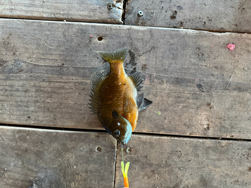
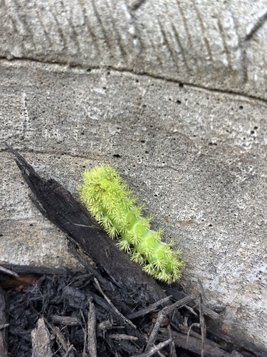
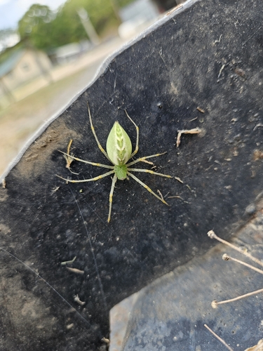
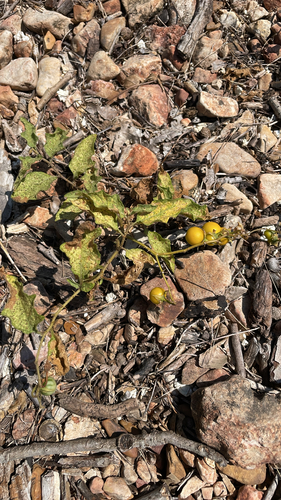
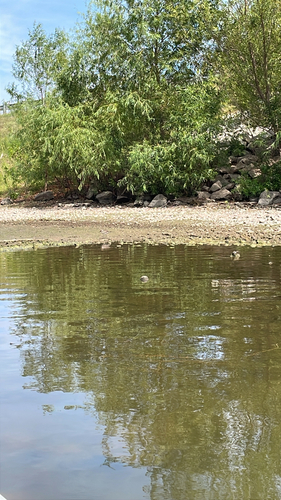
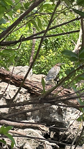
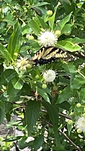
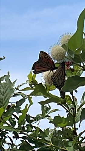
Research-grade observations from iNaturalist (within ~15 mi).
Nearest stream gauge
Events
Gallery
Sources
- • Wikipedia
- • US Census Bureau (ACS 5-year estimates)
- • NOAA National Weather Service
- • Wikidata
- • USGS Earthquake Catalog (global feed)
- • GBIF (Global Biodiversity Information Facility)
- • iNaturalist
- • Open-Meteo / sunrise-sunset.org
- • Wikipedia Pageviews API
- • Open Library
- • NASA EONET