Browse / United States / Oklahoma / Durant
Durant
Oklahomacity

Durant
Total population
19,746
Median home value
$163,200
Bachelor's+
Median income
$46,812
Founded
1872
Demographic figures from US Census Bureau · ACS 5-year estimates. Overview below cites Wikipedia and may reference a different year.
City facts
Facts from Wikidata (CC0).
Overview
Durant is a city in and the county seat of Bryan County, Oklahoma, United States. The population was 18,589 in the 2020 census. It is the home of the headquarters of the Choctaw Nation, and is the largest settlement on the reservation, ranking ahead of McAlester and Poteau. Durant is the principal city of the Durant Micropolitan Statistical Area, which had a population of 46,067 in 2020. Durant is also part of the Dallas–Fort Worth Combined Statistical Area, anchoring the northern edge.
Read more on WikipediaHistory & geography
History
The Durant area was once claimed by both Spain and France, before officially becoming part of the United States after the Louisiana Purchase and Adams–Onís Treaty. During the 1820s and 1830s, the area was designated as part of the Choctaw Nation in the southern Indian Territory. During the Indian removals, the Choctaws followed the Choctaw Trail of Tears from their ancestral homeland in Mississippi and Alabama into this area. The Choctaw Nation originally extended from the Mexican border in the west (now part of the Texas Panhandle) to the Arkansas Territory in the east, from the Red River in the south to the South Canadian River in the north. In 1855, the Choctaw and Chickasaws formally divided their land into two separate nations, with Durant remaining in Choctaw territory on the east. Chickasaw land extended west to the boundary that divided the Indian Territory from the Oklahoma Territory after passage of the Oklahoma Organic Act in 1890. Fisher Durant's son Dixon Durant is recognized as the founder of Durant and is honored as its namesake. A minister, businessman, and civic leader, Dixon Durant is credited with pastorates in local Presbyterian, Congregational, and Methodist churches. He established the first store selling general merchandise in 1873, around the time of the 1872 creation of the Missouri–Kansas–Texas Railroad (Katy Railroad) siding at Durant, which was the initial impetus for establishing the community. The U.S. Postal Service re-established the post office at the site as Durant on March 8, 1882, dropping the word "station" from the name. Beginning in 1882, the area was simply called Durant. In 1895, a fire destroyed the original business district, which had spread along the Katy tracks. Calvin Institute was opened in 1894, representing the first…
Geography
Durant is located in southeast Oklahoma, in a region named Texoma, or Texomaland, because of its short distance from Lake Texoma. The city is also part of Choctaw Country, formerly Kiamichi Country. Its geographic coordinates are (33.999834, −96.384825). It is about north of the Texas border at the Red River. Dallas is about south of Durant. The north edge of the Dallas–Fort Worth metroplex, in McKinney, is about to the south. According to the United States Census Bureau, the city of Durant has a total area of , of which , or 0.24%, is covered by water.
Excerpted from the corresponding Wikipedia article (CC BY-SA).
Demographics & economy
Race & ethnicity
Source: US Census Bureau — American Community Survey, 5-year estimates.
Geography
Coordinates & boundaries from the US Census TIGER/Line shapefiles.
Climate
Current forecast
Forecast for Durant, OK from NOAA NWS API.
Air quality
Industrial & pollution facilities
Natural hazard risk
Health (adults)
Age-adjusted prevalence estimates from CDC PLACES (latest release).
Walkability
Amenities nearby
Wildlife & biodiversity
Schools
Largest nearby schools
- DURANT HSHigh · Durant · 956 students · 16.5:1 ratio
- CALERA ESElementary · Calera · 631 students · 16.6:1 ratio
- DURANT INTERMEDIATE ESMiddle · Durant · 615 students · 15:1 ratio
- DURANT MSMiddle · Durant · 589 students · 17.3:1 ratio
- NORTHWEST HEIGHTS ESElementary · Durant · 490 students · 16.9:1 ratio
- WASHINGTON IRVING ESElementary · Durant · 435 students · 17.4:1 ratio
- ROCK CREEK ESElementary · Durant · 375 students · 15:1 ratio
- SILO EARLY CHILDHOOD CENTERElementary · Durant · 357 students · 19.8:1 ratio
Public K–12 schools within ~10 mi from Urban Institute Education Data Portal (NCES Common Core of Data, 2022).
Earthquake history
Most recent
- M 2.67 — 2026-08-135 km NE of Wardville, Oklahoma
- M 2.55 — 2026-08-094 km ENE of Wardville, Oklahoma
- M 2.94 — 2026-08-094 km ENE of Wardville, Oklahoma
- M 2.69 — 2026-08-084 km ENE of Wardville, Oklahoma
- M 3.12 — 2026-02-152 km WNW of Springer, Oklahoma
- M 3.08 — 2024-08-2910 km SW of Lehigh, Oklahoma
Events from the USGS Earthquake Catalog (global) (FDSN Event Web Service).
Photos
Sights & places nearby
Notable people from here


People born within ~10 km, from Wikidata (CC0). Click any name for their Wikipedia article.
Nearby places in Oklahoma
Geography & sun
Elevation, sunrise/sunset and daylight from Open-Meteo. Solar climatology from NASA POWER.
Nearby airports
Public attention
Pageview totals from the Wikimedia Pageviews API.
Books about Durant

Search results from Open Library.
Recent natural events nearby
- Wildfire Atoka Lake, Atoka, OklahomaWildfires · 2026-09-14 · 33 mi
- Wildfire Buck Creek, Pushmataha, OklahomaWildfires · 2026-08-25 · 53 mi
- Wildfire Tram Trail, Pushmataha, OklahomaWildfires · 2026-09-14 · 62 mi
- Wildfire Alexander Trail Fire, Pushmataha, OklahomaWildfires · 2026-08-30 · 71 mi
- Wildfire Alexander Trail, Pushmataha, OklahomaWildfires · 2026-08-30 · 71 mi
- Wildfire PINTO, Stephens, OklahomaWildfires · 2026-09-08 · 74 mi
- Wildfire Snake Mountain, Pushmataha, OklahomaWildfires · 2026-08-14 · 77 mi
- Wildfire WRIGHT, Hughes, OklahomaWildfires · 2026-08-29 · 86 mi
Wildfires, storms and other events from NASA EONET (last 12 months, within 250 mi).
Ground air-quality sensors
Recently spotted species
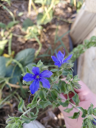
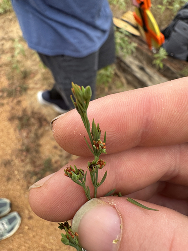
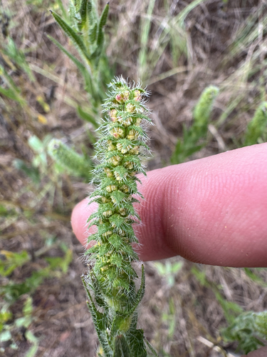
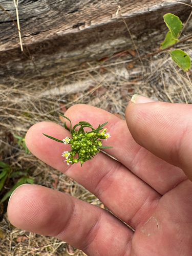
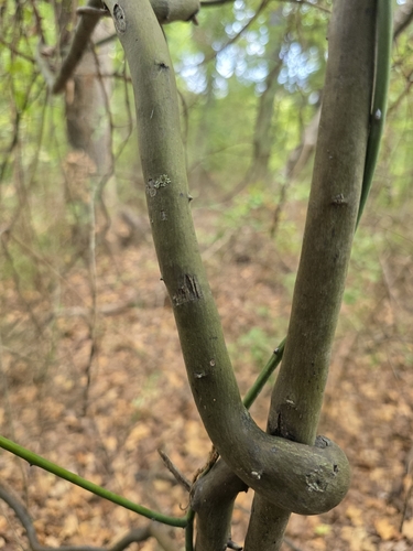
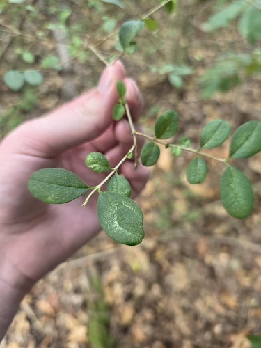
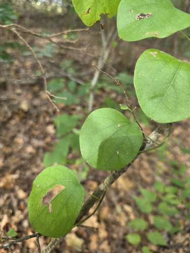
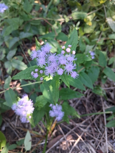
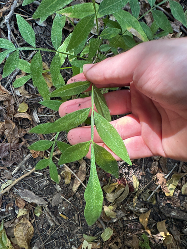
Research-grade observations from iNaturalist (within ~15 mi).
Nearest stream gauge
Events
Gallery
Sources
- • Wikipedia
- • US Census Bureau (ACS 5-year estimates)
- • NOAA National Weather Service
- • Wikidata
- • USGS Earthquake Catalog (global feed)
- • NCES via Urban Institute Education Data Portal
- • iNaturalist
- • CDC PLACES
- • Open-Elevation
- • Open-Meteo / sunrise-sunset.org
- • Wikipedia Pageviews API
- • Open Library
- • NASA EONET