Browse / United States / Oklahoma / Eufaula
Eufaula
Oklahomacity

Eufaula
Total population
2,825
Median home value
$178,700
Bachelor's+
Median income
$37,289
Demographic figures from US Census Bureau · ACS 5-year estimates. Overview below cites Wikipedia and may reference a different year.
City facts
Overview
Eufaula is a city in and the county seat of McIntosh County, Oklahoma, United States. The population was 2,766 at the 2020 census. It is in the southern part of the county, north of McAlester and south of Muskogee.
Read more on WikipediaHistory & geography
History
In the Southeast, the Muscogee people (then known as Creek by European Americans) occupied a large territory including much of present-day Georgia and Alabama. By 1800, the Creek had a village named Eufala, located on Eufaula Creek, near what later developed as the present site of Talladega, Alabama. This was one of a group called their Upper Creek towns. Pickett's History of Alabama mentions an Indian town, belonging to the Creek, which he calls Eufaulahatche. "Little Eufauly" is mentioned by an historian of this period as early as 1792. Another Upper Creek town called Eufaula was located on the Tallapoosa River; the present town of Dadeville, Alabama, developed near there. The Lower Creek had two villages of similar names: Eufaula on the Chattahoochee River, in what later became Henry County, Alabama; and Eufala, located on the east bank of the Chattahoochee River, within the limits of present Quitman County, Georgia. In 1832 the U.S. government had forced the Creek to move to Indian Territory and cede their lands in the Southeastern United States, as part of a series of cessions they had made. They established Eufaula as a center of the Creek in their new territory. It was a frequent meeting place of the people, who held pow-wows or Indian conferences in that vicinity during the early days of Creek settlement. In the 1870s G. W. Grayson, then Chief of the Creek, his brother Samuel, George Stidham and other Creek leaders, persuaded the Missouri-Kansas-Texas Railway (known as the KATY) to locate one of its stations at this site. The older Creek village was moved here to take advantage of the railroad. Eufaula, Indian Territory (present-day Oklahoma), began to attract European Americans soon after the KATY railroad established a station here in 1872. The town was…
Geography
Eufaula is in southern McIntosh County and is bordered to the northeast by Eufaula Lake, a reservoir on the Canadian River. The city sits along an arm of the lake formed by the North Canadian River, which joins the Canadian River to the southeast. U.S. Route 69, a four-lane freeway, passes through the city west of downtown. The highway leads north to Muscogee and south to McAlester. Checotah is to the north via US-69. Oklahoma State Highway 9 passes through the center of Eufaula, leading east to Whitefield and west to Wetumka. According to the U.S. Census Bureau, the city of Eufaula has a total area of , of which are land and , or 31.55%, are water.
Excerpted from the corresponding Wikipedia article (CC BY-SA).
Demographics & economy
Race & ethnicity
Source: US Census Bureau — American Community Survey, 5-year estimates.
Geography
Coordinates & boundaries from the US Census TIGER/Line shapefiles.
Climate
Current forecast
Forecast for Eufaula, OK from NOAA NWS API.
Air quality
Industrial & pollution facilities
Natural hazard risk
Health (adults)
Age-adjusted prevalence estimates from CDC PLACES (latest release).
Walkability
Amenities nearby
Wildlife & biodiversity
Schools
Largest nearby schools
- EUFAULA ESElementary · Eufaula · 532 students · 19.7:1 ratio
- EUFAULA HSHigh · Eufaula · 368 students · 14.7:1 ratio
- EUFAULA MSMiddle · Eufaula · 285 students · 15.8:1 ratio
- STIDHAM PUBLIC SCHOOLElementary · Eufaula · 107 students · 15.3:1 ratio
Public K–12 schools within ~10 mi from Urban Institute Education Data Portal (NCES Common Core of Data, 2022).
Earthquake history
Photos
Sights & places nearby
Notable people from here
Nearby places in Oklahoma
Geography & sun
Elevation, sunrise/sunset and daylight from Open-Meteo. Solar climatology from NASA POWER.
Nearby airports
Public attention
Pageview totals from the Wikimedia Pageviews API.
Books about Eufaula
Search results from Open Library.
Recent natural events nearby
- Wildfire WRIGHT, Hughes, OklahomaWildfires · 2026-08-29 · 30 mi
- Wildfire Buck Creek, Pushmataha, OklahomaWildfires · 2026-08-25 · 55 mi
- Wildfire Alexander Trail Fire, Pushmataha, OklahomaWildfires · 2026-08-30 · 59 mi
- Wildfire Alexander Trail, Pushmataha, OklahomaWildfires · 2026-08-30 · 59 mi
- Wildfire Snake Mountain, Pushmataha, OklahomaWildfires · 2026-08-14 · 60 mi
- Wildfire Atoka Lake, Atoka, OklahomaWildfires · 2026-09-14 · 67 mi
- Wildfire Tram Trail, Pushmataha, OklahomaWildfires · 2026-09-14 · 71 mi
- Wildfire BISON, Osage, OklahomaWildfires · 2026-08-21 · 117 mi
Wildfires, storms and other events from NASA EONET (last 12 months, within 250 mi).
Ground air-quality sensors
Recently spotted species
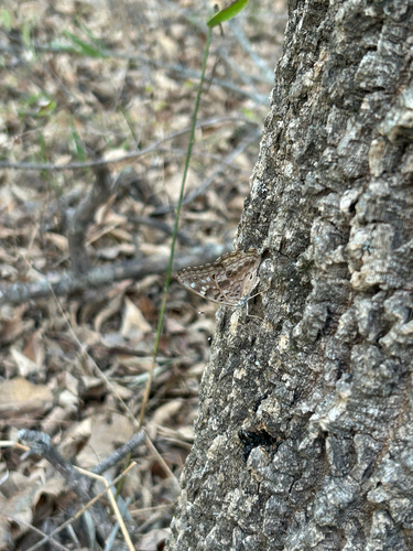
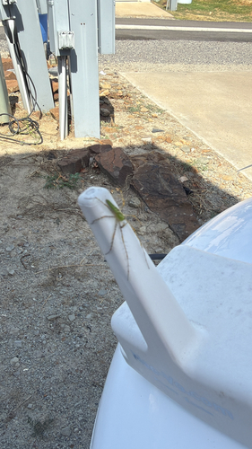
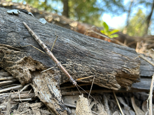
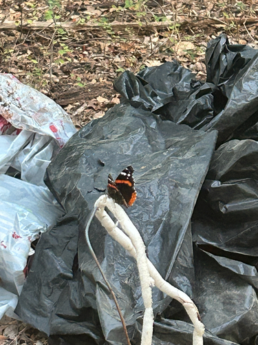
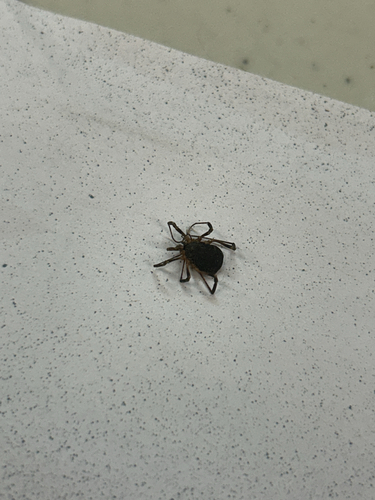
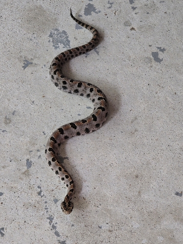
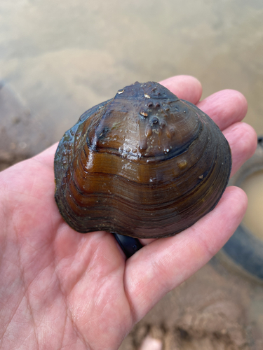
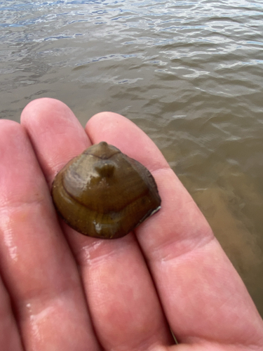
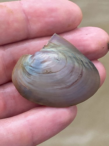
Research-grade observations from iNaturalist (within ~15 mi).
Nearest stream gauge
Events
Gallery
Sources
- • Wikipedia
- • US Census Bureau (ACS 5-year estimates)
- • NOAA National Weather Service
- • NCES via Urban Institute Education Data Portal
- • iNaturalist
- • CDC PLACES
- • Open-Meteo / sunrise-sunset.org
- • Wikipedia Pageviews API
- • Open Library
- • NASA EONET