Browse / United States / Oklahoma / Fairview
Fairview
Oklahomacity

Fairview
Total population
2,687
Median home value
$131,300
Bachelor's+
Median income
$54,688
Demographic figures from US Census Bureau · ACS 5-year estimates. Overview below cites Wikipedia and may reference a different year.
City facts
Facts from Wikidata (CC0).
Overview
Fairview is a city in Major County, Oklahoma, United States. The population was 2,740 at the time of the 2020 Census. It is the county seat of Major County.
Read more on WikipediaHistory & geography
History
The first permanent settlers arrived in the area of the present town at the time of the Cherokee Outlet land opening on September 16, 1893. The town received its name from Adam Bower, an early settler, because of its scenic location along the Cimarron River. The Bower family built a wooden building in which they opened a post office on April 18, 1894. One of Adam's sons, Clifford, served as the first postmaster. The Kansas City, Mexico and Orient Railway (later part of the Atchison, Topeka and Santa Fe Railroad), built a track through Fairview. The first train arrived on August 20, 1903. The railroad soon established machine shops, a roundhouse, and a division office in the town. The town site was originally within territorial Woods County, but became part of Major County upon its creation at statehood. It was designated as the county seat of Major County, which became permanent after an election December 22, 1908. It beat three competing communities that vied for the title: Cleo Springs, Orienta, and Ringwood. Fairview had 887 residents at statehood, increasing to 2,020 in 1910.
Geography
Fairview is situated east of the geographic center of Major County. U.S. Route 60 passes through the city as Main Street then departs to the west as Cedar Springs Road. US-60 leads north and east to Enid and west-southwest to Seiling. State Highway 58 leads south out of Fairview, and State Highway 8 leads to the north; the two highways combine to lead east out of Fairview. According to the U.S. Census Bureau, the city of Fairview has a total area of , of which , or 0.50%, are water. Sand Creek passes through the southeast part of the city, flowing to the Cimarron River northeast of the city limits.
Excerpted from the corresponding Wikipedia article (CC BY-SA).
Demographics & economy
Race & ethnicity
Source: US Census Bureau — American Community Survey, 5-year estimates.
Geography
Coordinates & boundaries from the US Census TIGER/Line shapefiles.
Climate
Current forecast
Forecast for Fairview, OK from NOAA NWS API.
Air quality
Industrial & pollution facilities
Natural hazard risk
Health (adults)
Age-adjusted prevalence estimates from CDC PLACES (latest release).
Walkability
Amenities nearby
Wildlife & biodiversity
Schools
Largest nearby schools
- CORNELSEN ESElementary · Fairview · 377 students · 14.5:1 ratio
- FAIRVIEW HSHigh · Fairview · 211 students · 13.2:1 ratio
- CHAMBERLAIN MSMiddle · Fairview · 167 students · 15.2:1 ratio
- ALINE-CLEO ESElementary · Cleo Springs · 73 students · 8.1:1 ratio
Public K–12 schools within ~10 mi from Urban Institute Education Data Portal (NCES Common Core of Data, 2022).
Earthquake history
Photos
Sights & places nearby
Notable people from here

People born within ~10 km, from Wikidata (CC0). Click any name for their Wikipedia article.
Nearby places in Oklahoma
Geography & sun
Elevation, sunrise/sunset and daylight from Open-Meteo. Solar climatology from NASA POWER.
Nearby airports
Public attention
Pageview totals from the Wikimedia Pageviews API.
Books about Fairview

Search results from Open Library.
Recent natural events nearby
- Wildfire Burnt Canyon, Woodward, OklahomaWildfires · 2026-08-15 · 49 mi
- Wildfire Semi 270, Woodward, OklahomaWildfires · 2026-08-01 · 60 mi
- Wildfire GRACEMONT, Caddo, OklahomaWildfires · 2026-09-13 · 67 mi
- Wildfire Black Kettle, Roger Mills, OklahomaWildfires · 2026-09-14 · 75 mi
- Wildfire 2690, Caddo, OklahomaWildfires · 2026-08-21 · 78 mi
- Wildfire Calvary Creek, Washita, OklahomaWildfires · 2026-09-15 · 82 mi
- Wildfire MEERS, Comanche, OklahomaWildfires · 2026-09-08 · 99 mi
- Wildfire SOUTH RAILROAD, Comanche, OklahomaWildfires · 2026-08-30 · 116 mi
Wildfires, storms and other events from NASA EONET (last 12 months, within 250 mi).
Ground air-quality sensors
Recently spotted species
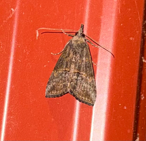
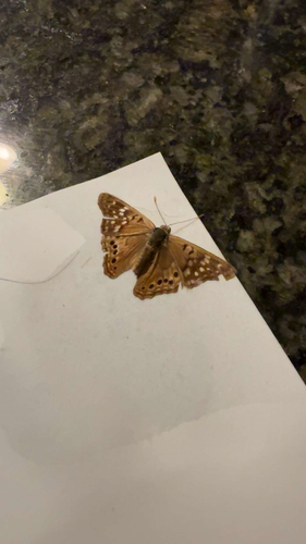
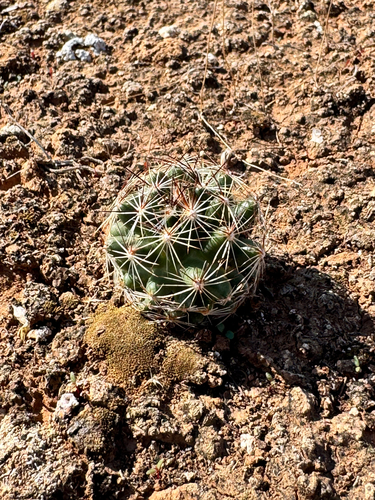
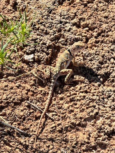
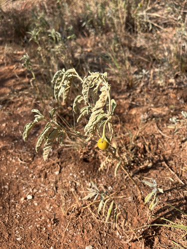
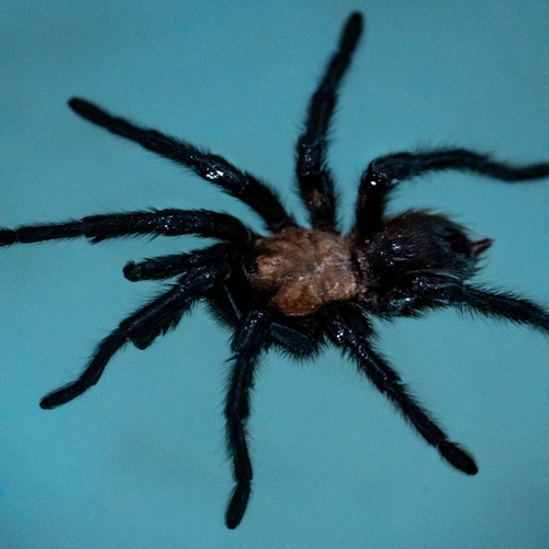
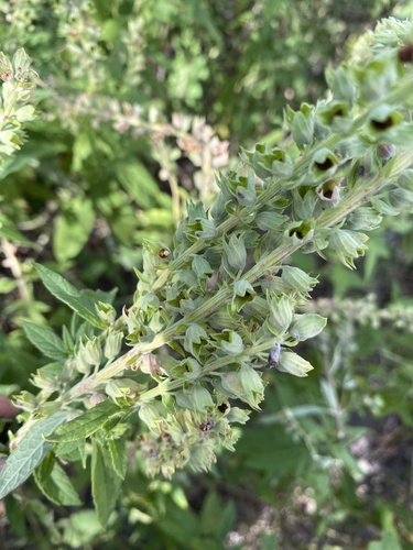
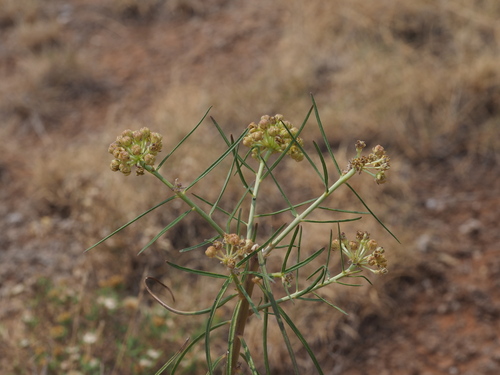
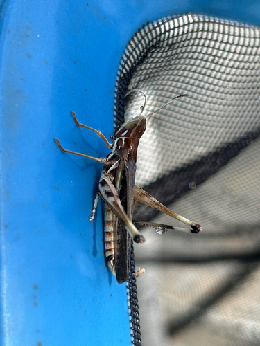
Research-grade observations from iNaturalist (within ~15 mi).
Nearest stream gauge
Events
Gallery
Sources
- • Wikipedia
- • US Census Bureau (ACS 5-year estimates)
- • NOAA National Weather Service
- • Wikidata
- • NCES via Urban Institute Education Data Portal
- • iNaturalist
- • CDC PLACES
- • Open-Meteo / sunrise-sunset.org
- • Wikipedia Pageviews API
- • Open Library
- • NASA EONET