Browse / United States / Oklahoma / Fallis
Fallis
Oklahomatown

Fallis
Total population
4
Median home value
$112,500
Bachelor's+
Median income
$0
Demographic figures from US Census Bureau · ACS 5-year estimates. Overview below cites Wikipedia and may reference a different year.
City facts
Facts from Wikidata (CC0).
Overview
Fallis is a town in Lincoln County, Oklahoma, United States. The population was 21 at the time of the 2020 census, down from 27 residents at the 2010 census.
Read more on WikipediaHistory & geography
History
Fallis was founded in 1892, just south of an Indian village on the western edge of the Iowa Reservation, Originally known as Mission, it was renamed in 1894 for its prime developer and first postmaster, Judge William Henry Fallis. Although the town is mostly abandoned today, and is nearly a ghost town, during the early 1900s Fallis was a whistle-stop for several railroad lines, and was a thriving little community with stores, hotels, banks, lumber yards, and other businesses, as well as a city hall. The population may have reached 400 during this time. Fallis was the home of several accomplished authors and poets. However, Fallis still maintains a volunteer firestation, and a community center was built in 1999.
Geography
Located in western Lincoln County, Fallis is situated on a paved county road five miles northwest of Wellston. According to the United States Census Bureau, the town has a total area of , all land.
Excerpted from the corresponding Wikipedia article (CC BY-SA).
Demographics & economy
Race & ethnicity
Source: US Census Bureau — American Community Survey, 5-year estimates.
Geography
Coordinates & boundaries from the US Census TIGER/Line shapefiles.
Climate
Current forecast
Forecast for Fallis, OK from NOAA NWS API.
Air quality
Industrial & pollution facilities
Natural hazard risk
Health (adults)
Walkability
Amenities nearby
Wildlife & biodiversity
Schools
Largest nearby schools
- WELLSTON ESElementary · Wellston · 259 students · 17.3:1 ratio
- CARNEY ESElementary · Carney · 163 students · 27.2:1 ratio
- WELLSTON HSHigh · Wellston · 129 students · 12.9:1 ratio
- WELLSTON MSMiddle · Wellston · 126 students · 21:1 ratio
- CARNEY HSHigh · Carney · 53 students · 17.7:1 ratio
Public K–12 schools within ~10 mi from Urban Institute Education Data Portal (NCES Common Core of Data, 2022).
Earthquake history
Photos
Sights & places nearby
Notable people from here


People born within ~10 km, from Wikidata (CC0). Click any name for their Wikipedia article.
Nearby places in Oklahoma
- Wellston5.5 mi away
- Carney7 mi away · pop. 562
- Warwick7.5 mi away · pop. 202
- Tryon12.1 mi away · pop. 372
- Coyle15.5 mi away · pop. 522
- Langston15.5 mi away · pop. 1,692
- Agra17.2 mi away · pop. 335
- Harrah19.5 mi away · pop. 6,684
- Spencer21.8 mi away
- Ripley22 mi away
- Lake Aluma23.8 mi away · pop. 105
- Midwest City24.7 mi away · pop. 58,297
Geography & sun
Elevation, sunrise/sunset and daylight from Open-Meteo. Solar climatology from NASA POWER.
Nearby airports
Public attention
Pageview totals from the Wikimedia Pageviews API.
Books about this place
Recent natural events nearby
- Wildfire WRIGHT, Hughes, OklahomaWildfires · 2026-08-29 · 67 mi
- Wildfire GRACEMONT, Caddo, OklahomaWildfires · 2026-09-13 · 69 mi
- Wildfire 2690, Caddo, OklahomaWildfires · 2026-08-21 · 72 mi
- Wildfire B.B, Osage, OklahomaWildfires · 2026-08-06 · 88 mi
- Wildfire BISON, Osage, OklahomaWildfires · 2026-08-21 · 89 mi
- Wildfire PINTO, Stephens, OklahomaWildfires · 2026-09-08 · 96 mi
- Wildfire MEERS, Comanche, OklahomaWildfires · 2026-09-08 · 108 mi
- Wildfire Atoka Lake, Atoka, OklahomaWildfires · 2026-09-14 · 109 mi
Wildfires, storms and other events from NASA EONET (last 12 months, within 250 mi).
Ground air-quality sensors
Recently spotted species
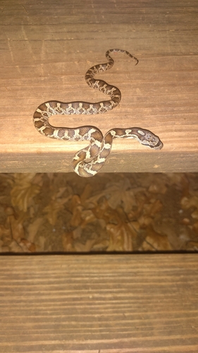
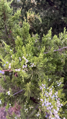
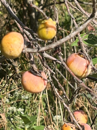
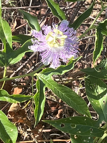
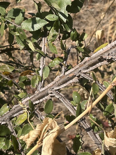
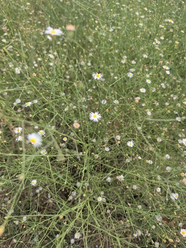
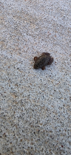
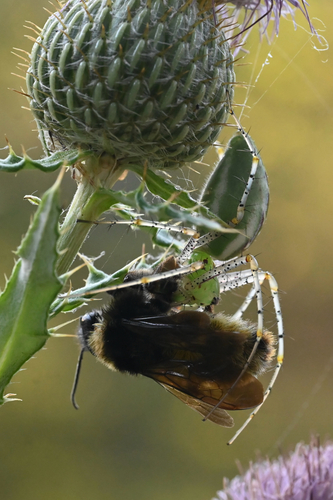
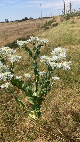
Research-grade observations from iNaturalist (within ~15 mi).
Nearest stream gauge
Events
Gallery
Sources
- • Wikipedia
- • US Census Bureau (ACS 5-year estimates)
- • NOAA National Weather Service
- • Wikidata
- • NCES via Urban Institute Education Data Portal
- • iNaturalist
- • Open-Meteo / sunrise-sunset.org
- • Wikipedia Pageviews API
- • NASA EONET