Browse / United States / Oklahoma / Kaw City
Kaw City
Oklahomacity

Kaw City
Total population
283
Median home value
$124,200
Bachelor's+
Median income
$54,000
Demographic figures from US Census Bureau · ACS 5-year estimates. Overview below cites Wikipedia and may reference a different year.
City facts
Facts from Wikidata (CC0).
Overview
Kaw City is a city in eastern Kay County, Oklahoma, United States. The population was 325 as of the 2020 United States census. Kaw City was named for the Kanza Indians, called the Kaw by locals.
Read more on WikipediaHistory & geography
History
In 1902, the original Kaw City was founded, prior to Oklahoma statehood, as a farming community in the fertile oxbow bend of the Arkansas River. Kaw City was across the river from the Kaw Indian reservation and the Kaw Agency. By statehood in 1907, it had 486 inhabitants. Although the original town site is now inundated by the waters of Kaw Lake, the old town was quite a busy place. It became a booming oil town in 1919, when 'black gold' was discovered in nearby Kay County and the present Osage Nation reservation. The population jumped from 627 in 1920 to 1,001 in 1930. Many buildings in Kaw City, including the old Santa Fe Railroad Depot which is now the Kaw City Museum, were moved to the town's present location, on high ground near the lake. The Santa Fe Railroad Depot is listed on the National Register of Historic Places. The depot is one of only two listed structures that have been moved from their original locations elsewhere in Oklahoma, the other being Will Rogers Homestead near Claremore, which was also moved to make way for a lake. When the water in the lake is exceptionally low, some of the foundations of the old structures can still be seen just above the water. The Kaw City Cemetery (all headstones and the majority of the caskets) were also moved and given a separate section within Ponca City's IOOF cemetery, west of Conoco just south of Highway 60. The Kaw Indian cemetery located across the Arkansas river in Washunga was moved to Newkirk, Oklahoma.
Geography
Kaw City is located on a peninsula extending into the Kaw Lake impoundment of the Arkansas River. Washunga lies to the north across the lake. Oklahoma State Highway 11 passes through the community. According to the United States Census Bureau, the city has a total area of , of which is land and (51.26%) is water.
Excerpted from the corresponding Wikipedia article (CC BY-SA).
Demographics & economy
Race & ethnicity
Source: US Census Bureau — American Community Survey, 5-year estimates.
Geography
Coordinates & boundaries from the US Census TIGER/Line shapefiles.
Climate
Current forecast
Forecast for Kaw City, OK from NOAA NWS API.
Air quality
Industrial & pollution facilities
Natural hazard risk
Health (adults)
Walkability
Amenities nearby
Wildlife & biodiversity
Schools
Earthquake history
Photos
Sights & places nearby
Notable people from here
Nearby places in Oklahoma
Geography & sun
Elevation, sunrise/sunset and daylight from Open-Meteo. Solar climatology from NASA POWER.
Nearby airports
Public attention
Pageview totals from the Wikimedia Pageviews API.
Books about Kaw City
Search results from Open Library.
Recent natural events nearby
- Wildfire B.B, Osage, OklahomaWildfires · 2026-08-06 · 24 mi
- Wildfire BISON, Osage, OklahomaWildfires · 2026-08-21 · 30 mi
- Wildfire WRIGHT, Hughes, OklahomaWildfires · 2026-08-29 · 114 mi
- Wildfire GRACEMONT, Caddo, OklahomaWildfires · 2026-09-13 · 126 mi
- Wildfire 2690, Caddo, OklahomaWildfires · 2026-08-21 · 133 mi
- Wildfire Burnt Canyon, Woodward, OklahomaWildfires · 2026-08-15 · 134 mi
- Wildfire Semi 270, Woodward, OklahomaWildfires · 2026-08-01 · 148 mi
- Wildfire Calvary Creek, Washita, OklahomaWildfires · 2026-09-15 · 163 mi
Wildfires, storms and other events from NASA EONET (last 12 months, within 250 mi).
Ground air-quality sensors
Recently spotted species


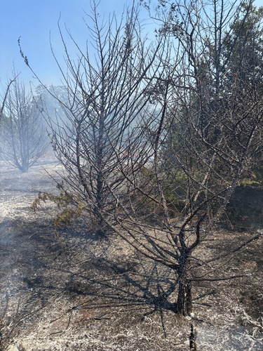
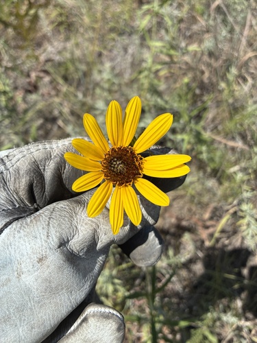
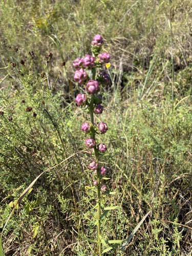
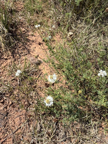
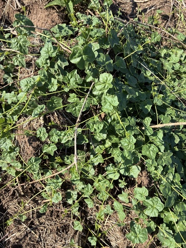
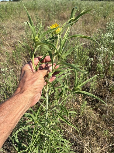
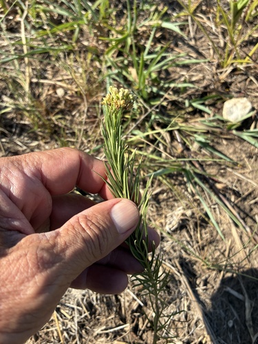
Research-grade observations from iNaturalist (within ~15 mi).
Nearest stream gauge
Events
Gallery
Sources
- • Wikipedia
- • US Census Bureau (ACS 5-year estimates)
- • NOAA National Weather Service
- • Wikidata
- • iNaturalist
- • Open-Meteo / sunrise-sunset.org
- • Wikipedia Pageviews API
- • Open Library
- • NASA EONET