Browse / United States / Oklahoma / Lawton
Lawton
Oklahomacity

Lawton
Total population
90,039
Median home value
$148,700
Bachelor's+
Median income
$55,506
Founded
1901
Air quality index
Demographic figures from US Census Bureau · ACS 5-year estimates. Overview below cites Wikipedia and may reference a different year.
City facts
Facts from Wikidata (CC0).
Overview
Lawton is a city in and the county seat of Comanche County in the U.S. state of Oklahoma. Located in western Oklahoma, about 87 mi (140 km) southwest of Oklahoma City, it is the principal city of the Lawton, Oklahoma, metropolitan statistical area. According to the 2020 census, Lawton's population was 90,381, making it the sixth-largest city in the state, and the largest in Western Oklahoma.
Read more on WikipediaHistory & geography
History
The territory of present-day Oklahoma was long settled by ancient cultures of prehistoric American Indians, including the Clovis, 11500 BCE; Folsom, 10600 BCE; and Plainview, 10000 BCE cultures. The valleys of the Arkansas River and Red River were the center of Caddoan Mississippian culture, which began to develop about 800 CE. The people developed more dense settlement and a complex architecture of earthwork platform mounds. Archeological evidence has shown that these people were the direct ancestors of the historic Caddoan-language peoples who inhabited the larger region, including the Caddo and the Wichita peoples. Spanish explorer Francisco Vásquez de Coronado visited in 1541, beginning European contact. Around the 1700s, two tribes from the north, the Comanche and Kiowa, migrated to the Oklahoma and Texas regions. For most of the 18th century, the French exerted nominal control over the Oklahoma region as part of French Louisiana. The largest French settlements were along the Gulf Coast, in New Orleans, Louisiana, and Mobile, Alabama. The limited interaction between the Native American and European peoples was based on fur trading. In 1803, the French sold this territory as Louisiana Purchase to the US, under President Thomas Jefferson. European Americans continued to migrate into the Southeast and across the Mississippi River into Indian territories, especially seeking territory to expand cotton cultivation, which was a lucrative commodity crop. They pressured the government to give them access to Indian lands. In 1830, under President Andrew Jackson, Congress passed the Indian Removal Act, which removed American Indian tribes from the Southeast and relocated them to Indian Territory west of the Mississippi River. The southern part of this territory was…
Geography
The city has a total area of , all land. Lawton is located about southwest of Oklahoma City. Other surrounding cities include Wichita Falls about to the south, Duncan about to the east, and Altus about to the west. Lawton lies in an area typical of the Great Plains, with prairie, few trees, and flat topography with gently rolling hills. The area consists mostly of Permian limestone on the northern sections of the city. Lawton lies in a relatively dry humid subtropical climate (Köppen climate classification Cfa), with frequent variations in weather daily, except during the constantly hot and dry summer. Frequent strong winds, usually from the south or south-southeast during the summer, help to lessen the hotter weather. Northerly winds during the winter can occasionally intensify cold periods. The average mean temperature for southwest Oklahoma is 62.6 °F (17.0 °C). The summers can be very hot; Lawton averages 31 days with temperatures 100 °F (37.8 °C) and above. The winters are typically mild, though periods of extreme cold can occur. Lawton averages eight days that fail to rise above freezing. Most notably, an F4 tornado in 1957, and an F3 tornado in 1979 struck the southern region of the city.
Excerpted from the corresponding Wikipedia article (CC BY-SA).
Demographics & economy
Race & ethnicity
Source: US Census Bureau — American Community Survey, 5-year estimates.
Geography
Coordinates & boundaries from the US Census TIGER/Line shapefiles.
Climate
Current forecast
Forecast for Lawton, OK from NOAA NWS API.
Air quality
Current readings from Open-Meteo Air Quality API (Copernicus CAMS European reanalysis).
Industrial & pollution facilities
Natural hazard risk
Health (adults)
Age-adjusted prevalence estimates from CDC PLACES (latest release).
Walkability
Amenities nearby
Wildlife & biodiversity
Most-observed species
- Northern CardinalCardinalis cardinalis (Linnaeus, 1758) · Aves2,299
- Carolina ChickadeePoecile carolinensis (Audubon, 1834) · Aves1,806
- Blue JayCyanocitta cristata (Linnaeus, 1758) · Aves1,618
- Turkey VultureCathartes aura (Linnaeus, 1758) · Aves1,600
- Tufted TitmouseBaeolophus bicolor (Linnaeus, 1766) · Aves1,599
- Mourning DoveZenaida macroura (Linnaeus, 1758) · Aves1,459
- House SparrowPasser domesticus (Linnaeus, 1758) · Aves1,439
- White-winged DoveZenaida asiatica (Linnaeus, 1758) · Aves1,402
Citizen-science & research observations from the Global Biodiversity Information Facility (GBIF).
Schools
Largest nearby schools
- LAWTON HSHigh · Lawton · 1,417 students · 12.8:1 ratio
- EISENHOWER HSHigh · Lawton · 1,350 students · 19.9:1 ratio
- FREEDOM ESElementary · Lawton · 1,285 students · 21.1:1 ratio
- MACARTHUR HSHigh · Lawton · 1,163 students · 20.1:1 ratio
- EISENHOWER MSMiddle · Lawton · 1,035 students · 17.5:1 ratio
- CENTRAL MSMiddle · Lawton · 994 students · 16.6:1 ratio
- MACARTHUR MSMiddle · Lawton · 865 students · 17:1 ratio
- BISHOP PUBLIC SCHOOLElementary · Lawton · 570 students · 21.9:1 ratio
Public K–12 schools within ~10 mi from Urban Institute Education Data Portal (NCES Common Core of Data, 2022).
Earthquake history
Most recent
- M 2.54 — 2026-09-274 km NNE of Tatums, Oklahoma
- M 3.29 — 2026-09-042 km SSW of Dibble, Oklahoma
- M 2.72 — 2026-05-154 km SE of Ratliff City, Oklahoma
- M 2.91 — 2026-03-225 km SE of Ratliff City, Oklahoma
- M 2.76 — 2026-03-2110 km N of Alex, Oklahoma
- M 3.27 — 2026-03-017 km SE of Ratliff City, Oklahoma
Events from the USGS Earthquake Catalog (global) (FDSN Event Web Service).
Photos
Sights & places nearby
Notable people from here


People born within ~10 km, from Wikidata (CC0). Click any name for their Wikipedia article.
Nearby places in Oklahoma
- Medicine Park8.7 mi away · pop. 418
- Lakeside Village12.6 mi away · pop. 57
- Elgin13.5 mi away · pop. 3,608
- Edgewater Park14.4 mi away · pop. 135
- Sterling16.7 mi away
- Indiahoma18.8 mi away · pop. 297
- Chattanooga18.9 mi away · pop. 406
- Temple26.2 mi away
- Loveland29.5 mi away · pop. 11
- Sunray30.3 mi away
- Randlett30.6 mi away
- Devol30.8 mi away · pop. 146
Geography & sun
Elevation, sunrise/sunset and daylight from Open-Meteo. Solar climatology from NASA POWER.
Nearby airports
Public attention
Pageview totals from the Wikimedia Pageviews API.
Books about Lawton
![Hornaday Greenhouse, Lawton, Oklahoma [catalog]](https://covers.openlibrary.org/b/id/7402918-M.jpg)
Search results from Open Library.
Recent natural events nearby
- Wildfire SOUTH RAILROAD, Comanche, OklahomaWildfires · 2026-08-30 · 17 mi
- Wildfire RAILROAD SOUTH, Comanche, OklahomaWildfires · 2026-08-29 · 17 mi
- Wildfire MEERS, Comanche, OklahomaWildfires · 2026-09-08 · 21 mi
- Wildfire 2690, Caddo, OklahomaWildfires · 2026-08-21 · 40 mi
- Wildfire Calvary Creek, Washita, OklahomaWildfires · 2026-09-15 · 49 mi
- Wildfire PINTO, Stephens, OklahomaWildfires · 2026-09-08 · 49 mi
- Wildfire GRACEMONT, Caddo, OklahomaWildfires · 2026-09-13 · 50 mi
- Wildfire Black Kettle, Roger Mills, OklahomaWildfires · 2026-09-14 · 105 mi
Wildfires, storms and other events from NASA EONET (last 12 months, within 250 mi).
Ground air-quality sensors
Recently spotted species
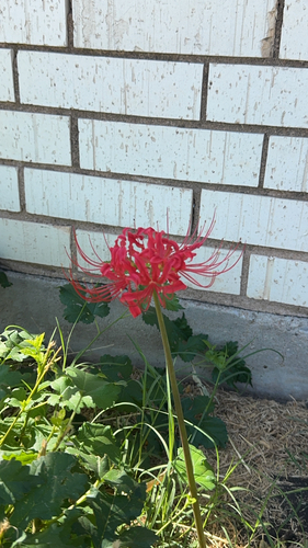


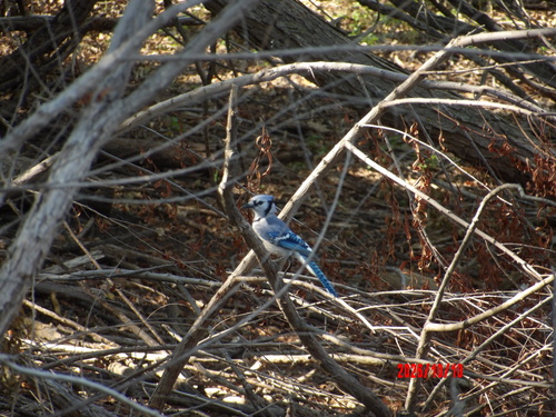
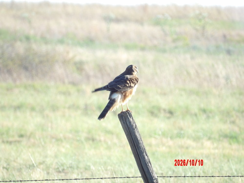

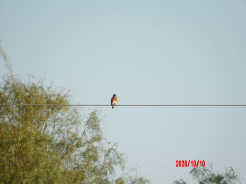
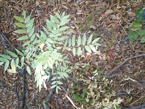
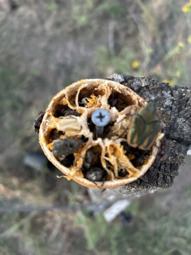
Research-grade observations from iNaturalist (within ~15 mi).
Nearest stream gauge
Live readings from USGS NWIS · measured 2026-10-16 11:45 UTC.
Events
Gallery
Sources
- • Wikipedia
- • US Census Bureau (ACS 5-year estimates)
- • NOAA National Weather Service
- • Wikidata
- • Open-Meteo Air Quality (CAMS)
- • USGS Earthquake Catalog (global feed)
- • USGS NWIS (water data)
- • NCES via Urban Institute Education Data Portal
- • GBIF (Global Biodiversity Information Facility)
- • iNaturalist
- • CDC PLACES
- • Open-Meteo / sunrise-sunset.org
- • Wikipedia Pageviews API
- • Open Library
- • NASA EONET