Browse / United States / Oklahoma / Madill
Madill
Oklahomacity

Madill
Total population
4,004
Median home value
$109,600
Bachelor's+
Median income
$47,522
Founded
1901
Demographic figures from US Census Bureau · ACS 5-year estimates. Overview below cites Wikipedia and may reference a different year.
City facts
Facts from Wikidata (CC0).
Overview
Madill is a city in and the county seat of Marshall County, Oklahoma, United States. It was named in honor of George Alexander Madill, an attorney for the St. Louis-San Francisco Railway. The population was 3,914 as of the 2020 Census, up 3.8% from the figure reported in the 2010 census of 3,770, which itself was an increase of 10.8 percent from the 3,410 reported at the 2000 census. It is best known as the site of the annual National Sand Bass Festival. It is part of the Texoma region.
Read more on WikipediaHistory & geography
History
Madill was founded in 1900 by William N. Taliaferro, who had settled in 1886, in what was then known as Pickens County, Chickasaw Nation, in the Indian Territory. Taliaferro owned a farm and operated some ranches in the nearby town of Oakland, northwest of Madill. Oakland had been the area's largest town, but the St. Louis, San Francisco and New Orleans Railroad building through the town caused Madill to grow and Oakland, two miles northwest, to decline. A post office was established at Madill on April 29, 1901, The city was chartered on September 12, 1902. The first public school opened in a four-room frame structure built on the south side of the town in 1903. Farming and ranching became the town's principal industries early in its history because the surrounding area was highly fertile and the railroad provided good transportation to markets. There were also mineral springs nearby, and an oil seep north of town. The Arbuckle oilfield was discovered in 1904, and experienced another boom in 1924. Pure Oil Company brought in a well east of town in 1939 and built a company town called Pure Camp to house the oilfield workers. Pure Camp was destroyed by a tornado and killed two people on April 2, 1957. The camp closed permanently in July, 1959. Madill was struck by another EF-2 tornado during the Tornado outbreak of April 22–23, 2020.
Geography
According to the United States Census Bureau, the city has a total area of , of which is land and (1.37%) is water. Madill is about north of Lake Texoma. It was originally named Kenlock. File:WorthHotelMadillOk (1 of 1).jpg|Worth Hotel Building (2016) File:United States Post Office Madill (1 of 1).jpg|United States Post Office (2016)
Excerpted from the corresponding Wikipedia article (CC BY-SA).
Demographics & economy
Race & ethnicity
Source: US Census Bureau — American Community Survey, 5-year estimates.
Geography
Coordinates & boundaries from the US Census TIGER/Line shapefiles.
Climate
Current forecast
Forecast for Madill, OK from NOAA NWS API.
Air quality
Industrial & pollution facilities
Natural hazard risk
Health (adults)
Age-adjusted prevalence estimates from CDC PLACES (latest release).
Walkability
Amenities nearby
Wildlife & biodiversity
Most-observed species
- American CrowCorvus brachyrhynchos C.L.Brehm, 1822 · Aves1,097
- Turkey VultureCathartes aura (Linnaeus, 1758) · Aves992
- Northern CardinalCardinalis cardinalis (Linnaeus, 1758) · Aves850
- Red-bellied WoodpeckerMelanerpes carolinus (Linnaeus, 1758) · Aves771
- Carolina ChickadeePoecile carolinensis (Audubon, 1834) · Aves730
- Tufted TitmouseBaeolophus bicolor (Linnaeus, 1766) · Aves726
- Carolina WrenThryothorus ludovicianus (Latham, 1790) · Aves686
- Black VultureCoragyps atratus (Bechstein, 1793) · Aves647
Citizen-science & research observations from the Global Biodiversity Information Facility (GBIF).
Schools
Earthquake history
Most recent
- M 2.67 — 2026-08-135 km NE of Wardville, Oklahoma
- M 2.55 — 2026-08-094 km ENE of Wardville, Oklahoma
- M 2.94 — 2026-08-094 km ENE of Wardville, Oklahoma
- M 2.69 — 2026-08-084 km ENE of Wardville, Oklahoma
- M 2.72 — 2026-05-154 km SE of Ratliff City, Oklahoma
- M 2.91 — 2026-03-225 km SE of Ratliff City, Oklahoma
Events from the USGS Earthquake Catalog (global) (FDSN Event Web Service).
Photos
Sights & places nearby
Notable people from here
Nearby places in Oklahoma
Geography & sun
Elevation, sunrise/sunset and daylight from Open-Meteo. Solar climatology from NASA POWER.
Nearby airports
Public attention
Pageview totals from the Wikimedia Pageviews API.
Books about Madill

Search results from Open Library.
Recent natural events nearby
- Wildfire Atoka Lake, Atoka, OklahomaWildfires · 2026-09-14 · 44 mi
- Wildfire PINTO, Stephens, OklahomaWildfires · 2026-09-08 · 52 mi
- Wildfire Buck Creek, Pushmataha, OklahomaWildfires · 2026-08-25 · 68 mi
- Wildfire Tram Trail, Pushmataha, OklahomaWildfires · 2026-09-14 · 81 mi
- Wildfire WRIGHT, Hughes, OklahomaWildfires · 2026-08-29 · 87 mi
- Wildfire Alexander Trail Fire, Pushmataha, OklahomaWildfires · 2026-08-30 · 89 mi
- Wildfire Alexander Trail, Pushmataha, OklahomaWildfires · 2026-08-30 · 89 mi
- Wildfire Snake Mountain, Pushmataha, OklahomaWildfires · 2026-08-14 · 95 mi
Wildfires, storms and other events from NASA EONET (last 12 months, within 250 mi).
Ground air-quality sensors
Recently spotted species
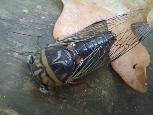
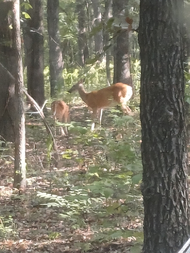
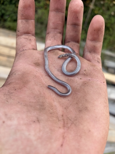
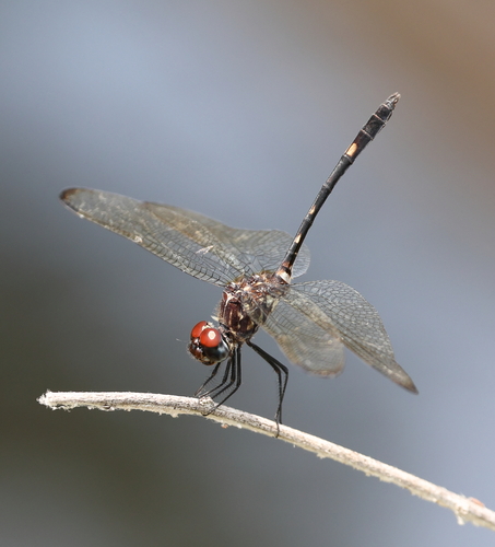
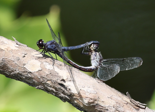
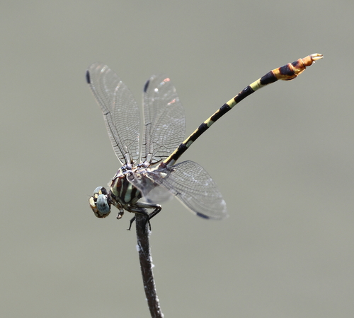
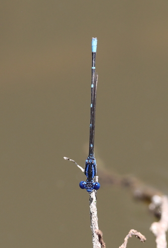
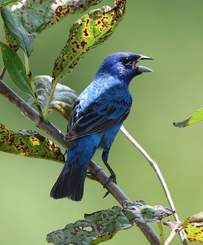
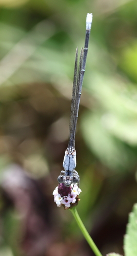
Research-grade observations from iNaturalist (within ~15 mi).
Nearest stream gauge
Events
Gallery
Sources
- • Wikipedia
- • US Census Bureau (ACS 5-year estimates)
- • NOAA National Weather Service
- • Wikidata
- • USGS Earthquake Catalog (global feed)
- • GBIF (Global Biodiversity Information Facility)
- • iNaturalist
- • CDC PLACES
- • Open-Meteo / sunrise-sunset.org
- • Wikipedia Pageviews API
- • Open Library
- • NASA EONET