Browse / United States / Oklahoma / Mangum
Mangum
Oklahomacity

Mangum
Total population
2,755
Median home value
$96,500
Bachelor's+
Median income
$49,470
Demographic figures from US Census Bureau · ACS 5-year estimates. Overview below cites Wikipedia and may reference a different year.
City facts
Overview
Mangum is a city in and the county seat of Greer County, Oklahoma, United States. The population was 2,762 as of the 2020 United States census. Mangum was originally part of Old Greer County in the Texas panhandle. The community was named for A. S. Mangum, who owned the land on which the town was founded in 1882. It became part of the Oklahoma Territory in 1896, and thus part of the state of Oklahoma on November 16, 1907.
Read more on WikipediaHistory & geography
History
Beginning in 1876, the nearby Great Western Cattle Trail was used to drive cattle north from Texas to market. The community of Mangum began in 1882 when Henry Clay Sweet established it on land granted to A. S. Mangum by the state of Texas. The Mangum post office was established April 15, 1886. This part of Texas (old Greer County) was given to Oklahoma in 1896.}} Other early businesses in or around Mangum included the Oklahoma Granite Company, which opened in 1904, the Mangum Star newspaper, first published in 1887, and the Mangum Brick Plant, established in 1903 by D. J. Doyle. The newspaper still publishes in the 21st century. The brick plant, now owned by Jed Winters, also still operates and has greatly expanded production. It burnt out on Friday, December 13, 2019 after a power outage, as it was not attached to any special electrical supply. Mangum is the setting for the 2008 movie Beer for My Horses, starring Toby Keith and Rodney Carrington. On May 20, 2019, Western Mangum was hit hard by a destructive EF2 tornado during a tornado outbreak that impacted central Oklahoma. When the tornado entered Mangum, the tornado damaged the roof of an apartment building before dissipating. In 2020, during the COVID-19 pandemic Mangum made national news when a local church was instrumental in spreading COVID-19 throughout the town, resulting in several fatalities. The Mayor at the time, Mary Jane Scott, put the town on lockdown following direction from state governor Kevin Stitt. After the lockdown was lifted and many states reopened, the safety measures in place in Mangum were also removed.
Geography
According to the United States Census Bureau, the city has a total area of , all land. Lake Altus-Lugert is to the east-northeast. Mangum is in USDA Plant Hardiness Zone 7a, strongly suggesting that the coldest night of each year averages between 0 °F (-18 °C) and 5 °F (-15 °C). On February 11, 2017, Mangum reached a high of 99.41 °F (37.45 °C). This is the Oklahoma state record high for meteorological winter (December through February). What's even more remarkable is that this occurred just three days before snow fell on Mangum.
Excerpted from the corresponding Wikipedia article (CC BY-SA).
Demographics & economy
Race & ethnicity
Source: US Census Bureau — American Community Survey, 5-year estimates.
Geography
Coordinates & boundaries from the US Census TIGER/Line shapefiles.
Climate
Current forecast
Forecast for Mangum, OK from NOAA NWS API.
Air quality
Industrial & pollution facilities
Natural hazard risk
Health (adults)
Age-adjusted prevalence estimates from CDC PLACES (latest release).
Walkability
Amenities nearby
Wildlife & biodiversity
Schools
Largest nearby schools
- EDISON ESElementary · Mangum · 239 students · 18.4:1 ratio
- MANGUM HSHigh · Mangum · 175 students · 15.9:1 ratio
- GRANITE ESElementary · Granite · 158 students · 17.6:1 ratio
- MANGUM MSMiddle · Mangum · 156 students · 15.6:1 ratio
- GRANITE HSHigh · Granite · 78 students · 15.6:1 ratio
- Mangum Early Childhood CenterElementary · Mangum · 74 students · 18.5:1 ratio
- LAKESIDE SCHOOLHigh · Granite · 48 students
Public K–12 schools within ~10 mi from Urban Institute Education Data Portal (NCES Common Core of Data, 2022).
Earthquake history
Photos
Sights & places nearby
Notable people from here


People born within ~10 km, from Wikidata (CC0). Click any name for their Wikipedia article.
Nearby places in Oklahoma
Geography & sun
Elevation, sunrise/sunset and daylight from Open-Meteo. Solar climatology from NASA POWER.
Nearby airports
Public attention
Pageview totals from the Wikimedia Pageviews API.
Books about Mangum
Search results from Open Library.
Recent natural events nearby
- Wildfire Calvary Creek, Washita, OklahomaWildfires · 2026-09-15 · 35 mi
- Wildfire MEERS, Comanche, OklahomaWildfires · 2026-09-08 · 47 mi
- Wildfire SOUTH RAILROAD, Comanche, OklahomaWildfires · 2026-08-30 · 48 mi
- Wildfire RAILROAD SOUTH, Comanche, OklahomaWildfires · 2026-08-29 · 48 mi
- Wildfire Black Kettle, Roger Mills, OklahomaWildfires · 2026-09-14 · 61 mi
- Wildfire 2690, Caddo, OklahomaWildfires · 2026-08-21 · 77 mi
- Wildfire GRACEMONT, Caddo, OklahomaWildfires · 2026-09-13 · 78 mi
- Wildfire Old Deer, Carson, TexasWildfires · 2026-08-23 · 105 mi
Wildfires, storms and other events from NASA EONET (last 12 months, within 250 mi).
Ground air-quality sensors
Recently spotted species
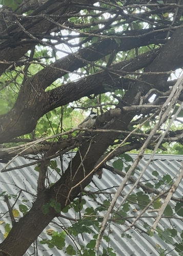

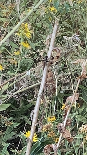
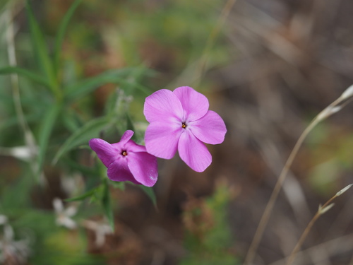

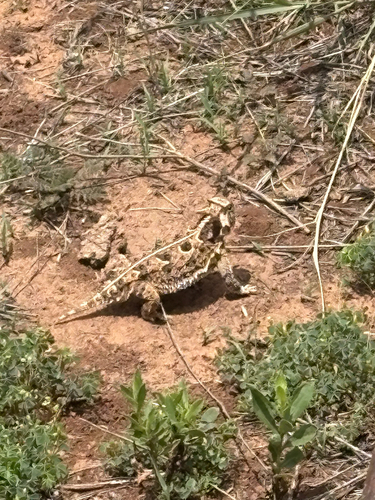

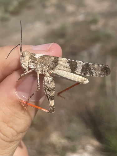
Research-grade observations from iNaturalist (within ~15 mi).
Nearest stream gauge
Events
Gallery
Sources
- • Wikipedia
- • US Census Bureau (ACS 5-year estimates)
- • NOAA National Weather Service
- • Wikidata
- • NCES via Urban Institute Education Data Portal
- • iNaturalist
- • CDC PLACES
- • Open-Meteo / sunrise-sunset.org
- • Wikipedia Pageviews API
- • Open Library
- • NASA EONET