Browse / United States / Oklahoma / Marietta
Marietta
OklahomaCDP
Total population
53
Median home value
$0
Bachelor's+
Median income
$0
Demographic figures from US Census Bureau · ACS 5-year estimates. Overview below cites Wikipedia and may reference a different year.
City facts
Overview
Situated in Oklahoma, United States, Marietta is a tiny census-designated community. Marietta maps to 35.848°, -94.653° — squarely within the warm temperate belt. Census-style estimates put the resident count near 53. Climatically, locations at this latitude tend to experience warm summers and cool winters. The location receives about 1,622 kWh/m² of solar irradiance per year and sunshine for roughly 63% of daylight hours. Resident density is around 11 per km², indicating low overall population density. It covers a compact 4.8 km² of land area. Additional figures on demographics, climate, geography and points of interest appear in the sections that follow, all drawn from open public datasets.
Summary composed automatically from structured open data on this page. See our Terms for details.
History & geography
History
Settlers were attracted by the fertile land near the Red River, which was conducive to agriculture and cattle raising. Cotton quickly became the principal crop. William "Bill" Washington had the largest cattle ranch in Pickens County, Chickasaw Nation, Indian Territory. Bill's brother, Jeremiah Calvin Washington (Jerry), who lived about a mile north of present-day Marietta on the Washington Ranch which has a historical marker and is lived in by a Washington descendant's extended family, became the town's first postmaster when the post office opened on December 20, 1887. He was a banker and gentleman rancher. A local story claims that the town was named for Jerry's wife, Marietta Love Washington. At the time of its founding, Marietta was located in Pickens County, Chickasaw Nation. The Gulf, Colorado and Santa Fe Railway (later the Atchison, Topeka and Santa Fe Railway) laid its rail line in early 1887, stimulating economic growth for the future town of Marietta, Indian Territory. The first train ran July 28, 1887.
Geography
Marietta is north of the Red River and south of Oklahoma City. According to the United States Census Bureau, the city has a total area of , of which is land and 0.42% is water.
Excerpted from the corresponding Wikipedia article (CC BY-SA).
Demographics & economy
Race & ethnicity
Source: US Census Bureau — American Community Survey, 5-year estimates.
Geography
Coordinates & boundaries from the US Census TIGER/Line shapefiles.
Climate
Current forecast
Forecast for Marietta, OK from NOAA NWS API.
Air quality
Industrial & pollution facilities
Natural hazard risk
Health (adults)
Age-adjusted prevalence estimates from CDC PLACES (latest release).
Walkability
Amenities nearby
Wildlife & biodiversity
Most-observed species
- American CrowCorvus brachyrhynchos C.L.Brehm, 1822 · Aves115
- Blue JayCyanocitta cristata (Linnaeus, 1758) · Aves107
- Northern CardinalCardinalis cardinalis (Linnaeus, 1758) · Aves99
- Carolina ChickadeePoecile carolinensis (Audubon, 1834) · Aves88
- Tufted TitmouseBaeolophus bicolor (Linnaeus, 1766) · Aves88
- European StarlingSturnus vulgaris Linnaeus, 1758 · Aves83
- Turkey VultureCathartes aura (Linnaeus, 1758) · Aves81
- Red-bellied WoodpeckerMelanerpes carolinus (Linnaeus, 1758) · Aves79
Citizen-science & research observations from the Global Biodiversity Information Facility (GBIF).
Schools
Largest nearby schools
- MARYETTA PUBLIC SCHOOLElementary · Stilwell · 645 students · 14.7:1 ratio
- STILWELL HSHigh · Stilwell · 640 students · 16.4:1 ratio
- STILWELL ESElementary · Stilwell · 479 students · 14.5:1 ratio
- ZION PUBLIC SCHOOLElementary · Stilwell · 285 students · 12.4:1 ratio
- STILWELL MSMiddle · Stilwell · 275 students · 11.5:1 ratio
- ROCKY MOUNTAIN PUBLIC SCHOOLElementary · Stilwell · 174 students · 14.5:1 ratio
- DAHLONEGAH PUBLIC SCHOOLElementary · Stilwell · 159 students · 11.4:1 ratio
- PEAVINE PUBLIC SCHOOLElementary · Stilwell · 80 students · 8.9:1 ratio
Public K–12 schools within ~10 mi from Urban Institute Education Data Portal (NCES Common Core of Data, 2022).
Earthquake history
Most recent
- M 2.82 — 2024-03-239 km SE of Foyil, Oklahoma
- M 2.5 — 2021-05-253 km NE of Quinton, Oklahoma
- M 2.7 — 2021-05-234 km NE of Quinton, Oklahoma
- M 2.53 — 2021-05-234 km NE of Quinton, Oklahoma
- M 2.66 — 2021-05-224 km NE of Quinton, Oklahoma
- M 2.53 — 2021-04-085 km WNW of Kinta, Oklahoma
Events from the USGS Earthquake Catalog (global) (FDSN Event Web Service).
Photos
Sights & places nearby
Notable people from here

People born within ~10 km, from Wikidata (CC0). Click any name for their Wikipedia article.
Nearby places in Oklahoma
Geography & sun
Elevation, sunrise/sunset and daylight from Open-Meteo. Solar climatology from NASA POWER.
Nearby airports
Public attention
Pageview totals from the Wikimedia Pageviews API.
Books about Marietta

Search results from Open Library.
Recent natural events nearby
- Wildfire WRIGHT, Hughes, OklahomaWildfires · 2026-08-29 · 93 mi
- Wildfire Snake Mountain, Pushmataha, OklahomaWildfires · 2026-08-14 · 99 mi
- Wildfire Alexander Trail Fire, Pushmataha, OklahomaWildfires · 2026-08-30 · 101 mi
- Wildfire Alexander Trail, Pushmataha, OklahomaWildfires · 2026-08-30 · 101 mi
- Wildfire Buck Creek, Pushmataha, OklahomaWildfires · 2026-08-25 · 110 mi
- Wildfire Tram Trail, Pushmataha, OklahomaWildfires · 2026-09-14 · 116 mi
- Wildfire BISON, Osage, OklahomaWildfires · 2026-08-21 · 118 mi
- Wildfire B.B, Osage, OklahomaWildfires · 2026-08-06 · 124 mi
Wildfires, storms and other events from NASA EONET (last 12 months, within 250 mi).
Ground air-quality sensors
Recently spotted species
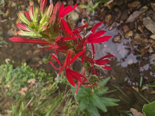
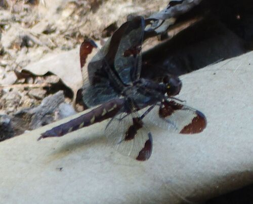
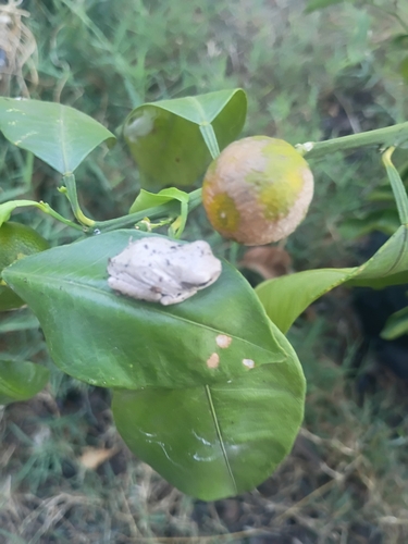
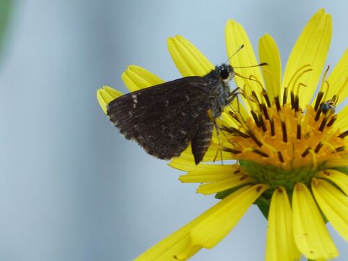
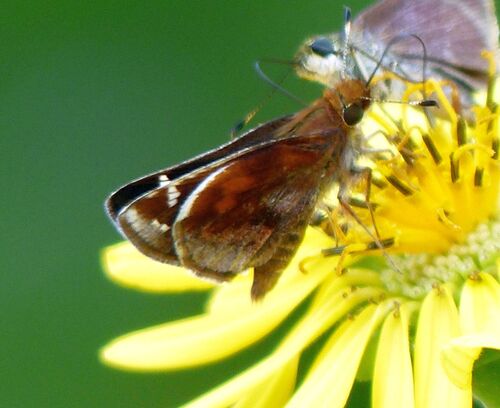
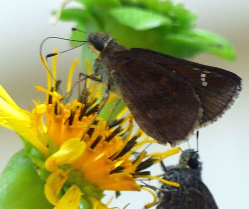
Research-grade observations from iNaturalist (within ~15 mi).
Nearest stream gauge
Events
Gallery
Sources
- • Wikipedia
- • US Census Bureau (ACS 5-year estimates)
- • NOAA National Weather Service
- • Wikidata
- • USGS Earthquake Catalog (global feed)
- • NCES via Urban Institute Education Data Portal
- • GBIF (Global Biodiversity Information Facility)
- • iNaturalist
- • CDC PLACES
- • Open-Meteo / sunrise-sunset.org
- • Wikipedia Pageviews API
- • Open Library
- • NASA EONET